-
Sports & Hobbies
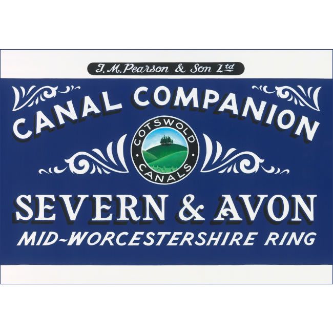
Severn and Avon Pearson Canal Companion
This canal companion describes the Severn and Avon rivers, along with full coverage of the popular Avon and Mid-Worcestershire ‘rings’.The River Severn is covered all the...
Regular price £14.95 GBPSale price £14.95 GBP Regular priceUnit price perSale Sold out -
Sports & Hobbies
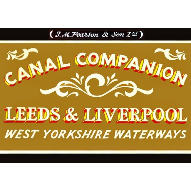
Leeds and Liverpool Pearson Canal Companion
This Leeds and Liverpool Companion describes all 127 miles of the Leeds and Liverpool Canal including the increasingly popular ëLiverpool Linkí which ushers canal travellers into...
Regular price £11.95 GBPSale price £11.95 GBP Regular priceUnit price perSale Sold out -
Sports & Hobbies
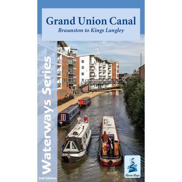
Grand Union Canal Map - Braunston to Kings Langley
This Heron waterways map covers the central part of the Grand Union Canal from Braunston (near Daventry) to Kings Langley, just outside of London. The map...
Regular price £5.99 GBPSale price £5.99 GBP Regular priceUnit price perSale Sold out -
Sports & Hobbies
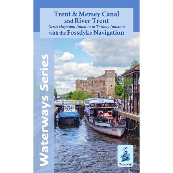
Trent & Mersey Canal and River Trent Heron Map
This Heron waterways map covers the Trent and Mersey Canal, River Trent and the Fossdyke Navigation at a scale of 1:50,000. It also includes detailed town...
Regular price £6.50 GBPSale price £6.50 GBP Regular priceUnit price perSale Sold out -
Sports & Hobbies
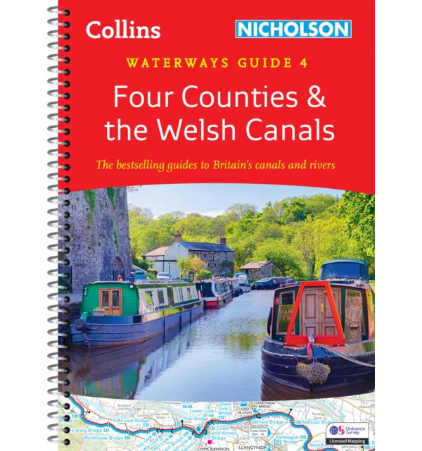
Nicholson Waterway Guide 4: Four Counties and Welsh Canals
This Nicholson Waterway guide number 4 covers the canals and waterways in Wales and from the south of Liverpool to the north of Birmingham, which are...
Regular price £16.99 GBPSale price £16.99 GBP Regular priceUnit price perSale Sold out -
Sports & Hobbies
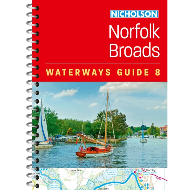
Nicholson Waterway Guide 8: Norfolk Broads
This Nicholson Waterways guide number 8 covers the Broads National Park, including the Norfolk Broads and Suffolk Broads. It also covers the River Waveney, River Yare,...
Regular price £9.99 GBPSale price £9.99 GBP Regular priceUnit price perSale Sold out -
Sports & Hobbies
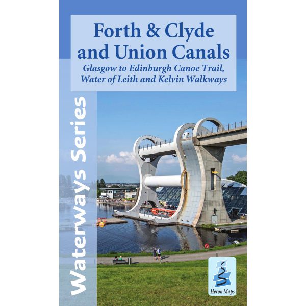
Forth & Clyde and Union Canals Heron Map
This Heron waterways map covers the Forth and Clyde canal, plus the Union Canal at a scale of 1:50,000. It also covers the Glasgow to Edinburgh...
Regular price £6.50 GBPSale price £6.50 GBP Regular priceUnit price perSale Sold out -
Sports & Hobbies
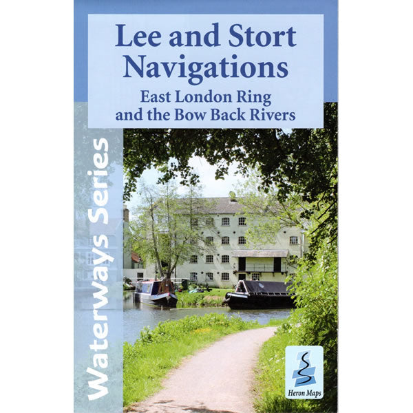
Lee and Stort Navigations Heron Map
This Heron waterways map covers the Lee and Stort Navigations at a scale of 1:45,000, plus the East London Ring and Bow Back Rivers at a...
Regular price £5.99 GBPSale price £5.99 GBP Regular priceUnit price perSale Sold out -
Sports & Hobbies
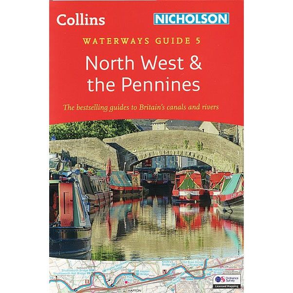
Nicholson Waterway Guide 5: North West and the Pennines
This Nicholson Waterway guide number 5 covers the canals and waterways in the north west of England around Merseyside and Manchester, plus the Pennines, which are...
Regular price £16.99 GBPSale price £16.99 GBP Regular priceUnit price perSale Sold out -
Sports & Hobbies
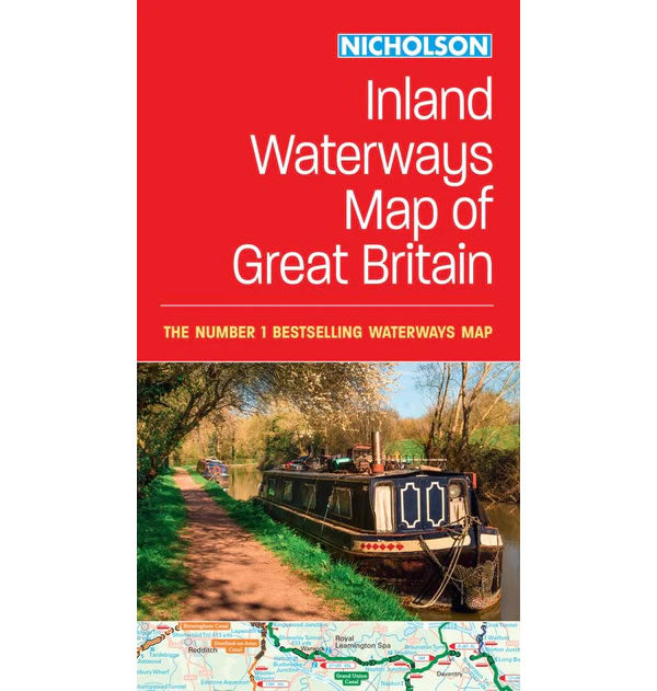
Nicholson Inland Waterways Map of Great Britain
A comprehensive cruise-planning map of Britain's inland waterways.This Nicholson Inland Waterways Map of Great Britain covers the entire network of canal and river navigations in England,...
Regular price £8.99 GBPSale price £8.99 GBP Regular priceUnit price perSale Sold out -
Sports & Hobbies
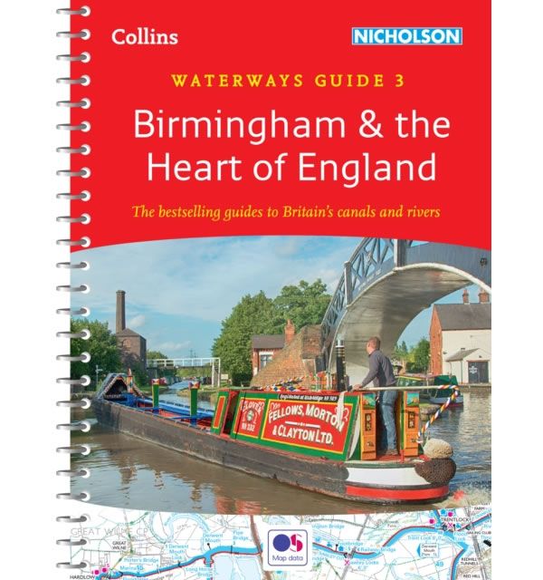
Nicholson Waterway Guide 3: Birmingham and Heart of England
This Nicholson Waterway guide covers the canals and waterways around Birmingham and central England, which are as follows:1) Ashby Canal2) Birmingham Canal Navigations (Main Line)3) Birmingham...
Regular price £16.99 GBPSale price £16.99 GBP Regular priceUnit price perSale Sold out -
Sports & Hobbies
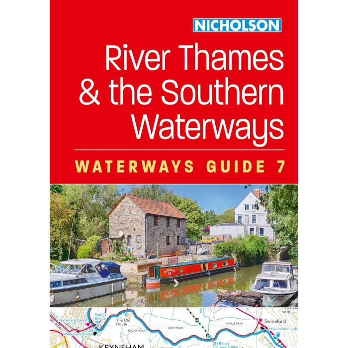
Nicholson Waterway Guide 7: River Thames and the Southern Waterways
This Nicholson Waterway guide number 7 covers the canals and waterways between Exeter and the River Thames in Southern England, which are as follows:1) Basingstoke Canal2)...
Regular price £16.99 GBPSale price £16.99 GBP Regular priceUnit price perSale Sold out -
Sports & Hobbies
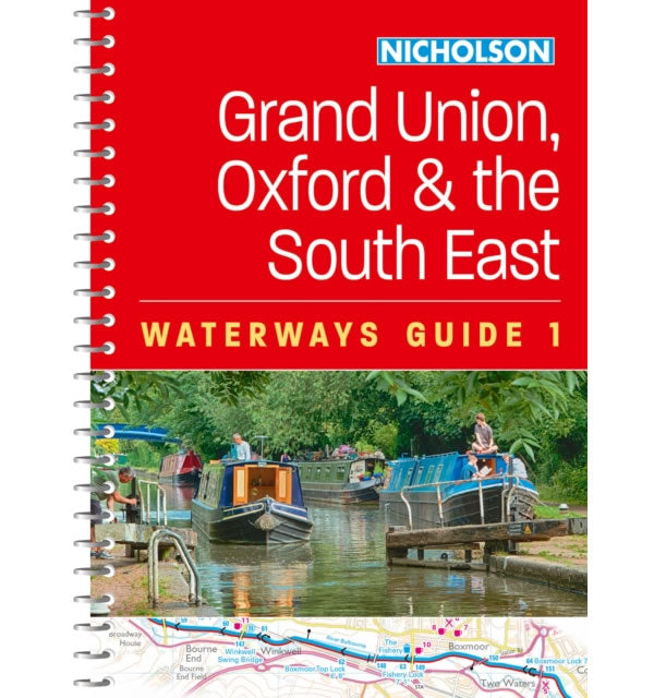
Nicholson Waterway Guide 1: Grand Union, Oxford and the South East
This Nicholson Waterway guide number 1 covers the canals and waterways between Birmingham and the River Medway, which are as follows:1) Chelmer and Blackwater Navigation.2) Grand...
Regular price £16.99 GBPSale price £16.99 GBP Regular priceUnit price perSale Sold out -
Sports & Hobbies
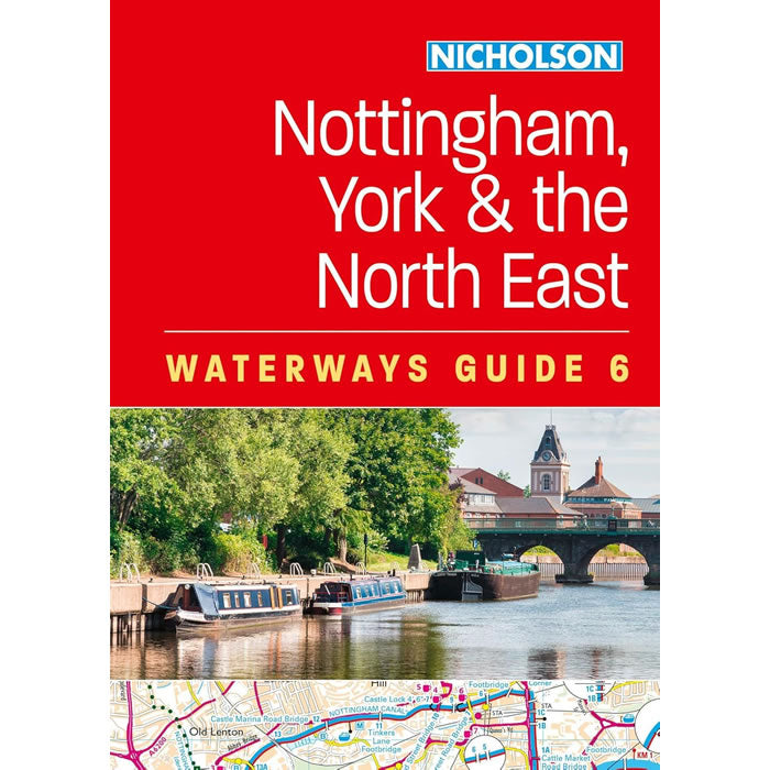
Nicholson Waterway Guide 6: Nottingham, York and North East
This Nicholson Waterway guide number 6 covers the canals and waterways in the North East of England between York and the River Trent south of Nottingham,...
Regular price £16.99 GBPSale price £16.99 GBP Regular priceUnit price perSale Sold out -
Sports & Hobbies
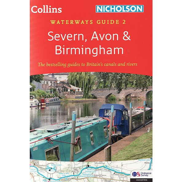
Nicholson Waterway Guide 2: Severn, Avon and Birmingham
This Nicholson Waterway guide number 2 covers the canals and waterways around Birmingham and the River Severn, which are as follows:1) River Avon2) Birmingham Canal Navigations...
Regular price £16.99 GBPSale price £16.99 GBP Regular priceUnit price perSale Sold out -
Sports & Hobbies
Inland Waterways of Great Britain
The Inland Waterways of Great Britain is the standard reference to the waterways of England, Wales and Scotland. The completely revised 8th edition retains the format...
Regular price £32.95 GBPSale price £32.95 GBP Regular priceUnit price perSale Sold out -
Sports & Hobbies
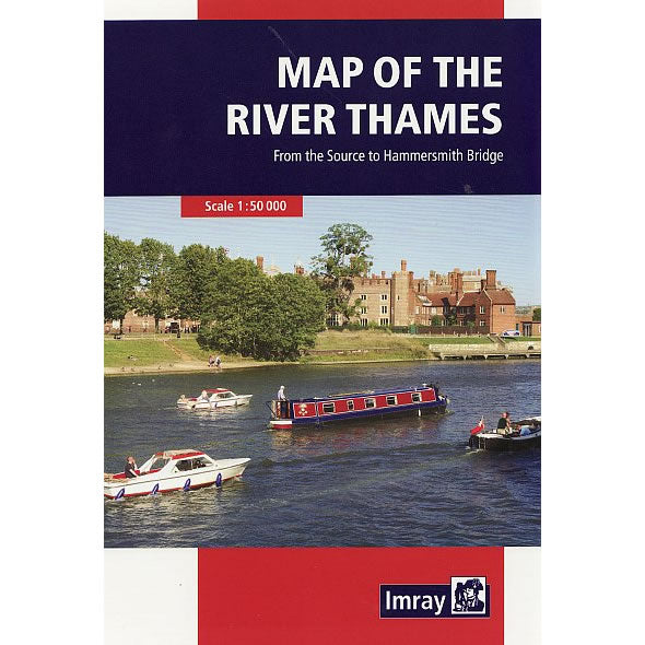
Imray Map of the River Thames
This Map of the River Thames covers the non-tidal Thames from its the source above Cricklade to the entrance of the Grand Union Canal at Brentford...
Regular price £9.95 GBPSale price £9.95 GBP Regular priceUnit price perSale Sold out -
Sports & Hobbies
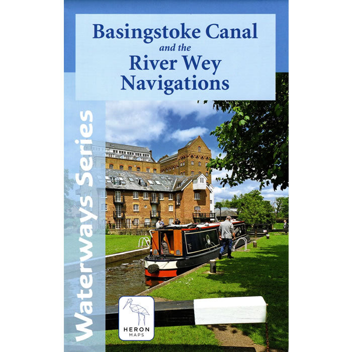
Basingstoke Canal and the River Wey Navigations Heron Map
This Heron waterways map covers the Basingstoke Canal and the River Wey Navigations at a scale of 1:45,000. The map provides detailed information for both waterways...
Regular price £7.50 GBPSale price £7.50 GBP Regular priceUnit price perSale Sold out
