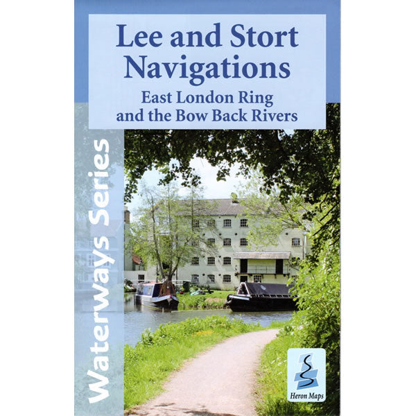
Lee and Stort Navigations Heron Map
Couldn't load pickup availability
Description
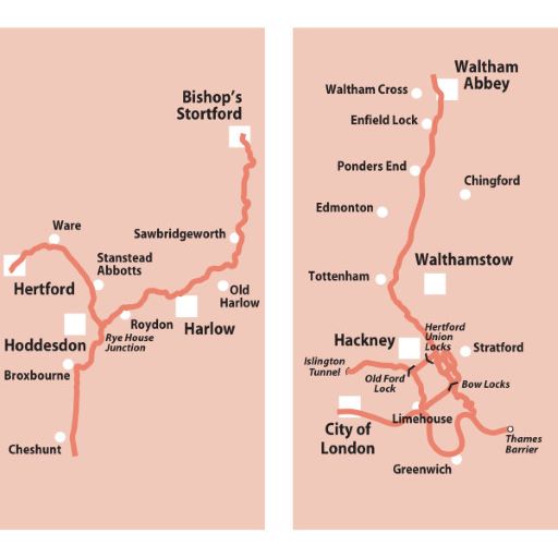
This Heron waterways map covers the Lee and Stort Navigations at a scale of 1:45,000, plus the East London Ring and Bow Back Rivers at a scale of 1:25,000. The map provides detailed information for both waterways and leisure users, and it is complimented by information panels and photographs.
The map covers the River Lee Navigation from Hertford all the way to where it meets the River Thames at two locations, Limehouse Basin and Blackwall, having split at Bow Locks. This is a total of 28 miles (45km) and it passes the towns of Ware, Hoddesdon, Cheshunt, Waltham Abbey, Walthamstow and Hackney. The map also covers the River Stort Navigation from Bishop’s Stortford to Hoddesdon where it meets the River Lee, passing the towns of Harlow and Roydon – a total of 14 miles (22km).
This map includes navigation and historical information, visitor moorings, marinas and boatyards, boat hire centres, facilities for the boat user, shops, and distance markers. Information for the tourist includes tourist information centres, places of interest, pubs, nature reserves, parks, churches, long distance paths, public toilets and caravan and camp sites.
Most of the Lee Navigation flows through the Lee Valley Regional Park, attracting walkers, cyclists, and other outdoor pursuits, while the Stort Navigation is regarded as one of the country’s most scenic waterways.
Published by Heron Maps in 2022.
Scale is 1:45,000.
ISBN is 9781908851291.


