-
Sports & Hobbies
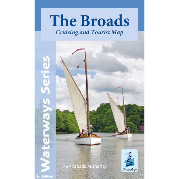
The Broads Heron Map
This Heron waterways map covers The Broads providing detailed information for both waterways and leisure users. The map is complimented by information panels and photographs. This...
Regular price £6.50 GBPSale price £6.50 GBP Regular priceUnit price perSale Sold out -
Sports & Hobbies
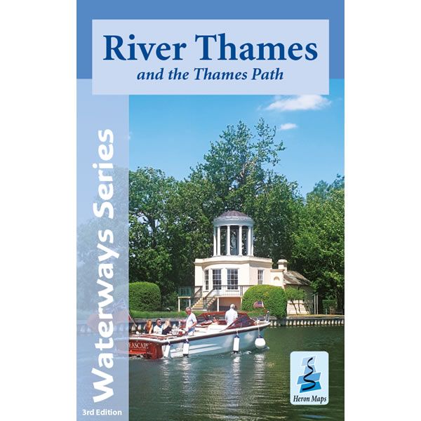
River Thames and the Thames Path Heron Map
This Heron waterways map covers the River Thames from its source, just outside Kemble in Gloucestershire, to the Thames Barrier, along with the Thames Path long...
Regular price £5.99 GBPSale price £5.99 GBP Regular priceUnit price perSale Sold out -
Sports & Hobbies
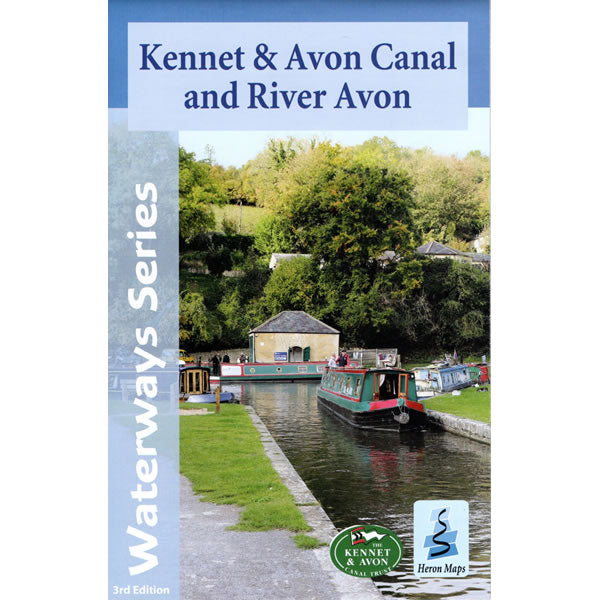
Kennet and Avon Canal, and the River Avon Heron Map
This Heron waterways map covers the Kennet and Avon Canal, plus the River Avon running from Bristol in the west to Reading and the junction with...
Regular price £5.99 GBPSale price £5.99 GBP Regular priceUnit price perSale Sold out -
Sports & Hobbies
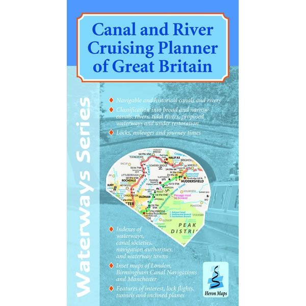
Canal and River Cruising Planner of Great Britain
This double sided Heron Cruise Planner map shows the entire inland waterways of Great Britain at a scale of 1:660,000. There are more detailed inset maps...
Regular price £5.99 GBPSale price £5.99 GBP Regular priceUnit price perSale Sold out -
Sports & Hobbies
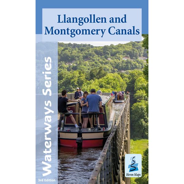
Llangollen and Montgomery Canals Heron Map
This Heron waterways map covers the Llangollen and Montgomery Canals. The map provides detailed information for both waterways and leisure users, and it is complimented by...
Regular price £5.99 GBPSale price £5.99 GBP Regular priceUnit price perSale Sold out -
Sports & Hobbies
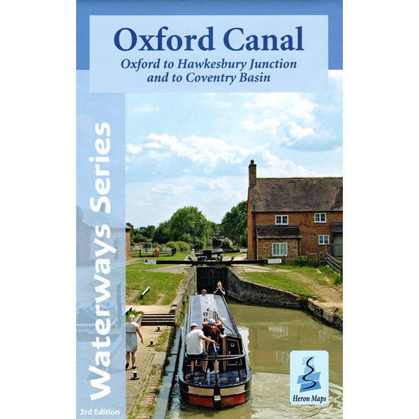
Oxford Canal Heron Map
This Heron waterways map covers the whole of the Oxford Canal, plus the Coventry Canal all the way to Coventry. The map provides detailed information for...
Regular price £6.50 GBPSale price £6.50 GBP Regular priceUnit price perSale Sold out -
Sports & Hobbies
Oxford and Grand Union Pearson Canal Companion
This canal companion describes two canals from the Midlands to Southern England, the Oxford Canal and the Grand Union Canal. The Oxford Canal features in its...
Regular price £14.95 GBPSale price £14.95 GBP Regular priceUnit price perSale Sold out -
Sports & Hobbies
Welsh Waters Pearson Canal Companion
This canal companion covers the Llangollen, Montgomery, plus the Monmouth and Brecon canals in Wales, the Shropshire Union Canal, and connecting canals in Cheshire. In total...
Regular price £14.95 GBPSale price £14.95 GBP Regular priceUnit price perSale Sold out -
Sports & Hobbies
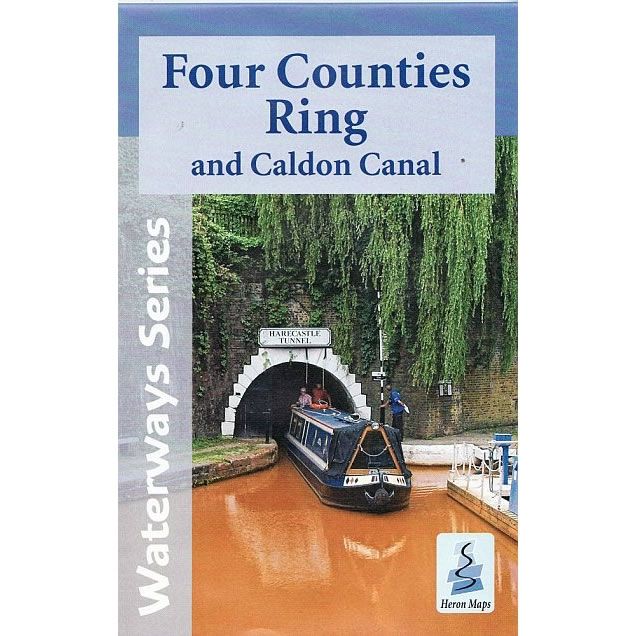
Four Counties Ring Heron Map
This Heron waterways map covers the Four Counties Ring and Caldon Canal including the Shropshire Union Canal from Beeston to Autherley Junction, parts of the Staffordshire...
Regular price £6.50 GBPSale price £6.50 GBP Regular priceUnit price perSale Sold out -
Sports & Hobbies
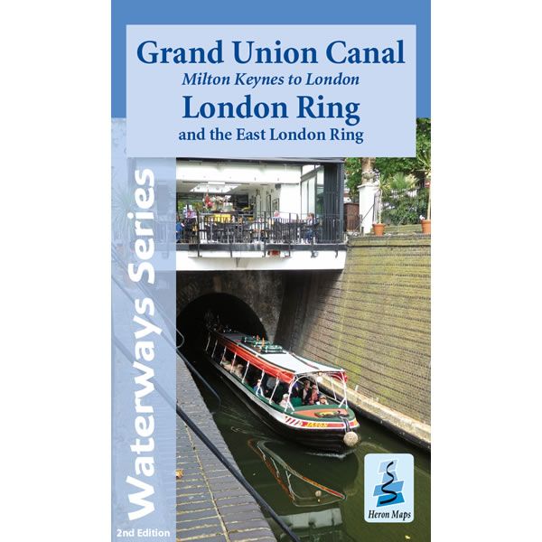
Grand Union Canal Map - Milton Keynes to London
This Heron waterways map covers part of the Grand Union Canal from Milton Keynes to London, including the London and East London Rings. The map provides...
Regular price £5.99 GBPSale price £5.99 GBP Regular priceUnit price perSale Sold out -
Sports & Hobbies
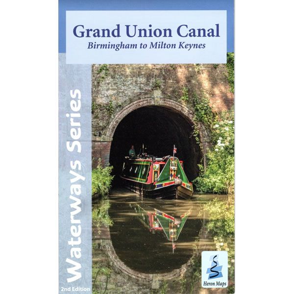
Grand Union Canal Map - Birmingham to Milton Keynes
This Heron waterways map covers the western part of the Grand Union Canal from Birmingham to Milton Keynes through Warwickshire and Northamptonshire. It also includes the...
Regular price £5.99 GBPSale price £5.99 GBP Regular priceUnit price perSale Sold out -
Sports & Hobbies
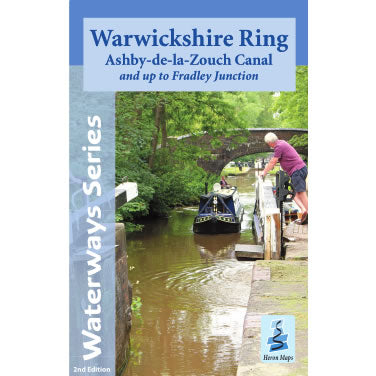
Warwickshire Ring Heron Map
This Heron waterways map covers the Warwickshire Ring and the Ashby-de-la-Zouch Canal, plus an extension to Fradley Junction, on the Trent and Mersey Canal. The map...
Regular price £6.99 GBPSale price £6.99 GBP Regular priceUnit price perSale Sold out -
Sports & Hobbies
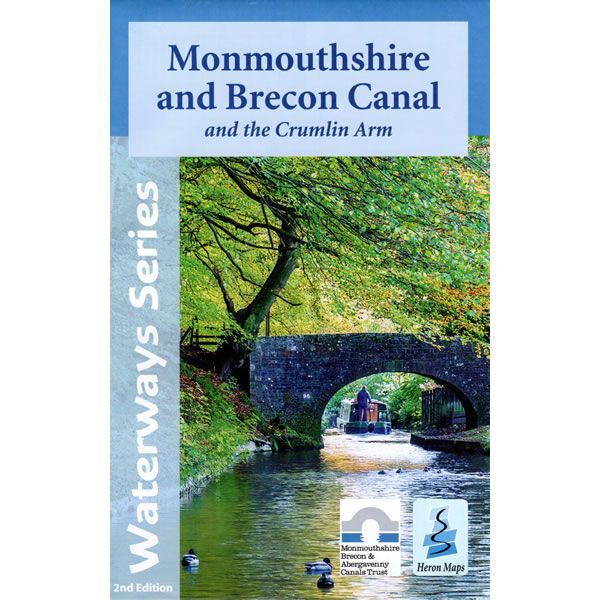
Monmouthshire and Brecon Canal Heron Map
This Heron waterways map covers the Monmouthshire and Brecon Canal, including the Crumlin branch. The map provides detailed information for both waterways and leisure users, and...
Regular price £5.99 GBPSale price £5.99 GBP Regular priceUnit price perSale Sold out -
Sports & Hobbies
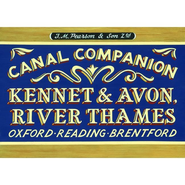
Kennet and Avon Pearson Canal Companion
This canal companion describes the Kennet and Avon Canal linking Bristol with Reading, and the River Thames between Oxford and Brentford, in London. Between them, they...
Regular price £14.95 GBPSale price £14.95 GBP Regular priceUnit price perSale Sold out -
Sports & Hobbies
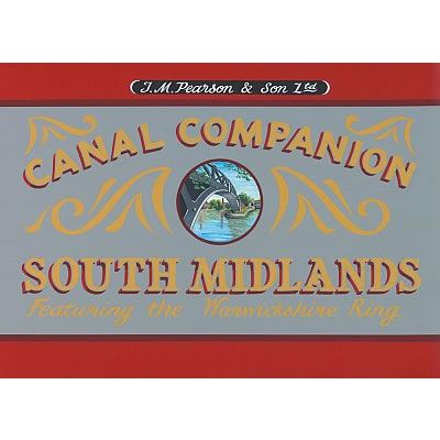
South Midlands Pearson Canal Companion
With the popular Warwickshire Ring at its heart, this South Midlands Canal Companion covers the canal network to the south and east of Birmingham. Routes covered...
Regular price £11.95 GBPSale price £11.95 GBP Regular priceUnit price perSale Sold out -
Sports & Hobbies
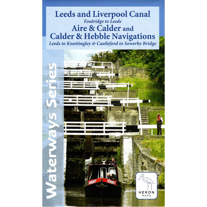
Leeds and Liverpool Canal Map - Foulridge to Leeds
This Heron waterways map covers the eastern part of the Leeds and Liverpool Canal from Foulridge to Leeds across the Pennines. Also covered are the Aire...
Regular price £7.50 GBPSale price £7.50 GBP Regular priceUnit price perSale Sold out -
Sports & Hobbies
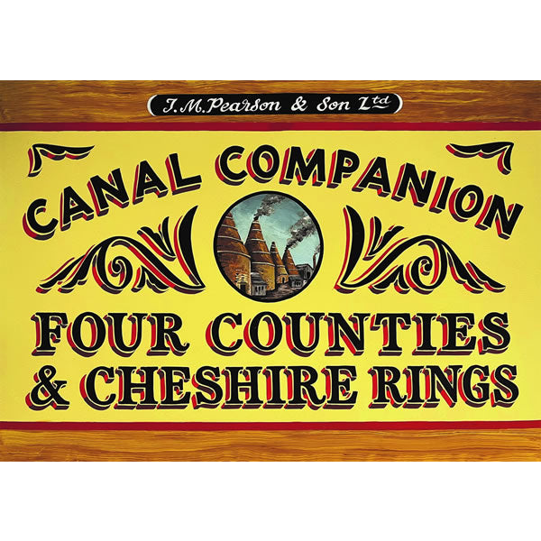
Four Counties and Cheshire Ring Pearson Canal Companion
This Pearson canal companion covers two of the most popular and long established circular canal routes, the Four Counties Ring and the Cheshire Ring. The Four...
Regular price £14.95 GBPSale price £14.95 GBP Regular priceUnit price perSale Sold out -
Sports & Hobbies
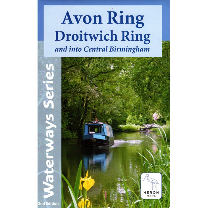
Avon Ring and Droitwich Ring Heron Map
This Heron waterways map covers the Avon and Droitwich Rings including the whole of the Worcester and Birmingham Canal into the heart of Birmingham. The map...
Regular price £7.99 GBPSale price £7.99 GBP Regular priceUnit price perSale Sold out -
Sports & Hobbies
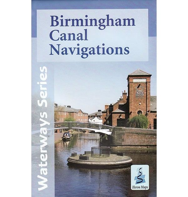
Birmingham Canal Navigations Heron Map
This Heron waterways map covers Birmingham Canal Navigations, a series of canals that meet at Birmingham, totalling around 100 miles that is reputedly, more than Venice....
Regular price £5.99 GBPSale price £5.99 GBP Regular priceUnit price perSale Sold out -
Sports & Hobbies
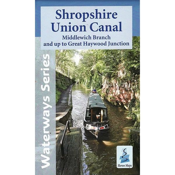
Shropshire Union Canal Heron Map
This Heron waterways map covers the Shropshire Union Canal, including the Middlewich Branch. Also included is the Staffordshire and Worcestershire canal from Autherley Junction to Great...
Regular price £5.99 GBPSale price £5.99 GBP Regular priceUnit price perSale Sold out -
Sports & Hobbies
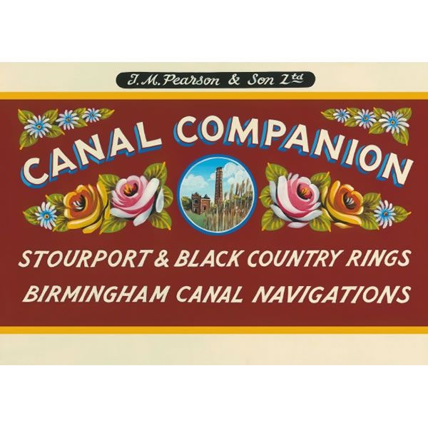
Stourport Ring Pearson Canal Companion
The Stourport Ring features the charming Staffordshire and Worcestershire Canal's southern half, the main lines of the Birmingham Canal Navigations, the Worcester and Birmingham Canal, and...
Regular price £11.95 GBPSale price £11.95 GBP Regular priceUnit price perSale Sold out -
Sports & Hobbies
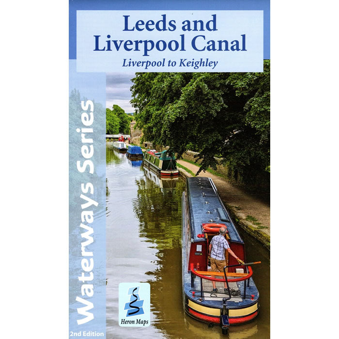
Leeds and Liverpool Canal Map - Liverpool to Keighley
This Heron waterways map covers the eastern part of the Leeds and Liverpool Canal from Liverpool to Keighley. The map provides detailed information for both waterways...
Regular price £6.50 GBPSale price £6.50 GBP Regular priceUnit price perSale Sold out -
Sports & Hobbies
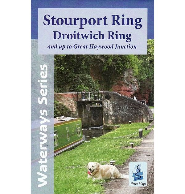
Stourport Ring and Droitwich Ring Heron Map
This Heron waterways map covers the Stourport and Droitwich Rings through the heart of the West Midlands. It also includes the whole of the Staffordshire and...
Regular price £6.50 GBPSale price £6.50 GBP Regular priceUnit price perSale Sold out -
Sports & Hobbies
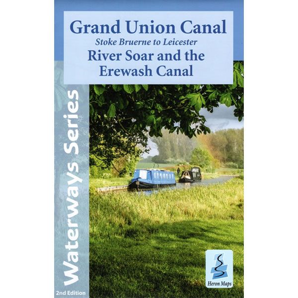
Grand Union Canal Map - Stoke Bruerne to Leicester
This Heron waterways map covers part of the Grand Union Canal from Stoke Bruerne to Leicester, and then onto Langley Mill along the River Soar and...
Regular price £6.50 GBPSale price £6.50 GBP Regular priceUnit price perSale Sold out
