1
/
of
1
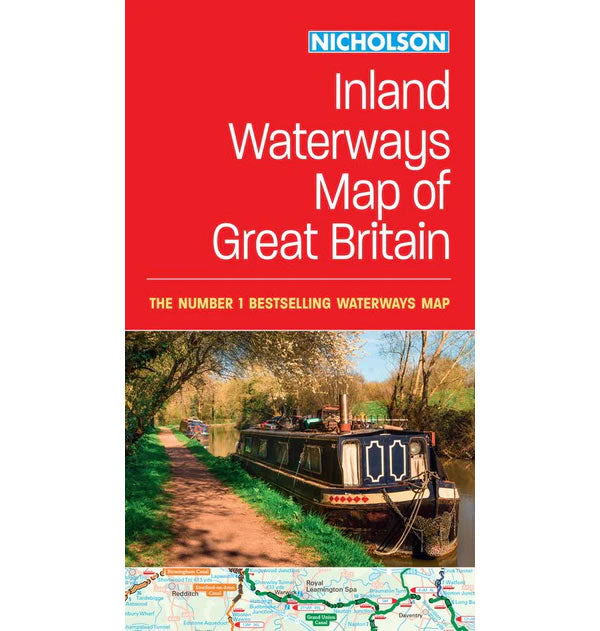
Nicholson Inland Waterways Map of Great Britain
Regular price
£8.99 GBP
Sale price
£8.99 GBP
Regular price
Unit price
/
per
Sale
Sold out
Sold out
Shipping calculated at checkout.
Couldn't load pickup availability
Description
A comprehensive cruise-planning map of Britain's inland waterways.This Nicholson Inland Waterways Map of Great Britain covers the entire network of canal and river navigations in England, Scotland and Wales, including newly restored/opened canals and rivers.
The Map identifies the following:
- Narrow and broad canals.
- Navigable rivers.
- Tidal river navigations.
- Waterways under construction.
- Contact details and dimensions for each waterway.
- Position of locks, tunnels and boat hire bases.
The map also includes clear insets of the Birmingham Canal Navigations, Scottish inland waterways, the Norfolk Broads, and the London area.

