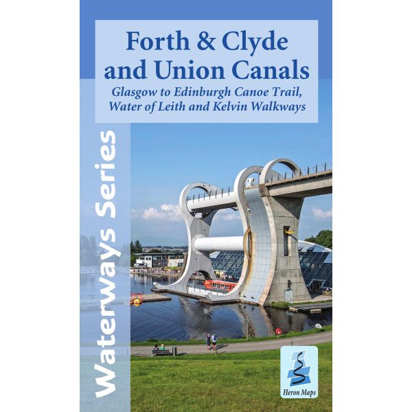
Forth & Clyde and Union Canals Heron Map
Couldn't load pickup availability
Description
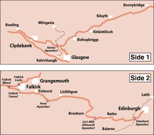
This Heron waterways map covers the Forth and Clyde canal, plus the Union Canal at a scale of 1:50,000. It also covers the Glasgow to Edinburgh Canoe Trail, the Water of Leith Walkway in Edinburgh, and the Kelvin Walkway in Glasgow. There also detailed town plans of Bowling, Glasgow, Kirkintilloch, Kilsyth and Auchinstarry, the area around the Falkirk Wheel, Falkirk, Linlithgow and Edinburgh.
The Forth and Clyde Canal links the Irish Sea with the North Sea. It runs from Bowling on the Clyde Estuary to Grangemouth and the magnificent Kelpies on the Firth of Forth, providing a unique and tranquil path through some of Scotland’s most densely populated areas.
The Union Canal runs from Falkirk, where it meets the Forth and Clyde Canal, to Edinburgh. Linking the Union Canal to the Forth and Clyde Canal is The Falkirk Wheel, the world’s only rotating boat lift. The Union Canal ends at the new Edinburgh Quay development.
This map includes navigation and historical information, visitor moorings, marinas, boatyards and boat hire centres with contact details, facilities for the boat user, sailing and boat clubs, shops, post offices and distance markers. Information for the tourist includes tourist information centres, places of interest, pubs, nature reserves, parks, churches, national cycle routes, long distance paths, public toilets and caravan and camp sites.
Published by Heron Maps in May 2022, and it is the 1st edition of this map.
Scale 1:50,000.
ISBN is 9781908851246.


