1
/
of
1
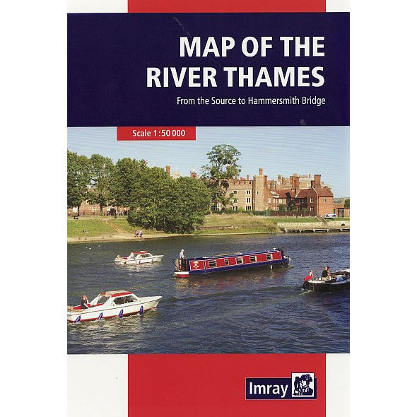
Imray Map of the River Thames
Regular price
£9.95 GBP
Sale price
£9.95 GBP
Regular price
Unit price
/
per
Sale
Sold out
Sold out
Shipping calculated at checkout.
Couldn't load pickup availability
Description
This Map of the River Thames covers the non-tidal Thames from its the source above Cricklade to the entrance of the Grand Union Canal at Brentford below Teddington Lock. The revised map has been redesigned as a folded strip map to aid navigation when travelling along the river.Full information on boating facilities is included in the map, as are all the essential details on restricting dimensions, locks and bridges. Also shown are pubs, the Thames Path and other features of special interest. Large-scale insets of Oxford, Abingdon, Reading, Henley, Windsor and Eton, the River Wey junction and the entrance to the Grand Union Canal are also included.

