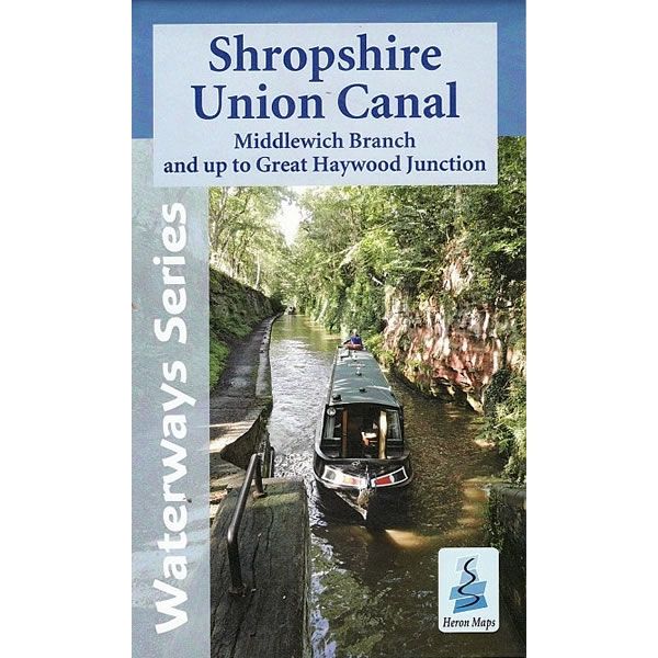
Shropshire Union Canal Heron Map
Couldn't load pickup availability
Description
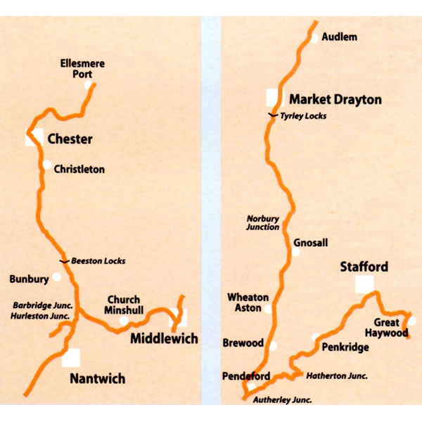
This Heron waterways map covers the Shropshire Union Canal, including the Middlewich Branch. Also included is the Staffordshire and Worcestershire canal from Autherley Junction to Great Heywood Junction on the Trent and Mersey Canal. The map provides detailed information for both waterways and leisure users, and it is complimented by information panels and photographs.
The Shropshire Union Canal runs from Wolverhampton, in the Midlands, to Ellesmere Port in the North-West. In between though, this popular waterway is charmingly rural. It was built using techniques developed for railway construction, utilising deep cuttings and high embankments, allowing for a straighter, more direct canal requiring fewer locks.
Some notable places along the way include the medieval market towns of Market Drayton and Nantwich with their half-timbered buildings. Just south of Nantwich, at Hack Green, is a former secret nuclear bunker. There are delightful villages such as Audlem, with its flight of 15 locks, and Brewood.
Not forgetting historic Chester, with its roman walls and heritage, and quirky shopping 'rows', dating back to the middle ages. Situated on the banks on the River Mersey and the Manchester Ship Canal in Ellesmere Port is the National Waterways Museum.
This cruising and tourist map of the Shropshire Union Canal and Middlewich Branch at a scale of 1:50,000. Also included are detailed town plans of Ellesmere Port, Chester, Middlewich, Nantwich, Audlem, Market Drayton and Penkridge at 1:12,500.
This map includes navigation and historical information, visitor moorings, marinas and boatyards, boat hire centres, facilities for the boat user, shops and distance markers. Information for the tourist includes tourist information centres, places of interest, pubs, nature reserves, parks, churches, long distance paths, public toilets and caravan and camp sites.
Published by Heron Maps in 2015.
Scale is 1:50,000.
ISBN is 9781908851178.


