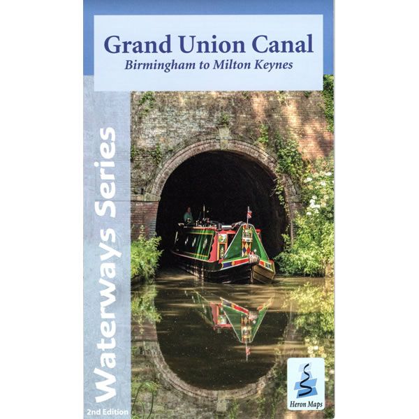
Grand Union Canal Map - Birmingham to Milton Keynes
Couldn't load pickup availability
Description
This Heron waterways map covers the western part of the Grand Union Canal from Birmingham to Milton Keynes through Warwickshire and Northamptonshire. It also includes the Northampton branch and start of the Leicester Line. The map provides detailed information for both waterways and leisure users, and it is complimented by information panels and photographs.
The Grand Union Canal starts in the very heart of Birmingham, heading out through the suburbs before turning south towards historic Warwick and the Georgian edifices of Royal Leamington Spa. It continues onwards to Braunston, Weedon Bec, Blisworth and Stoke Bruerne and its canal museum, before arriving in Milton Keynes. Much of the route through the city is hidden by the greenery of parklands.
This cruising and tourist map is at a scale of 1:50,000, with an enlarged plan of Birmingham section at a scale of 1:30,000. Also included are detailed town plans of Warwick, Braunston, Weedon Bec, and Stoke Bruerne at a scale of 1:12,500, as well as Kingswood and the Lapworth Link to the Stratford-upon-Avon Canal. An additional plan showing the heart of Birmingham at a scale of 1:10,000 is also included, as is the Grand Union Canal Walk, Britain's first national waterways walk.
The map includes navigation and historical information, visitor moorings, marinas and boatyards, boat hire centres, facilities for the boat user, shops, post offices and distance markers. Information for the tourist includes tourist information centres, places of interest, pubs, nature reserves, parks, churches, long distance paths, public toilets, plus caravan and camp sites.
Published by Heron Maps (revised 2nd edition) in November 2021.
Scale is 1:50,000.
ISBN is 9781908851369.


