-
Sports & Hobbies
Les Diablerets Walking Map 3317T
This Les Diablerets Walking Map covers the village and ski resort of Les Diablerets. It also covers the towns of Leysin and Villars-sur-Ollon, plus the Sanetsch...
Regular price £10.95 GBPSale price £10.95 GBP Regular priceUnit price perSale Sold out -
Sports & Hobbies
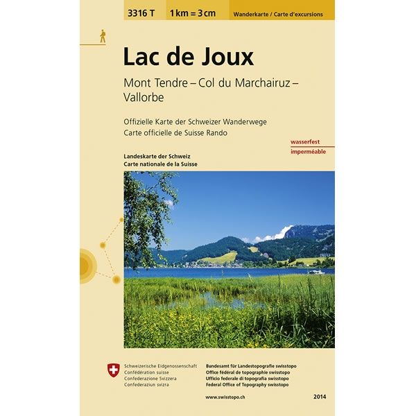
Lac de Joux Walking Map 3316T
This Lac de Joux Walking Map covers Lake Joux to the north of Lausanne, plus Mont Tendre and the high mountain pass of Col du Marchairuz...
Regular price £10.95 GBPSale price £10.95 GBP Regular priceUnit price perSale Sold out -
Sports & Hobbies
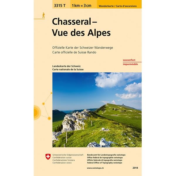
Chasseral - Vue des Alpes Walking Map 3315T
This Chasseral - Vue des Alpes Walking Map covers Chasseral a mountain in the Jura Mountains, overlooking Lake Biel near Bern, and Vue des Alpes a...
Regular price £10.95 GBPSale price £10.95 GBP Regular priceUnit price perSale Sold out -
Sports & Hobbies
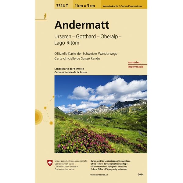
Andermatt Walking Map 3314T
This Andermatt Walking Map covers the town of Andermatt, plus the Urseren Valley, Gotthard Pass, Oberalp Pass and Lago Ritom a lake in the Piora valley.The...
Regular price £10.95 GBPSale price £10.95 GBP Regular priceUnit price perSale Sold out -
Sports & Hobbies
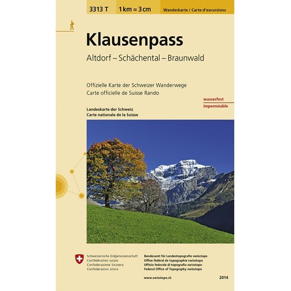
Klausenpass Walking Map 3313T
This Klausenpass Walking Map covers the Klausen Pass, a high mountain pass in the Swiss Alps connecting the towns of Altdorf and Linthal. It also covers...
Regular price £10.95 GBPSale price £10.95 GBP Regular priceUnit price perSale Sold out -
Sports & Hobbies
Hoch-Ybrig Walking Map 3312T
This Hoch-Ybrig Walking Map covers the Hoch-Ybrig area near the town of Schwyz. Hoch-Ybrig is a skiing and hiking area dominated by the mountains of Forstberg,...
Regular price £10.95 GBPSale price £10.95 GBP Regular priceUnit price perSale Sold out -
Sports & Hobbies
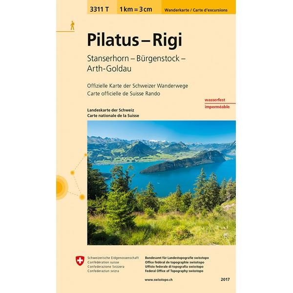
Pilatus - Rigi Walking Map 3311T
This Pilatus - Rigi Walking Map covers Mount Pilatus and Mount Rigi that overlook Lake Lucerne in Central Switzerland. It also covers the mountains of Stanserhorn...
Regular price £10.95 GBPSale price £10.95 GBP Regular priceUnit price perSale Sold out -
Sports & Hobbies
Safiental-Lenzerheide Walking Map 3310T
This Safiental-Lenzerheide Walking Map covers the Safien Valley in the midst of the Graubünden Mountains and the town of Lenzerheide to the south of Chur. Alpine...
Regular price £10.95 GBPSale price £10.95 GBP Regular priceUnit price perSale Sold out -
Sports & Hobbies
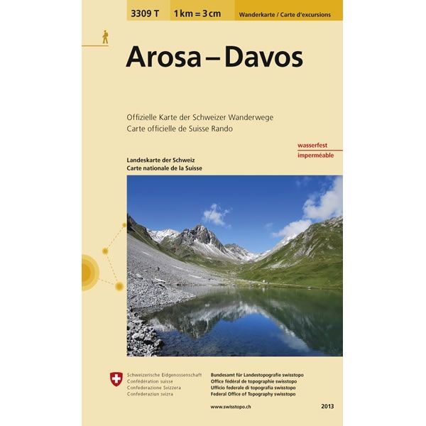
Arosa-Davos Walking Map 3309T
This Arosa-Davos Walking Map covers the towns of Arosa and Davos to the southeast of Chur. Arosa is an Alpine resort village in the Schanfigg Valley,...
Regular price £10.95 GBPSale price £10.95 GBP Regular priceUnit price perSale Sold out -
Sports & Hobbies
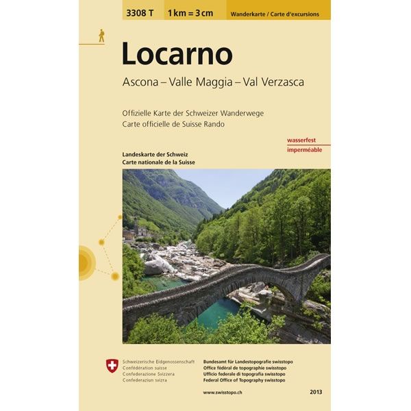
Locarno Walking Map 3308T
This Locarno Walking Map covers the city of Locarno and the town of Ascona on shore of Lake Maggiore in southern Switzerland. The map also covers...
Regular price £10.95 GBPSale price £10.95 GBP Regular priceUnit price perSale Sold out -
Sports & Hobbies
Titlis Walking Map 3307T
This Titlis Walking Map covers the Titlis Mountain (3,238m high) in the Uri Alps. Titlis is the highest summit of the range north of the Susten...
Regular price £10.95 GBPSale price £10.95 GBP Regular priceUnit price perSale Sold out -
Sports & Hobbies
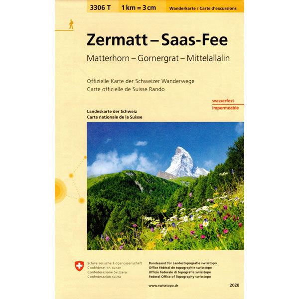
Zermatt-Saas Fee Walking Map 3306T
This Zermatt-Saas Fee Walking Map covers the towns of Zermatt and Saas Fee, including the famous Matterhorn Mountain Peak. The map also covers Gornergrat a rocky...
Regular price £10.95 GBPSale price £10.95 GBP Regular priceUnit price perSale Sold out -
Sports & Hobbies
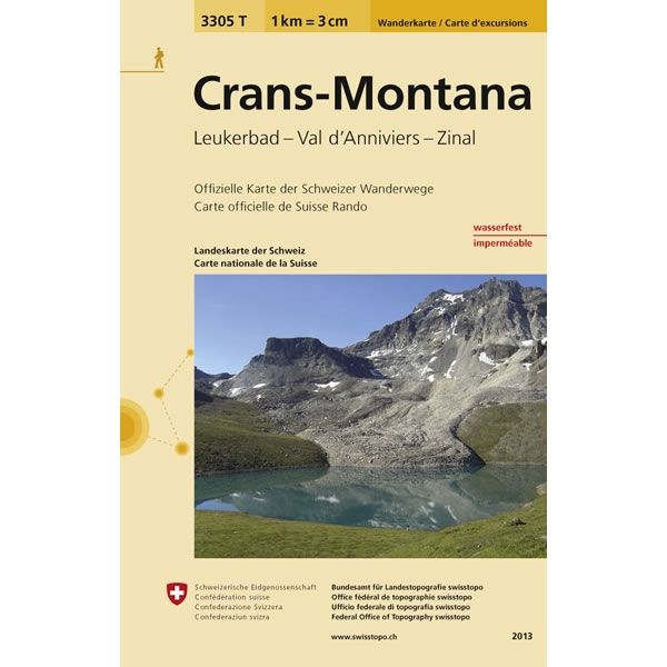
Crans-Montana Walking Map 3305T
This Crans-Montana Walking Map covers the two neighbouring resorts of Crans and Montana. Together they form one of the largest holiday destinations in the Valais Alps...
Regular price £10.95 GBPSale price £10.95 GBP Regular priceUnit price perSale Sold out -
Sports & Hobbies
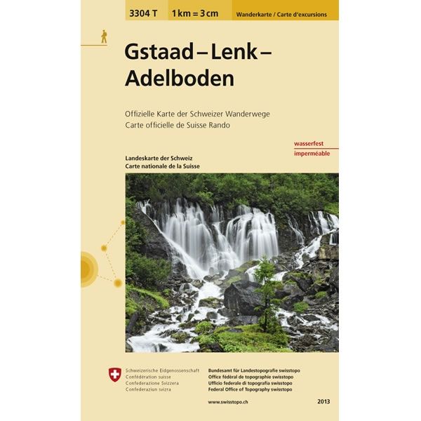
Gstaad-Lenk-Adelboden Walking Map 3304
This Gstaad-Lenk-Adelboden Walking Map covers various mountain peaks around the towns of Gstaad, Lenk, and Adelboden.The scale of this Gstaad-Lenk-Adelboden Walking Map (map number 3304T) is...
Regular price £10.95 GBPSale price £10.95 GBP Regular priceUnit price perSale Sold out -
Sports & Hobbies
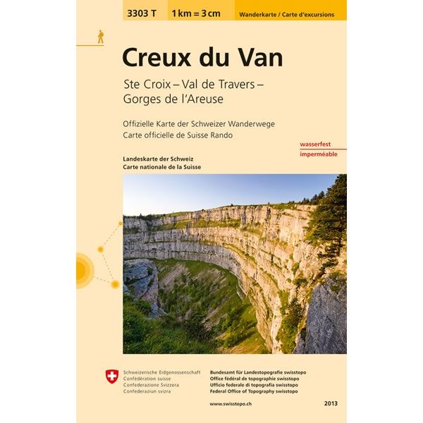
Creux du Van Walking Map 3303T
This Creux du Van Walking Map covers an area to the northwest of lake Neuchatel, including Val de Travers. The map also covers the Gorges de...
Regular price £10.95 GBPSale price £10.95 GBP Regular priceUnit price perSale Sold out -
Sports & Hobbies
Château-d'Oex Walking Map 3302T
This Château-d'Oex Walking Map covers the Rochers de Naye Mountains on the eastern shore of Lake Geneva. The map also covers the towns of Montreux and...
Regular price £10.95 GBPSale price £10.95 GBP Regular priceUnit price perSale Sold out -
Sports & Hobbies
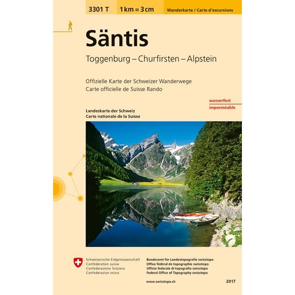
Säntis Walking Map 3301T
This Säntis Walking Map covers the mountain peak of Säntis at 2,502m high. Säntis is the highest mountain in the Alpstein massif of north-eastern Switzerland and...
Regular price £10.95 GBPSale price £10.95 GBP Regular priceUnit price perSale Sold out -
Sports & Hobbies
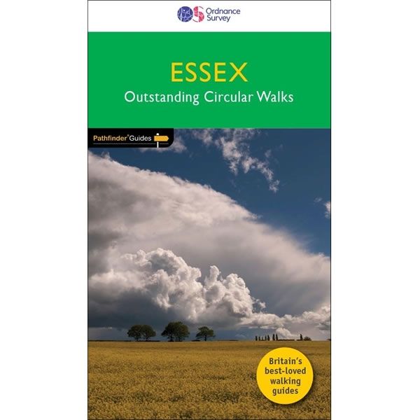
Essex Pathfinder Guidebook
This Essex Pathfinder Guidebook describes 28 circular and graded walks all around Essex, with routes of various distances, so there is something for everyone. The walking...
Regular price £12.99 GBPSale price £12.99 GBP Regular priceUnit price perSale Sold out -
Sports & Hobbies
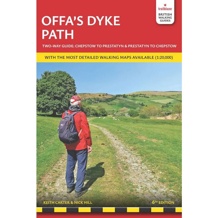
Offa's Dyke Path Trailblazer Guidebook
This Offa's Dyke Path Trailblazer Guidebook describes the the superb Offa's Dyke National Trail that runs from Prestatyn on to North Wales coast To Chepstow and...
Regular price £15.99 GBPSale price £15.99 GBP Regular priceUnit price perSale Sold out -
Sports & Hobbies
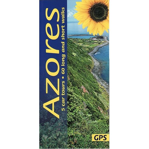
Azores car tours and walks Guidebook
This guidebook describes 60 long and short walks throughout the whole of the Azores archipelago, and 5 car tours (3 on Sao Miguel and one each...
Regular price £12.99 GBPSale price £12.99 GBP Regular priceUnit price perSale Sold out -
Sports & Hobbies
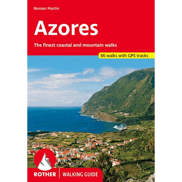
Rother Azores Walking Guidebook
This Azores guidebook by Rother describes 86 of the finest walks along the coast and in the mountains. It includes walks on all 9 of the...
Regular price £19.99 GBPSale price £19.99 GBP Regular priceUnit price perSale Sold out -
Sports & Hobbies
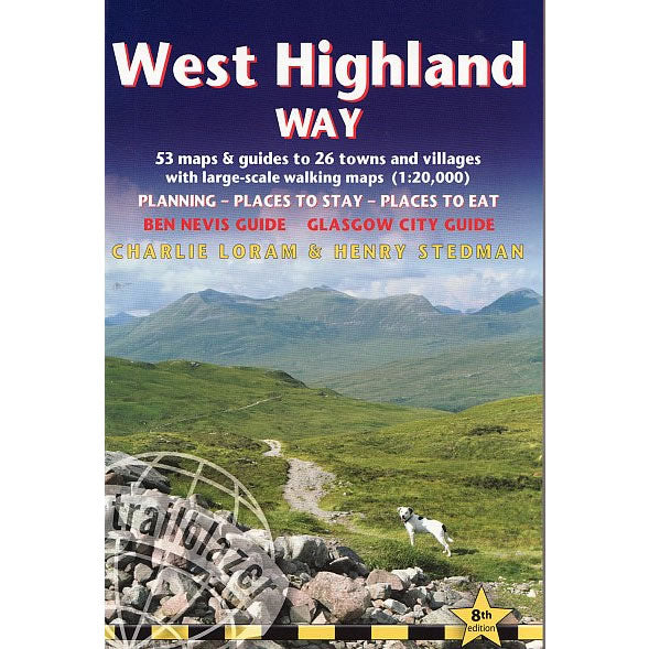
West Highland Way Trailblazer Guidebook
This Trailblazer Guidebook describes the West Highland Way from Milngavie on the outskirts of Glasgow to Fort William. Leaving Glasgow the route winds for 96 miles...
Regular price £12.99 GBPSale price £12.99 GBP Regular priceUnit price perSale Sold out -
Sports & Hobbies
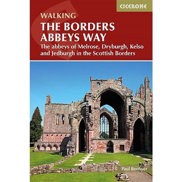
Walking The Borders Abbeys Way
This Cicerone walking guidebook describes The Borders Abbeys Way - a 68 mile circuit in the Scottish Borders, taking in 4 of Britain's grandest ruined medieval...
Regular price £14.95 GBPSale price £14.95 GBP Regular priceUnit price perSale Sold out -
Sports & Hobbies
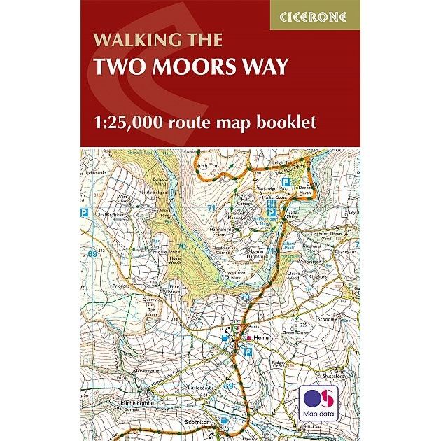
The Two Moors Way Map Booklet
This map booklet shows Devon's Coast to Coast, a 117 mile route incorporating the Two Moors Way and a section of the Erme-Plym Trail. It shows...
Regular price £7.95 GBPSale price £7.95 GBP Regular priceUnit price perSale Sold out
