Klausenpass Walking Map 3313T
Regular price
£10.95 GBP
Sale price
£10.95 GBP
Regular price
Unit price
per
Sale
Sold out
Shipping calculated at checkout.
Couldn't load pickup availability
Description
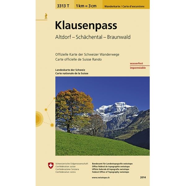
This Klausenpass Walking Map covers the Klausen Pass, a high mountain pass in the Swiss Alps connecting the towns of Altdorf and Linthal. It also covers Schächental (Schächen Valley) and the car-free resort of Braunwald.The scale of this Klausenpass Walking Map (map number 3313T) is 1:33,333. Published by Swisstopo in cooperation with the Swiss Hiking Federation this map is printed on light, waterproof and tear-resistant paper.