
-
Sports & Hobbies
2417 OT - Foret de Fontainebleau Walking Map
This walking map covers the Fontainebleau forest and includes the town of Fontainebleau in the east, Milly-la-Foret in the west, and Nemours in the south. This...
Regular price £15.80 GBPSale price £15.80 GBP Regular priceUnit price perSale Sold out -
Sports & Hobbies
3630 OT - Chamonix/Massif du Mont Blanc Walking Map
This walking map covers the Mont Blanc summit and the bulk of the Mont Blanc range. Also included are the towns of Chamonix and Argentiere, plus...
Regular price £15.80 GBPSale price £15.80 GBP Regular priceUnit price perSale Sold out -
Sports & Hobbies
3536 OT - Briancon and Serre-Chevalier Walking Map
This walking map covers the towns of Briancon, Serre-Chevalier, and Montgenèvre in the Haute Alps (also referred to as the Dauphine Alps). Published by IGN, the scale...
Regular price £15.80 GBPSale price £15.80 GBP Regular priceUnit price perSale Sold out -
Sports & Hobbies
3531 ET - St-Gervais-Les-Bains/Massif du Mont Blanc Walking Map
This walking map covers the entire Mont Blanc massif from St-Gervais-Les-Bains in the west to Courmayeur in the east.Published by IGN, the scale of this map...
Regular price £15.80 GBPSale price £15.80 GBP Regular priceUnit price perSale Sold out -
Sports & Hobbies
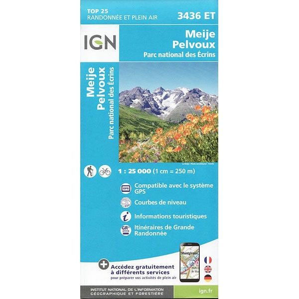
3436 ET - Meije-Pelvoux Walking Map
This walking map covers the Ecrins National Park (Parc National Des Ecrins) and includes the mountains of Le Meije, Pelvoux and the Barre des Ecrins. It...
Regular price £15.80 GBPSale price £15.80 GBP Regular priceUnit price perSale Sold out -
Sports & Hobbies
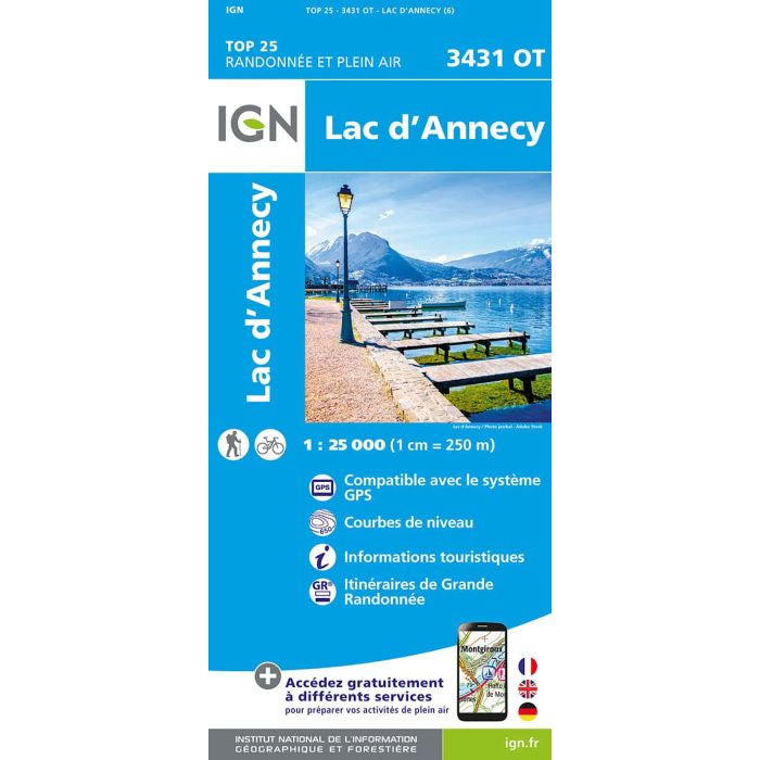
3431 OT - Lac d'Annecy Walking Map
This walking map covers the area around Lake Annecy in the French Alps.Published by IGN, the scale of this map is 1:25,000 that converts to 4cm...
Regular price £15.80 GBPSale price £15.80 GBP Regular priceUnit price perSale Sold out -
Sports & Hobbies
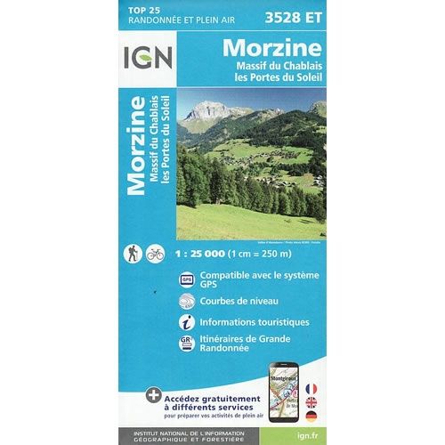
3528 ET - Morzine and Massif du Chablais Walking Map
This walking map covers an area from Morzine to the southern shores of Lake Geneva, and includes the Massif du Chablais and the town of Evian-Les-Bains.Published...
Regular price £15.80 GBPSale price £15.80 GBP Regular priceUnit price perSale Sold out -
Sports & Hobbies
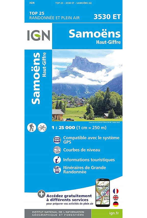
3530 ET - Samoens and Haut-Griffre Walking Map
This walking map covers the towns of Samoens and the Haut Griffre valley, plus the Aiguilles Rouge range of peaks.Published by IGN, the scale of this...
Regular price £15.80 GBPSale price £15.80 GBP Regular priceUnit price perSale Sold out -
Sports & Hobbies
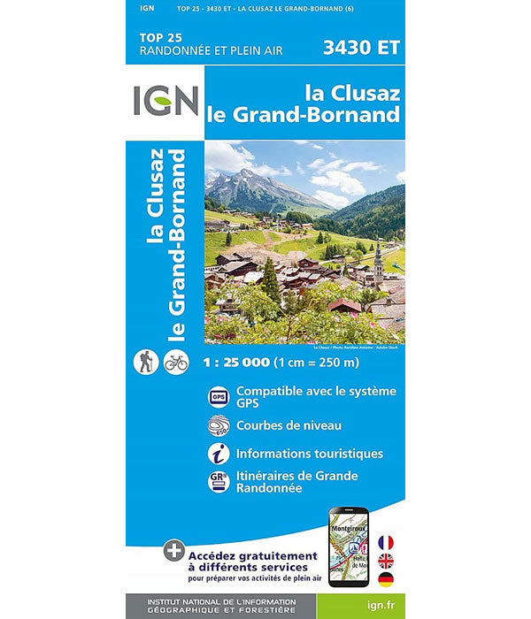
3430 ET - La Clusaz and Grand Bornand Walking Map
This walking map covers the towns of La Clusaz and Grand Bornand in the French Alps to the west of ChamonixPublished by IGN, the scale of...
Regular price £15.80 GBPSale price £15.80 GBP Regular priceUnit price perSale Sold out -
Sports & Hobbies
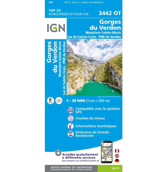
IGN 3442 OT - Gorges du Verdon Walking Map
This walking map covers the Gorges du Verdon in Provence. It also includes the town of Moustiers-Sainte-Marie and the Sainte-Croix Lake. Published by IGN, the scale...
Regular price £15.80 GBPSale price £15.80 GBP Regular priceUnit price perSale Sold out -
Sports & Hobbies
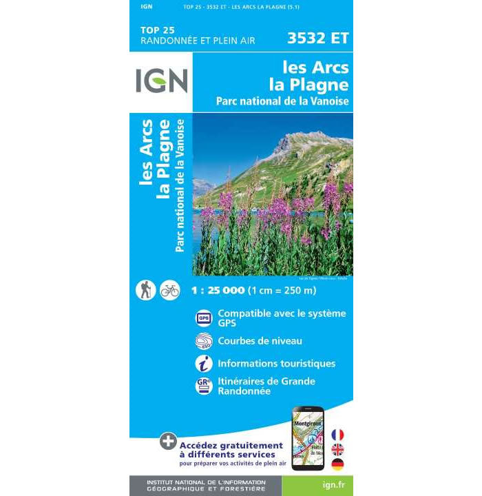
IGN 3532 ET - Les Arcs and La Plagne Walking Map
This walking map covers Les Arcs and La Plagne and part of the Parc National de la Vanoise. It also includes the town of Peisey-Nancroix and...
Regular price £15.80 GBPSale price £15.80 GBP Regular priceUnit price perSale Sold out -
Sports & Hobbies
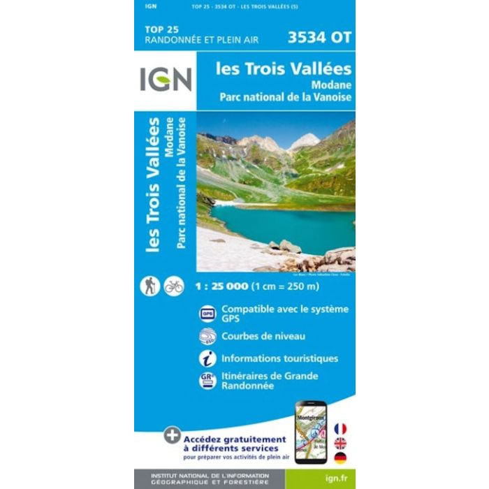
IGN 3534 OT - Les Trois Vallees and Modane Walking Map
This walking map covers Les Trois Vallées, an excellent walking and skiing area, and as far south as Modane. The map includes the towns of Courchevel,...
Regular price £15.80 GBPSale price £15.80 GBP Regular priceUnit price perSale Sold out -
Sports & Hobbies
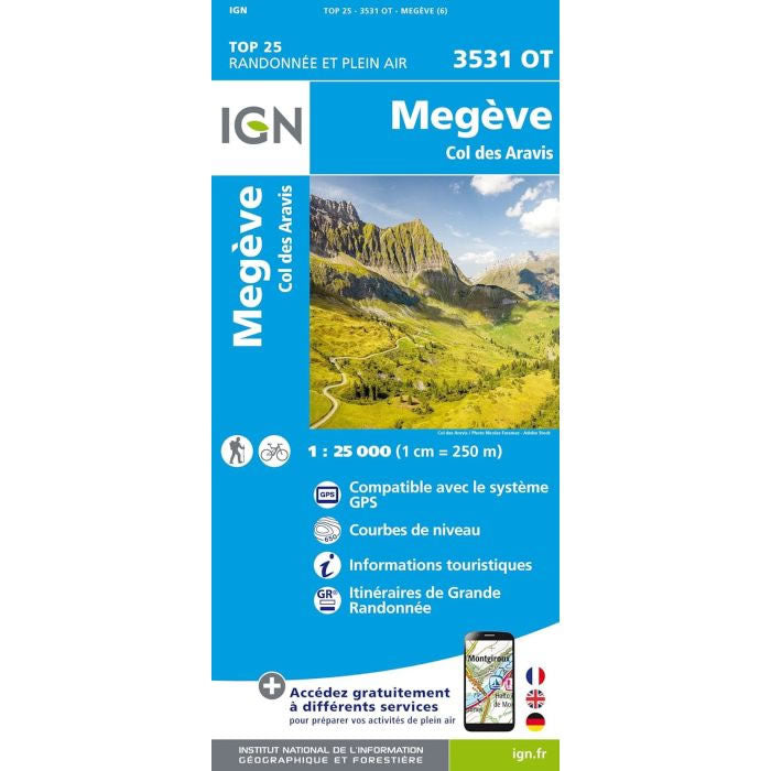
IGN 3531 OT - Megeve and Col des Aravis Walking Map
This walking map covers Megève and the Col des Aravis, and includes the towns of Ugine, Beaufort, Combloux, and Praz-sur-Arly. Published by IGN, the scale of...
Regular price £15.80 GBPSale price £15.80 GBP Regular priceUnit price perSale Sold out -
Sports & Hobbies
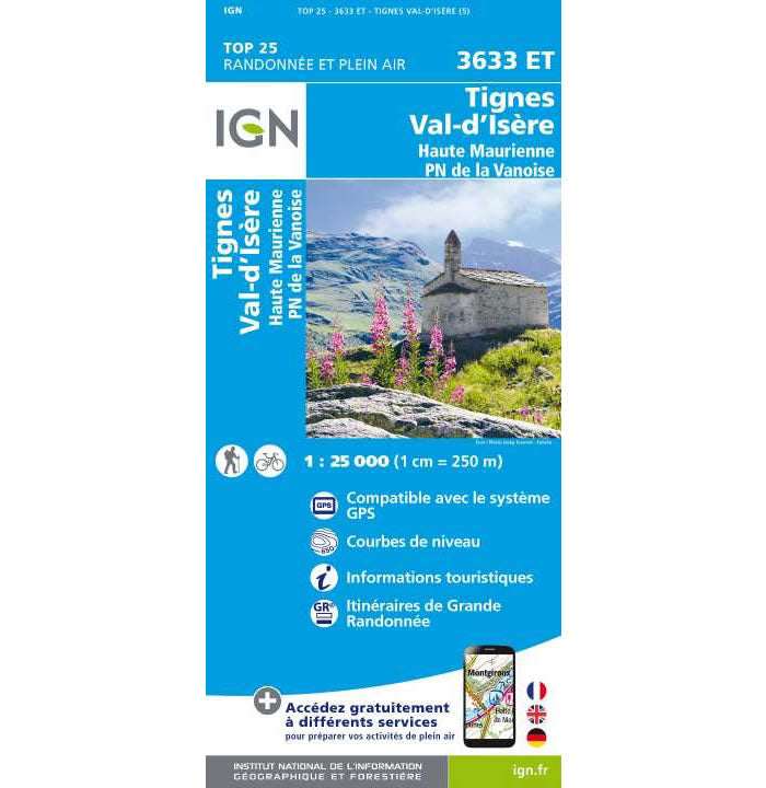
IGN 3633 ET - Tignes and Val d'Isere Walking Map
This walking map covers Tignes, Val d'Isère, and the Haute Maurienne (Maurienne Valley), plus the towns of Bonneval-sur-Arc, and Lanslebourg-Mont-Cenis. It also includes the peaks of...
Regular price £15.80 GBPSale price £15.80 GBP Regular priceUnit price perSale Sold out


