
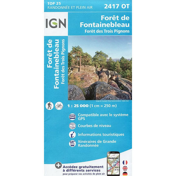
2417 OT - Foret de Fontainebleau Walking Map
Regular price
£15.80 GBP
Sale price
£15.80 GBP
Regular price
Unit price
per
Sale
Sold out
Shipping calculated at checkout.
Couldn't load pickup availability
Description
This walking map covers the Fontainebleau forest and includes the town of Fontainebleau in the east, Milly-la-Foret in the west, and Nemours in the south. This is a very popular area for walking and climbing alike.
Published by IGN, the scale of this map is 1:25,000 that converts to 4cm to 1km. The map is GPS compatible with the legend/key in French, German and English text
Map Scale is 1:25,000.
IGN map code is 2417 OT
ISBN is 9782758552147.
