-
Sports & Hobbies
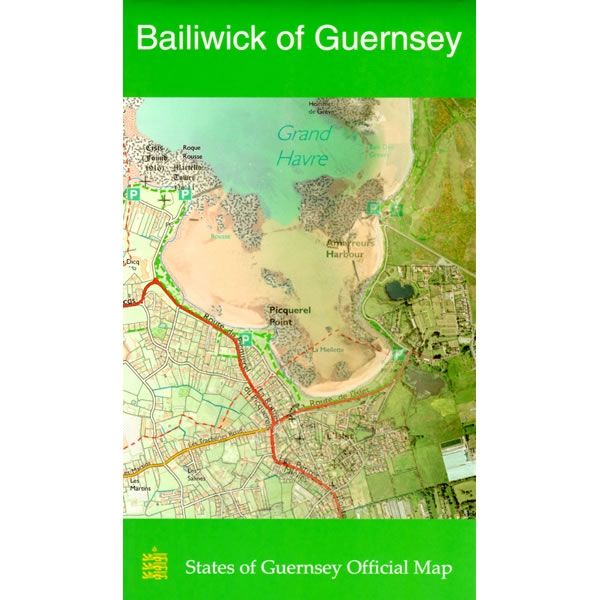
Bailiwick Of Guernsey Leisure Map
This map of Guernsey in the Channel Islands shows the whole of Guernsey at a scale of 1:15,000. On the reverse is a map of Alderney,...
Regular price £10.00 GBPSale price £10.00 GBP Regular priceUnit price perSale Sold out -
Sports & Hobbies
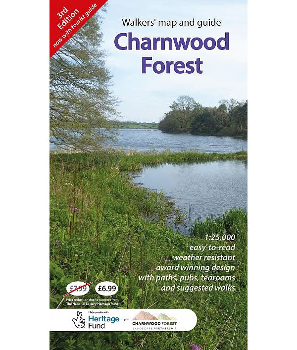
Charnwood Forest Regional Park Map
Charnwood Forest is part of the National Forest located between Leicester and Loughborough. It is a surprisingly rugged upland area makes the forest a great place...
Regular price £6.99 GBPSale price £6.99 GBP Regular priceUnit price perSale Sold out -
Sports & Hobbies
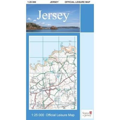
Jersey Official Leisure Map
This Jersey Official Leisure Map shows the whole of Jersey Island at a scale of 1:25,000. On the reverse is a street map of St Helier....
Regular price £10.00 GBPSale price £10.00 GBP Regular priceUnit price perSale Sold out -
Sports & Hobbies
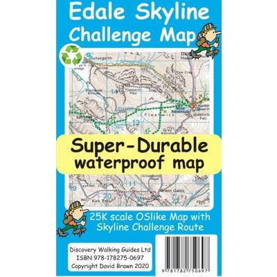
Edale Skyline Challenge Map
The Edale Skyline Challenge is a circular route that traditionally starts at the village of Edale. At Just over 20 miles long, the route includes 7...
Regular price £7.95 GBPSale price £7.95 GBP Regular priceUnit price perSale Sold out -
Sports & Hobbies
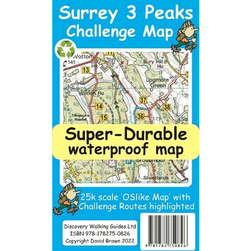
Surrey 3 Peaks Challenge Map and Guide
The Surrey 3 Peaks Challenge takes in the 3 classic Surrey hills of Box Hill, Holmbury Hill, and county-top Leith Hill to provide a circular 22...
Regular price £8.99 GBPSale price £8.99 GBP Regular priceUnit price perSale Sold out -
Sports & Hobbies
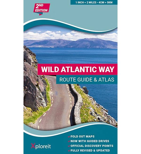
The Wild Atlantic Way Route Atlas
The Wild Atlantic Way along Ireland's west coast is 5,500km long, where land and sea collide and untamed beauty abounds. The route includes Ireland's most northerly...
Regular price £19.95 GBPSale price £19.95 GBP Regular priceUnit price perSale Sold out -
Sports & Hobbies
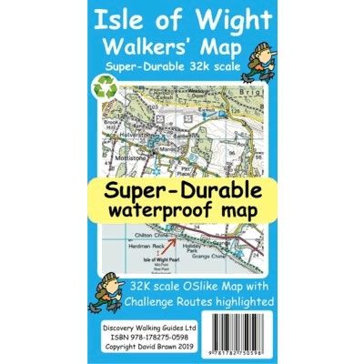
Isle of Wight Walkers' Challenge Super-Durable Map
This Isle of Wight Walkers' Challenge Super-Durable Map shows the challenge routes and walking trails on the Isle of Wight at a scale of 1:32,000. The...
Regular price £11.99 GBPSale price £11.99 GBP Regular priceUnit price perSale Sold out -
Sports & Hobbies
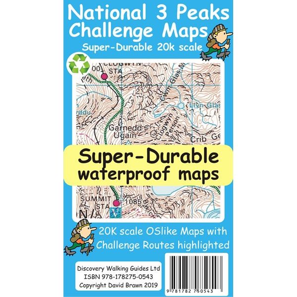
National 3 Peaks Challenge Map
This National 3 Peaks Challenge Map shows an individual map for routes up challenge peaks of Ben Nevis, Scafell Pike and Snowdon. The Ben Nevis map...
Regular price £8.99 GBPSale price £8.99 GBP Regular priceUnit price perSale Sold out -
Sports & Hobbies
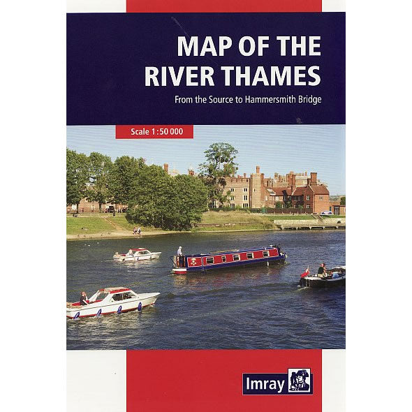
Imray Map of the River Thames
This Map of the River Thames covers the non-tidal Thames from its the source above Cricklade to the entrance of the Grand Union Canal at Brentford...
Regular price £9.95 GBPSale price £9.95 GBP Regular priceUnit price perSale Sold out -
Sports & Hobbies
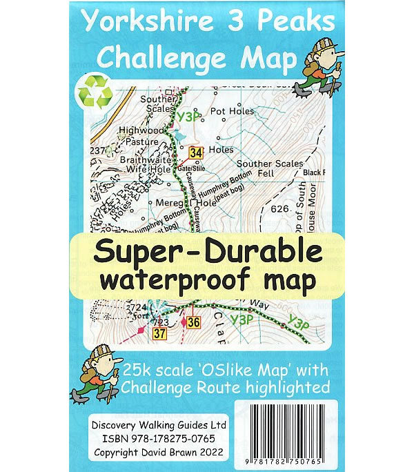
Yorkshire 3 Peaks Challenge Map
This Yorkshire 3 Peaks Challenge Map, at a scale of 1:25,000, shows the full Y3P Challenge Route of completing the 3 peaks of Pen y Ghent,...
Regular price £8.99 GBPSale price £8.99 GBP Regular priceUnit price perSale Sold out -
Sports & Hobbies
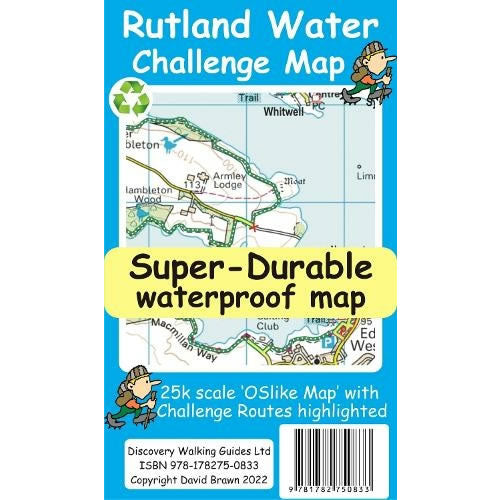
Rutland Water Challenge Map and Guide
Rutland Water is the UK's largest man-made lake set in 4,200 acres of parkland, providing a nice mixture of woodlands and open terrain to explore. The...
Regular price £8.99 GBPSale price £8.99 GBP Regular priceUnit price perSale Sold out -
Sports & Hobbies
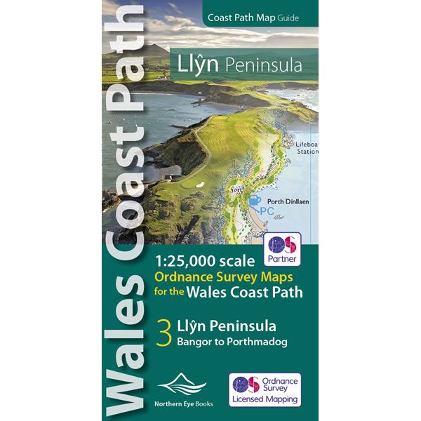
Llyn Peninsula Coast Path Map
This Llyn Peninsula Coast Path Atlas provides all the mapping you need to walk the Llyn Peninsula section of the Wales Coast Path at a scale...
Regular price £9.99 GBPSale price £9.99 GBP Regular priceUnit price perSale Sold out -
Sports & Hobbies
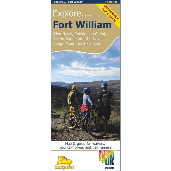
Explore Fort William Footprint Map
This Explore Fort William Footprint map and guide is aimed at walkers, mountain bikers and trail runners. The map covers Glen Nevis, Caledonian Canal, Spean Bridge,...
Regular price £9.95 GBPSale price £9.95 GBP Regular priceUnit price perSale Sold out -
Sports & Hobbies
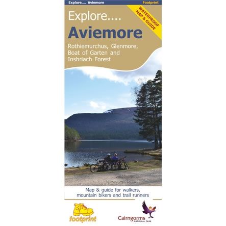
Explore Aviemore Map
This Explore Aviemore map and guide is aimed at walkers, mountain bikers and trail runners. The map covers Rothiemurchus, Glenmore, Boat of Garten, and Inshriach Forest...
Regular price £8.75 GBPSale price £8.75 GBP Regular priceUnit price perSale Sold out
