-
Sports & Hobbies
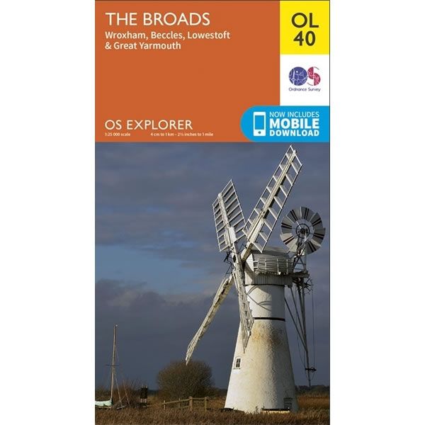
OS Explorer Map OL40 - The Broads
This OS Explorer OL40 Map covers This Norfolk Broads, including Wroxham, Beccles, Lowestoft, Great Yarmouth and part of Norwich.The scale of this OL 40 Explorer map...
Regular price £12.99 GBPSale price £12.99 GBP Regular priceUnit price perSale Sold out -
Sports & Hobbies
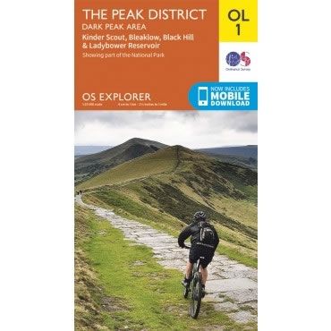
OS Explorer Map OL01 - The Peak District, Dark Peak area
This OS Explorer OL01 Map covers The Dark Peak area of the Peak District (northern half). It includes Glossop, Kinder Scout, Bleaklow, Black Hill, Ladybower Reservoir,...
Regular price £12.99 GBPSale price £12.99 GBP Regular priceUnit price perSale Sold out -
Sports & Hobbies
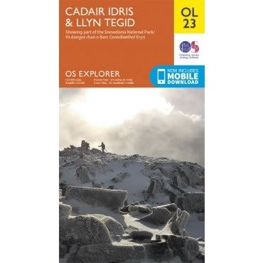
OS Explorer Map OL23 - Cadair Idris and Llyn Tegid
This OS Explorer OL23 Map covers Cadair Idris (sometimes called Cader Idris) and Llyn Tegid. This map covers part of the Snowdonia National Park with plenty...
Regular price £12.99 GBPSale price £12.99 GBP Regular priceUnit price perSale Sold out -
Sports & Hobbies
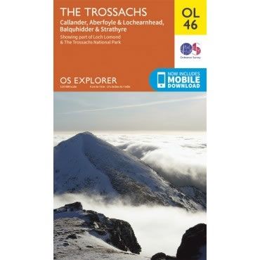
OS Explorer Map OL46 - The Trossachs
This OS Explorer OL46 Map covers the Trossachs, including Callander, Aberfoyle and Lochearnhead, plus Balquhidder and Strathyre.The map covers the north east part of the Loch...
Regular price £12.99 GBPSale price £12.99 GBP Regular priceUnit price perSale Sold out -
Sports & Hobbies
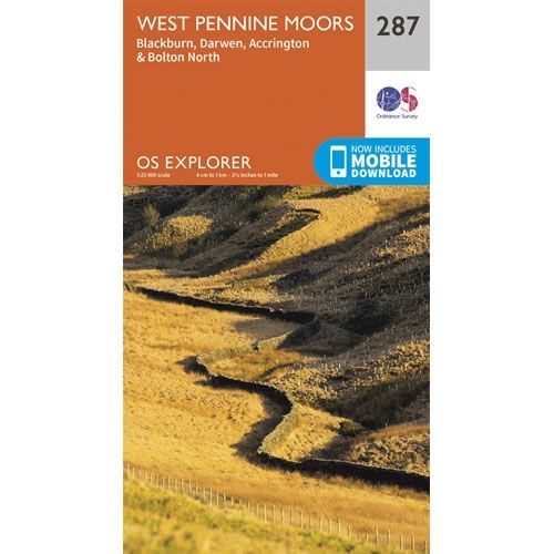
OS Explorer Map 287 - West Pennine Moors
This OS Explorer 287 Map covers Western part of the Pennine Moors, including Blackburn, Darwen, Accrington and the nothern part of Bolton.The scale of this OS287...
Regular price £12.99 GBPSale price £12.99 GBP Regular priceUnit price perSale Sold out -
Sports & Hobbies
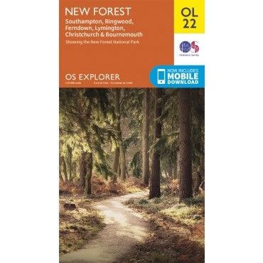
OS Explorer Map OL22 - New Forest
This OS Explorer OL22 Map covers the New Forest National Park, including Southampton, Ringwood, Ferndown, Lymington, Christchurch and Bournemouth.The scale of this OL 22 Explorer map...
Regular price £12.99 GBPSale price £12.99 GBP Regular priceUnit price perSale Sold out -
Sports & Hobbies
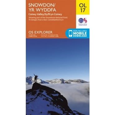
OS Explorer Map OL17 - Snowdon and Conwy Valley
This OS Explorer OL17 Map covers Snowdon and the Conwy Valley. The map shows part of the Snowdonia National Park and details 6 marked routes to...
Regular price £12.99 GBPSale price £12.99 GBP Regular priceUnit price perSale Sold out -
Sports & Hobbies
OS Explorer Map OL13 - Brecon Beacons National Park - Eastern area
This OS Explorer OL13 Map covers the eastern area of the Brecon Beacons National Park. It covers an area from Blaina in the south to Hay-on-Wye...
Regular price £12.99 GBPSale price £12.99 GBP Regular priceUnit price perSale Sold out -
Sports & Hobbies
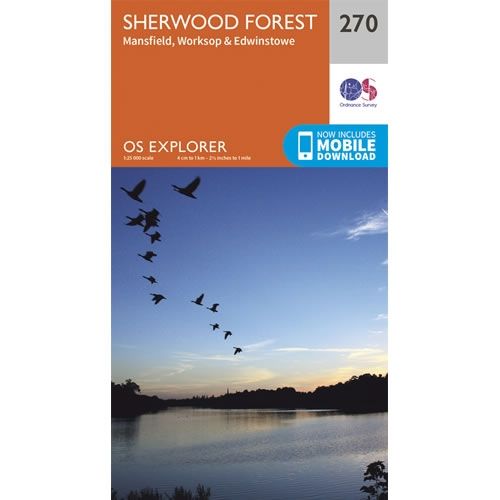
OS Explorer Map 270 - Sherwood Forest and Mansfield
This OS Explorer 270 Map covers Sherwood Forest including Mansfield, Worksop and Edwinstowe.The scale of this OS270 Explorer map is 1:25,000 where 4cm equals 1km, or...
Regular price £12.99 GBPSale price £12.99 GBP Regular priceUnit price perSale Sold out -
Sports & Hobbies
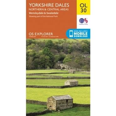
OS Explorer Map OL30 - Yorkshire Dales - Northern and Central areas
This OS Explorer OL30 Map covers the northern and central areas of the Yorkshire Dales National Park, including Wensleydale, Swaledale, Arkengarthdale, Aysgarth Falls, Hawes, and the...
Regular price £12.99 GBPSale price £12.99 GBP Regular priceUnit price perSale Sold out -
Sports & Hobbies
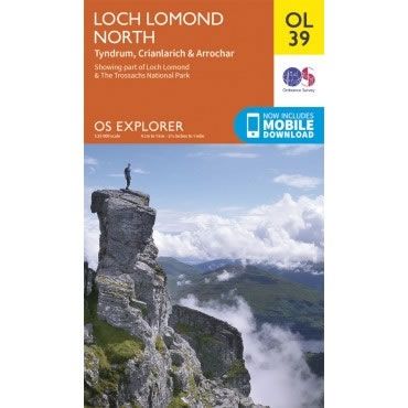
OS Explorer Map OL39 - Loch Lomond North
This OS Explorer OL39 Map covers the northern part of Loch Lomond, including Tyndrum, Ardlui, Crianlarich and Arrochar. The map shows part of the Loch Lomond...
Regular price £12.99 GBPSale price £12.99 GBP Regular priceUnit price perSale Sold out -
Sports & Hobbies
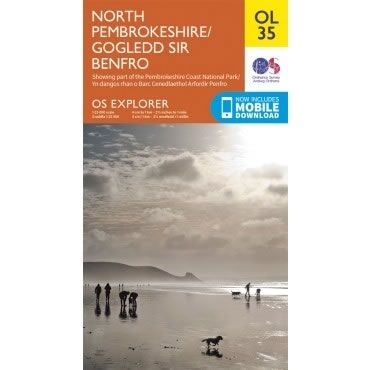
OS Explorer Map OL35 - North Pembrokeshire
This OS Explorer OL35 Map covers the northern part of Pembrokeshire. It covers the Pembrokeshire Coast National Park on the West coast of Wales, plus St...
Regular price £12.99 GBPSale price £12.99 GBP Regular priceUnit price perSale Sold out -
Sports & Hobbies
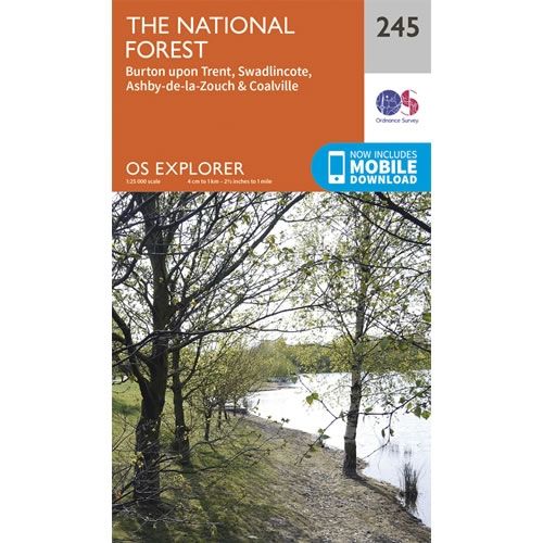
OS Explorer Map 245 - The National Forest
This OS Explorer 245 Map covers The National Forest, plus the towns of Burton upon Trent, Swadlincote, Ashby de la Zouch, and Coalville.The scale of this...
Regular price £12.99 GBPSale price £12.99 GBP Regular priceUnit price perSale Sold out -
Sports & Hobbies
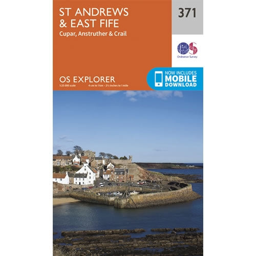
OS Explorer Map 371 - St Andrews and East Fife
This OS Explorer 371 Map covers St Andrews and East Fife, including Crail, Anstruther and Cupar.The scale of this OS371 Explorer map is 1:25,000 where 4cm...
Regular price £12.99 GBPSale price £12.99 GBP Regular priceUnit price perSale Sold out -
Sports & Hobbies
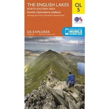
OS Explorer Map OL05 - The English Lakes - North Eastern area
This OS Explorer OL05 Map covers the north eastern area of the English Lakes. The map shows part of the English Lake District National Park, including...
Regular price £12.99 GBPSale price £12.99 GBP Regular priceUnit price perSale Sold out -
Sports & Hobbies
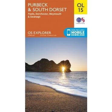
OS Explorer Map OL15 - Purbeck and South Dorset
This OS Explorer OL15 Map covers Purbeck and South Dorset, including Poole, Dorchester, Weymouth and Swanage on the Jurassic coast.The scale of this OL 15 Explorer...
Regular price £12.99 GBPSale price £12.99 GBP Regular priceUnit price perSale Sold out -
Sports & Hobbies
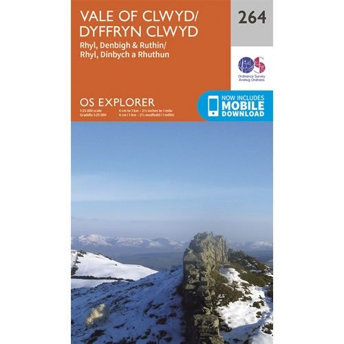
OS Explorer Map 264 - Vale of Clwyd
This OS Explorer 264 Map covers Vale of Clwyd, including Rhyl, Denbigh and Ruthin.The scale of this OS264 Explorer map is 1:25,000 where 4cm equals 1km,...
Regular price £12.99 GBPSale price £12.99 GBP Regular priceUnit price perSale Sold out -
Sports & Hobbies
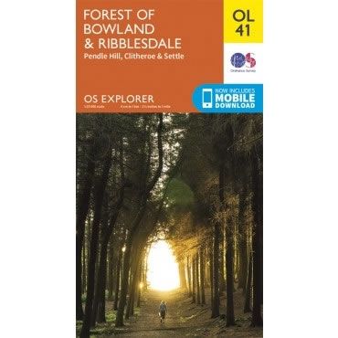
OS Explorer Map OL41 - Forest of Bowland and Ribblesdale
This OS Explorer OL41 Map covers Forest of Bowland and Ribblesdale, including Pendle Hill, Settle, Lancaster and part of Yorkshire Dales National Park near ClitheroeThe scale...
Regular price £12.99 GBPSale price £12.99 GBP Regular priceUnit price perSale Sold out -
Sports & Hobbies
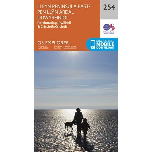
OS Explorer Map 254 - Lleyn Peninsula East
This OS Explorer 254 Map covers Lleyn Peninsula East, including Porthmadog, Criccieth and Pwllheli.The scale of this OS254 Explorer map is 1:25,000 where 4cm equals 1km,...
Regular price £12.99 GBPSale price £12.99 GBP Regular priceUnit price perSale Sold out -
Sports & Hobbies
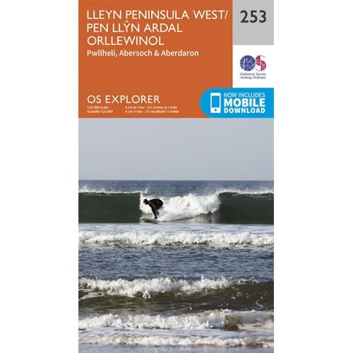
OS Explorer Map 253 - Lleyn Peninsula West
This OS Explorer 253 Map covers Lleyn Peninsula West, including Pwllheli, Abersoch and Aberdaron.The scale of this OS253 Explorer map is 1:25,000 where 4cm equals 1km,...
Regular price £12.99 GBPSale price £12.99 GBP Regular priceUnit price perSale Sold out -
Sports & Hobbies
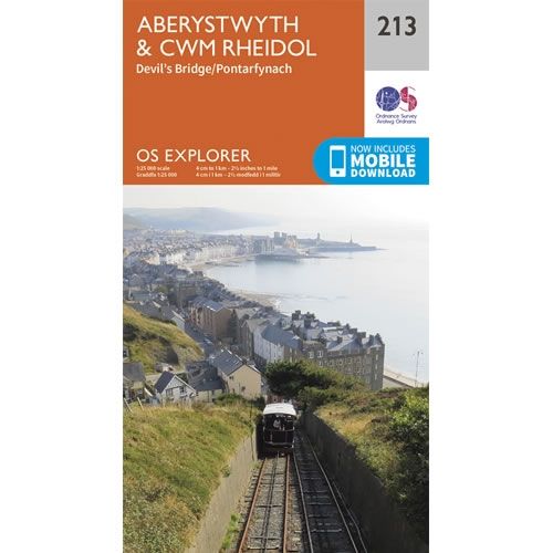
OS Explorer Map 213 - Aberystwyth and Cwm Rheidol
This OS Explorer 213 Map covers Aberystwyth, Cwm Rheidol and Devil's Bridge.The scale of this OS213 Explorer map is 1:25,000 where 4cm equals 1km, or 2.5...
Regular price £12.99 GBPSale price £12.99 GBP Regular priceUnit price perSale Sold out -
Sports & Hobbies
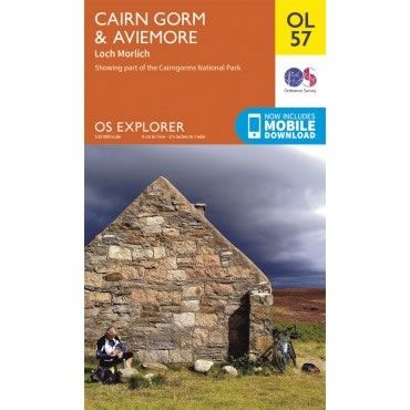
OS Explorer Map OL57 - Cairn Gorm and Aviemore
This OS Explorer OL57 Map covers Cairn Gorm, Aviemore, and Loch Morlich in the Cairngorms National Park.The scale of this OL 57 Explorer map is 1:25,000...
Regular price £12.99 GBPSale price £12.99 GBP Regular priceUnit price perSale Sold out -
Sports & Hobbies
OS Explorer Map 145 - Guildford and Farnham
This OS Explorer 145 Map covers Guildford and Farnham, including Aldershot, Fleet, Woking, Godalming and Farnborough.The scale of this OS145 Explorer map is 1:25,000 where 4cm...
Regular price £12.99 GBPSale price £12.99 GBP Regular priceUnit price perSale Sold out -
Sports & Hobbies
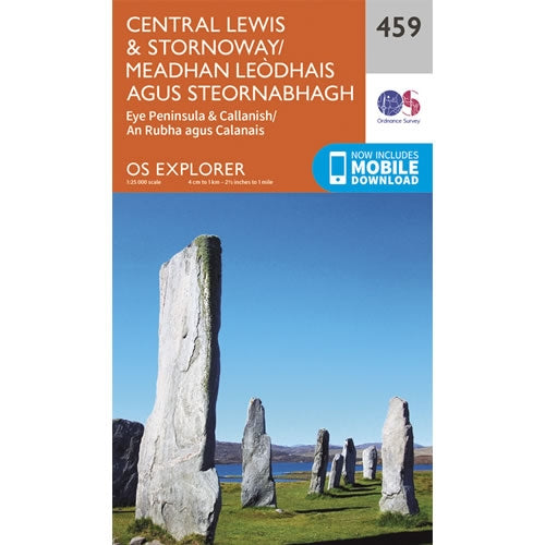
OS Explorer Map 459 - Central Lewis and Stornoway
This OS Explorer 459 Map covers Central Lewis and Stornoway, including Eye Peninsula and Callanish.The scale of this OS459 Explorer map is 1:25,000 where 4cm equals...
Regular price £12.99 GBPSale price £12.99 GBP Regular priceUnit price perSale Sold out
