-
Sports & Hobbies
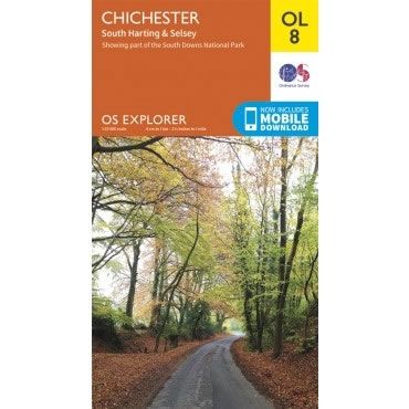
OS Explorer Map OL08 - Chichester, South Harting and Selsey
This OS Explorer OL08 Map covers Chichester including South Harting, Selsey, Emsworth, Havant, Horndean, Midhurst and Wittering. The map shows part of the South Downs National...
Regular price £12.99 GBPSale price £12.99 GBP Regular priceUnit price perSale Sold out -
Sports & Hobbies
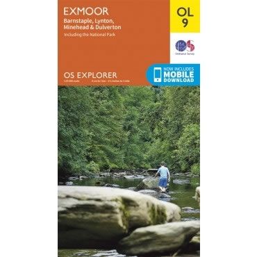
OS Explorer Map OL09 - Exmoor
This OS Explorer OL09 Map covers Exmoor, including Barnstaple, Lynton, Minehead and Dulverton. Exmoor National Park has over 1,000km of footpaths and bridleways, meandering through woodlands,...
Regular price £12.99 GBPSale price £12.99 GBP Regular priceUnit price perSale Sold out -
Sports & Hobbies
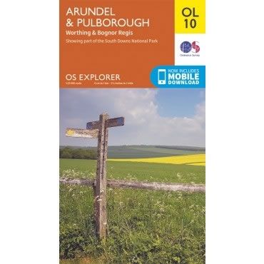
OS Explorer Map OL10 - Arundel and Pulborough
This OS Explorer OL10 Map covers Arundel and Pulborough, including Worthing and Bognor Regis. The map covers part of the South Downs National Park, the coastline...
Regular price £12.99 GBPSale price £12.99 GBP Regular priceUnit price perSale Sold out -
Sports & Hobbies
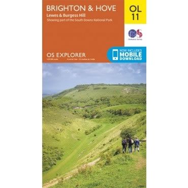
OS Explorer Map OL11 - Brighton and Hove
This OS Explorer OL11 Map covers Brighton and Hove, including Lewes and Burgess Hill. The map covers part of the South Downs National Park, plus Portslade,...
Regular price £12.99 GBPSale price £12.99 GBP Regular priceUnit price perSale Sold out -
Sports & Hobbies
OS Explorer Map OL12 - Brecon Beacons National Park - Western and Central areas
This OS Explorer OL12 Map covers the western and central areas of the Brecon Beacons National Park. The map also covers The Beacons Reservoir, Brecon, Fan...
Regular price £12.99 GBPSale price £12.99 GBP Regular priceUnit price perSale Sold out -
Sports & Hobbies
OS Explorer Map OL13 - Brecon Beacons National Park - Eastern area
This OS Explorer OL13 Map covers the eastern area of the Brecon Beacons National Park. It covers an area from Blaina in the south to Hay-on-Wye...
Regular price £12.99 GBPSale price £12.99 GBP Regular priceUnit price perSale Sold out -
Sports & Hobbies
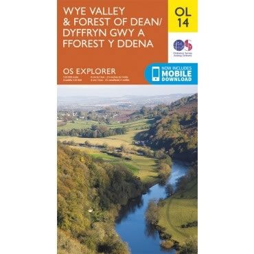
OS Explorer Map OL14 - Wye Valley and Forest of Dean
This OS Explorer OL14 Map covers Wye Valley and Forest of Dean, including Monmouth, Ross-on-Wye, Chepstow, the Forest of Dean and the Wye Valley. Also included...
Regular price £12.99 GBPSale price £12.99 GBP Regular priceUnit price perSale Sold out -
Sports & Hobbies
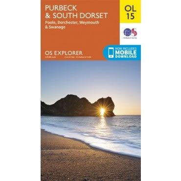
OS Explorer Map OL15 - Purbeck and South Dorset
This OS Explorer OL15 Map covers Purbeck and South Dorset, including Poole, Dorchester, Weymouth and Swanage on the Jurassic coast.The scale of this OL 15 Explorer...
Regular price £12.99 GBPSale price £12.99 GBP Regular priceUnit price perSale Sold out -
Sports & Hobbies
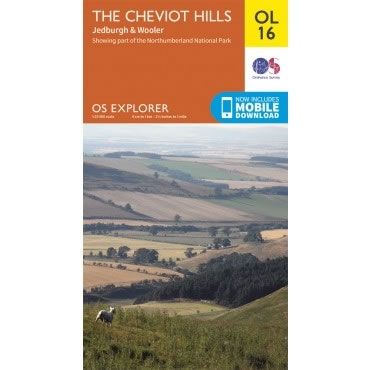
OS Explorer Map OL16 - The Cheviot Hills, Jedburgh and Wooler
This OS Explorer OL16 Map covers the Cheviot Hills, Jedburgh, Wooler, Alwinton, and Harbottle in the Northumberland National Park. The map also includes the Catscleugh Reservoir,...
Regular price £12.99 GBPSale price £12.99 GBP Regular priceUnit price perSale Sold out -
Sports & Hobbies
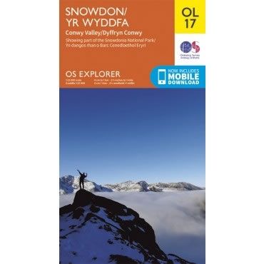
OS Explorer Map OL17 - Snowdon and Conwy Valley
This OS Explorer OL17 Map covers Snowdon and the Conwy Valley. The map shows part of the Snowdonia National Park and details 6 marked routes to...
Regular price £12.99 GBPSale price £12.99 GBP Regular priceUnit price perSale Sold out -
Sports & Hobbies
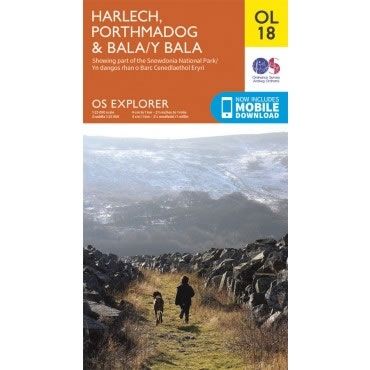
OS Explorer Map OL18 - Harlech, Porthmadog and Bala
This OS Explorer OL18 Map covers Harlech, Porthmadog and Bala. The map shows part of the Snowdonia National Park and includes Llyn Tegid, The Precipice Walk,...
Regular price £12.99 GBPSale price £12.99 GBP Regular priceUnit price perSale Sold out -
Sports & Hobbies
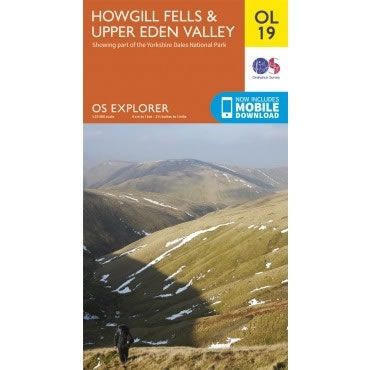
OS Explorer Map OL19 - Howgill Fells and Upper Eden Valley
This OS Explorer OL19 Map covers Howgill Fells and Upper Eden Valley. The map shows part of the Yorkshire Dales National park, and includes Appleby-in-Westmorland, Sedbergh,...
Regular price £12.99 GBPSale price £12.99 GBP Regular priceUnit price perSale Sold out -
Sports & Hobbies
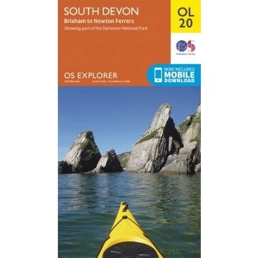
OS Explorer Map OL20 - South Devon, from Brixham to Newton Ferrers
This OS Explorer OL20 Map covers South Devon, from Brixham to Newton Ferrers.The map covers the southern part of Dartmoor National Park and the southern region...
Regular price £12.99 GBPSale price £12.99 GBP Regular priceUnit price perSale Sold out -
Sports & Hobbies
OS Explorer Map OL21 - South Pennines
This OS Explorer OL21 Map covers the South Pennines, including Burnley, Hebden Bridge, Keighley and Todmorden. This area is criss-crossed by footpaths, including the Pennine Way...
Regular price £12.99 GBPSale price £12.99 GBP Regular priceUnit price perSale Sold out -
Sports & Hobbies
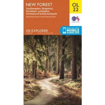
OS Explorer Map OL22 - New Forest
This OS Explorer OL22 Map covers the New Forest National Park, including Southampton, Ringwood, Ferndown, Lymington, Christchurch and Bournemouth.The scale of this OL 22 Explorer map...
Regular price £12.99 GBPSale price £12.99 GBP Regular priceUnit price perSale Sold out -
Sports & Hobbies
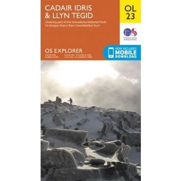
OS Explorer Map OL23 - Cadair Idris and Llyn Tegid
This OS Explorer OL23 Map covers Cadair Idris (sometimes called Cader Idris) and Llyn Tegid. This map covers part of the Snowdonia National Park with plenty...
Regular price £12.99 GBPSale price £12.99 GBP Regular priceUnit price perSale Sold out -
Sports & Hobbies
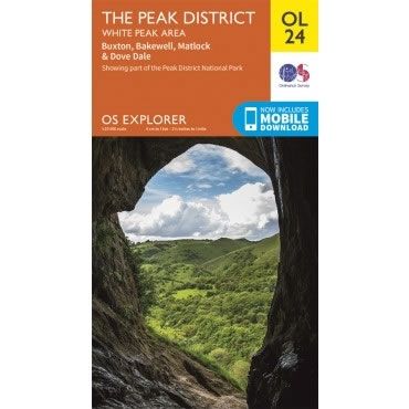
OS Explorer Map OL24 - The Peak District, White Peak Area
This OS Explorer OL24 Map covers the While Peak area of the Peak District (southern half), including Buxton, Bakewell, Matlock, Dove Dale, High Peak Trail, and...
Regular price £12.99 GBPSale price £12.99 GBP Regular priceUnit price perSale Sold out -
Sports & Hobbies
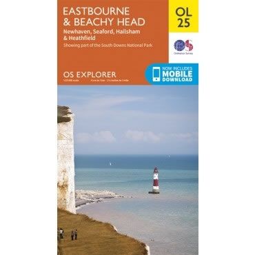
OS Explorer Map OL25 - Eastbourne and Beachy Head
This OS Explorer OL25 Map covers Eastbourne and Beachy Head, including Newhaven, Seaford, Hailsham, Uckfield and Heathfield.This map shows part of the South Downs National Park,...
Regular price £12.99 GBPSale price £12.99 GBP Regular priceUnit price perSale Sold out -
Sports & Hobbies
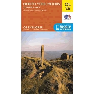
OS Explorer Map OL26 - North York Moors - Western area
This OS Explorer OL26 Map covers the western part of the North York Moors. Also covered are the Cleveland Hills, and a small section of the...
Regular price £12.99 GBPSale price £12.99 GBP Regular priceUnit price perSale Sold out -
Sports & Hobbies
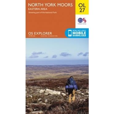
OS Explorer Map OL27 - North York Moors - Eastern area
This OS Explorer OL27 Map covers the eastern part of the North York Moors, including the Cleveland Hills and The Hambleton Hills.The scale of this OL...
Regular price £12.99 GBPSale price £12.99 GBP Regular priceUnit price perSale Sold out -
Sports & Hobbies
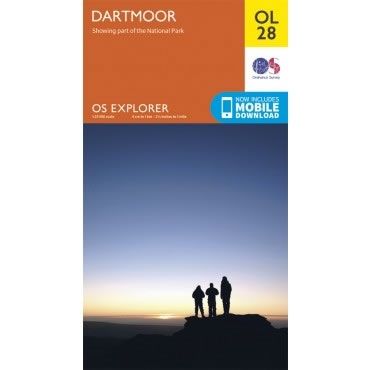
OS Explorer Map OL28 - Dartmoor
This OS Explorer OL28 Map covers Dartmoor National Park including Princetown, Buckfastleigh, The River Plym, and The Tarka Trail. Dartmoor National Park is the largest area...
Regular price £12.99 GBPSale price £12.99 GBP Regular priceUnit price perSale Sold out -
Sports & Hobbies
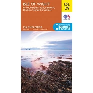
OS Explorer Map OL29 - Isle of Wight
This OS Explorer OL29 Map covers the Isle of Wight, including Cowes, Newport, Ryde, Sandown, Shanklin, Yarmouth and Ventnor The scale of this OL 29 Explorer...
Regular price £12.99 GBPSale price £12.99 GBP Regular priceUnit price perSale Sold out -
Sports & Hobbies
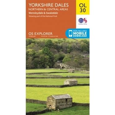
OS Explorer Map OL30 - Yorkshire Dales - Northern and Central areas
This OS Explorer OL30 Map covers the northern and central areas of the Yorkshire Dales National Park, including Wensleydale, Swaledale, Arkengarthdale, Aysgarth Falls, Hawes, and the...
Regular price £12.99 GBPSale price £12.99 GBP Regular priceUnit price perSale Sold out -
Sports & Hobbies
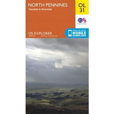
OS Explorer Map OL31 - North Pennines, Teesdale and Weardale
This OS Explorer OL31 Map covers the North Pennines, including Teesdale and Weardale. It also covers Barnard Castle, Alton, and Allenheads, Hamsterley Forest, Middleton Common, Milburn...
Regular price £12.99 GBPSale price £12.99 GBP Regular priceUnit price perSale Sold out
