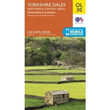
OS Explorer Map OL30 - Yorkshire Dales - Northern and Central areas
Regular price
£12.99 GBP
Sale price
£12.99 GBP
Regular price
Unit price
per
Sale
Sold out
Shipping calculated at checkout.
Couldn't load pickup availability
Description
This OS Explorer OL30 Map covers the northern and central areas of the Yorkshire Dales National Park, including Wensleydale, Swaledale, Arkengarthdale, Aysgarth Falls, Hawes, and the River Wharfe.The scale of this OL 30 Explorer map is 1:25,000 where 4cm equals 1km, or 2.5 inches equals 1 mile.
With this map you will receive a code for a free mobile download onto your smartphone or tablet (iOS or Android).