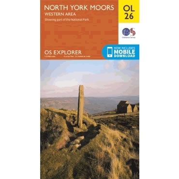
OS Explorer Map OL26 - North York Moors - Western area
Regular price
£12.99 GBP
Sale price
£12.99 GBP
Regular price
Unit price
per
Sale
Sold out
Shipping calculated at checkout.
Couldn't load pickup availability
Description
This OS Explorer OL26 Map covers the western part of the North York Moors. Also covered are the Cleveland Hills, and a small section of the Howardian Hills, plus Saltburn-by-the-Sea, Guisborough, Helmsley, and Roseberry Topping.The scale of this OL 26 Explorer map is 1:25,000 where 4cm equals 1km, or 2.5 inches equals 1 mile.
With this map you will receive a code for a free mobile download onto your smartphone or tablet (iOS or Android).