
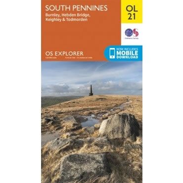
OS Explorer Map OL21 - South Pennines
Regular price
£12.99 GBP
Sale price
£12.99 GBP
Regular price
Unit price
per
Sale
Sold out
Shipping calculated at checkout.
Couldn't load pickup availability
Description
This OS Explorer OL21 Map covers the South Pennines, including Burnley, Hebden Bridge, Keighley and Todmorden. This area is criss-crossed by footpaths, including the Pennine Way and Calderdale Way, with the highest peak being Lad Law at 517m.The scale of this OL 21 Explorer map is 1:25,000 where 4cm equals 1km, or 2.5 inches equals 1 mile.
With this map you will receive a code for a free mobile download onto your smartphone or tablet (iOS or Android).
