-
Sports & Hobbies
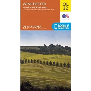
OS Explorer Map OL32 - Winchester, New Alresford and East Meon
This OS Explorer OL32 Map covers Winchester, including New Alresford and East Meon. The map shows part of the South Downs National Park, Winchester Cathedral, The...
Regular price £12.99 GBPSale price £12.99 GBP Regular priceUnit price perSale Sold out -
Sports & Hobbies
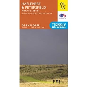
OS Explorer Map OL33 - Haslemere and Petersfield
This OS Explorer OL33 Map covers Haslemere and Petersfield, including Midhurst and Selborne. The map shows part of South Downs National Park, plus Greensand Way, Hangers...
Regular price £12.99 GBPSale price £12.99 GBP Regular priceUnit price perSale Sold out -
Sports & Hobbies
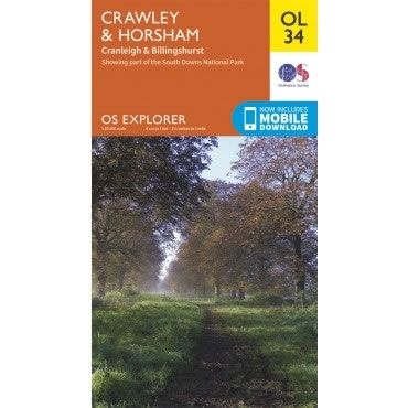
OS Explorer Map OL34 - Crawley and Horsham
This OS Explorer OL34 Map covers Crawley and Horsham, including Cranleigh and Billingshurst. The map shows part of South Downs National Park, plus the River Ouse,...
Regular price £12.99 GBPSale price £12.99 GBP Regular priceUnit price perSale Sold out -
Sports & Hobbies
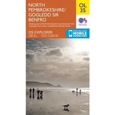
OS Explorer Map OL35 - North Pembrokeshire
This OS Explorer OL35 Map covers the northern part of Pembrokeshire. It covers the Pembrokeshire Coast National Park on the West coast of Wales, plus St...
Regular price £12.99 GBPSale price £12.99 GBP Regular priceUnit price perSale Sold out -
Sports & Hobbies
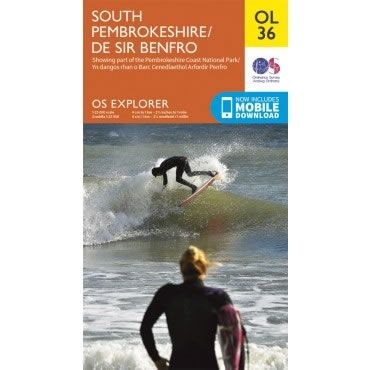
OS Explorer Map OL36 - South Pembrokeshire
This OS Explorer OL36 Map covers the southern part Pembrokeshire, including Tenby, Milford Haven, Pembroke and HaverfordwestThe scale of this OL 36 Explorer map is 1:25,000...
Regular price £12.99 GBPSale price £12.99 GBP Regular priceUnit price perSale Sold out -
Sports & Hobbies
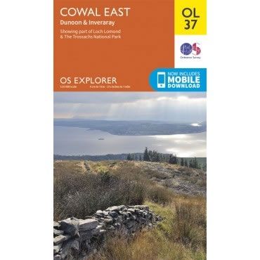
OS Explorer Map OL37 - Cowal East, Dunoon and Inveraray
This OS Explorer OL37 Map covers Cowal East, Dunoon and Inveraray. The map shows part of Loch Lomond and The Trossachs National Park, Argyll Forest Park,...
Regular price £12.99 GBPSale price £12.99 GBP Regular priceUnit price perSale Sold out -
Sports & Hobbies
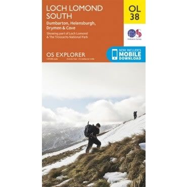
OS Explorer Map OL38 - Loch Lomond South
This OS Explorer OL38 Map covers the southern part of Loch Lomond, including Dumbarton, Helensburgh, Drymen and Cove. The map shows part of the Loch Lomond...
Regular price £12.99 GBPSale price £12.99 GBP Regular priceUnit price perSale Sold out -
Sports & Hobbies
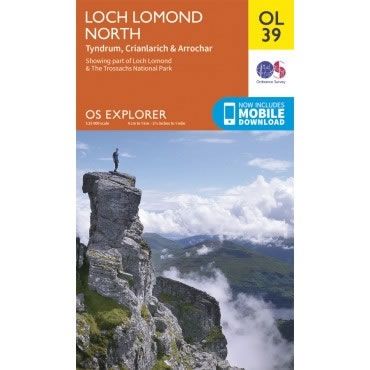
OS Explorer Map OL39 - Loch Lomond North
This OS Explorer OL39 Map covers the northern part of Loch Lomond, including Tyndrum, Ardlui, Crianlarich and Arrochar. The map shows part of the Loch Lomond...
Regular price £12.99 GBPSale price £12.99 GBP Regular priceUnit price perSale Sold out -
Sports & Hobbies
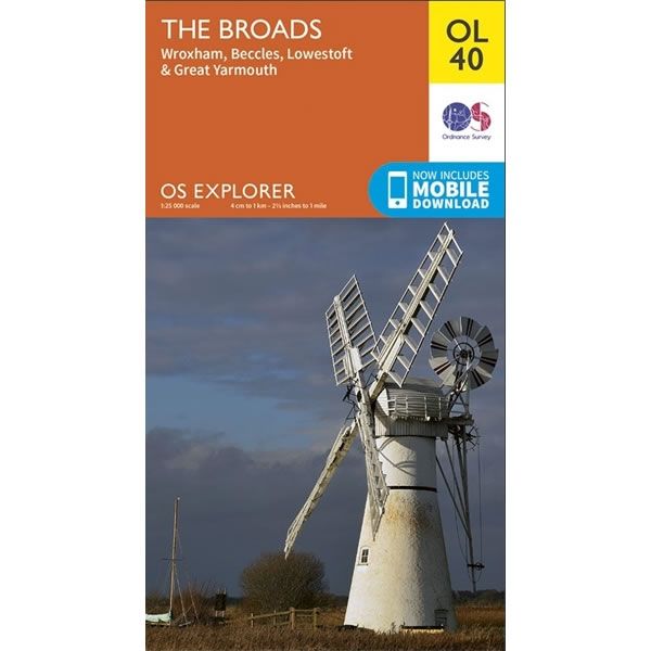
OS Explorer Map OL40 - The Broads
This OS Explorer OL40 Map covers This Norfolk Broads, including Wroxham, Beccles, Lowestoft, Great Yarmouth and part of Norwich.The scale of this OL 40 Explorer map...
Regular price £12.99 GBPSale price £12.99 GBP Regular priceUnit price perSale Sold out -
Sports & Hobbies
OS Explorer Map OL41 - Forest of Bowland and Ribblesdale
This OS Explorer OL41 Map covers Forest of Bowland and Ribblesdale, including Pendle Hill, Settle, Lancaster and part of Yorkshire Dales National Park near ClitheroeThe scale...
Regular price £12.99 GBPSale price £12.99 GBP Regular priceUnit price perSale Sold out -
Sports & Hobbies
OS Explorer Map OL42 - Kielder Water and Forest
This OS Explorer OL42 Map covers Kielder Water and Forest, including Bellingham and Simonside Hills. The map shows part of the Northumberland National Park including Bloody...
Regular price £12.99 GBPSale price £12.99 GBP Regular priceUnit price perSale Sold out -
Sports & Hobbies
OS Explorer Map OL43 - Hadrian's Wall
This OS Explorer OL43 Map covers Hadrian's Wall, including Haltwhistle and Hexham. The map shows part of the Northumberland National Park and includes Gilsland, Corbridge, Humshaugh,...
Regular price £12.99 GBPSale price £12.99 GBP Regular priceUnit price perSale Sold out -
Sports & Hobbies
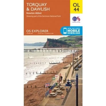
OS Explorer Map OL44 - Torquay, Dawlish and Newton Abbot
This OS Explorer OL44 Map covers Torquay, Dawlish, Teignmouth, Paignton, and Newton Abbot, along with the eastern edge of Dartmoor National Park.The scale of this OL...
Regular price £12.99 GBPSale price £12.99 GBP Regular priceUnit price perSale Sold out -
Sports & Hobbies
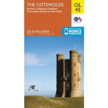
OS Explorer Map OL45 - The Cotswolds
This OS Explorer OL45 Map covers the Cotswolds, including Stow-on-the-Wold, Burford, Cirencester and Chipping Campden.The scale of this OL 45 Explorer map is 1:25,000 where 4cm...
Regular price £12.99 GBPSale price £12.99 GBP Regular priceUnit price perSale Sold out -
Sports & Hobbies
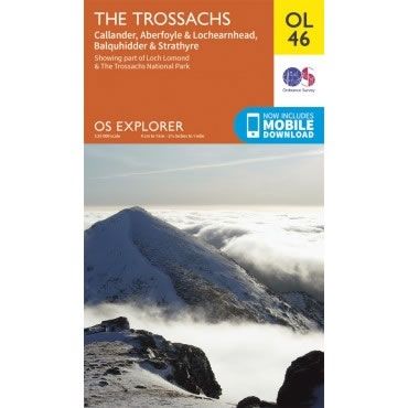
OS Explorer Map OL46 - The Trossachs
This OS Explorer OL46 Map covers the Trossachs, including Callander, Aberfoyle and Lochearnhead, plus Balquhidder and Strathyre.The map covers the north east part of the Loch...
Regular price £12.99 GBPSale price £12.99 GBP Regular priceUnit price perSale Sold out -
Sports & Hobbies
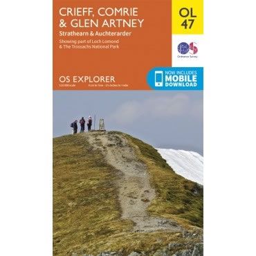
OS Explorer Map OL47 - Crieff, Comrie and Glen Artney
This OS Explorer OL47 Map covers Crieff, Comrie and Glen Artney, including Strathearn and Auchterarder.The map covers the eastern part of the Loch Lomond and The...
Regular price £12.99 GBPSale price £12.99 GBP Regular priceUnit price perSale Sold out -
Sports & Hobbies
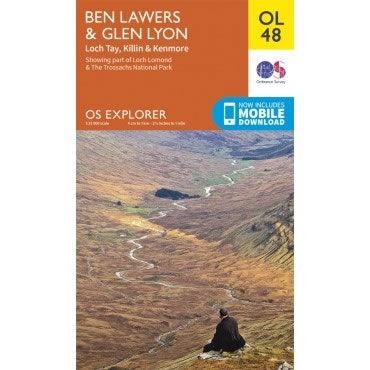
OS Explorer Map OL48 - Ben Lawers and Glen Lyon
This OS Explorer OL48 Map covers Ben Lawers and Glen Lyon, including Loch Tay, Killin and Kenmore.The map covers part of the Loch Lomond and The...
Regular price £12.99 GBPSale price £12.99 GBP Regular priceUnit price perSale Sold out -
Sports & Hobbies
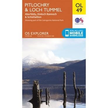
OS Explorer Map OL49 - Pitlochry and Loch Tummel
This OS Explorer OL49 Map covers Pitlochry and Loch Tummel , including Aberfeldy, Kinloch Rannoch, Schiehallion and part of the Cairngorms National Park.The scale of this...
Regular price £12.99 GBPSale price £12.99 GBP Regular priceUnit price perSale Sold out -
Sports & Hobbies
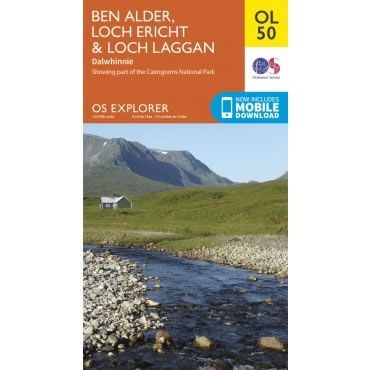
OS Explorer Map OL50 - Ben Alder, Loch Ericht and Loch Laggan
This OS Explorer OL50 Map covers Ben Alder, Loch Ericht, Loch Laggan, and Dalwhinnie. The map shows part of the Cairngorms National Park including 16 Munros.The...
Regular price £12.99 GBPSale price £12.99 GBP Regular priceUnit price perSale Sold out -
Sports & Hobbies
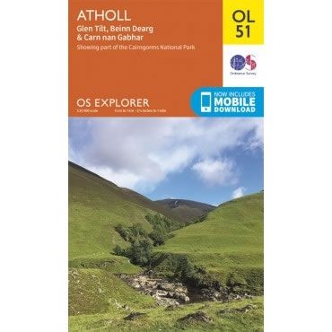
OS Explorer Map OL51 - Atholl
This OS Explorer OL51 Map covers Atholl, including Glen Tilt, Beinn Dearg and Carn nan Gabhar. The map shows part of the Cairngorms National Park including...
Regular price £12.99 GBPSale price £12.99 GBP Regular priceUnit price perSale Sold out -
Sports & Hobbies
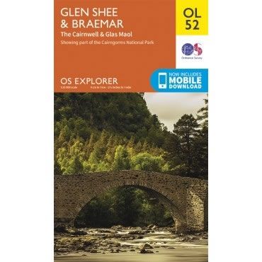
OS Explorer Map OL52 - Glen Shee and Braemar
This OS Explorer OL52 Map covers Glen Shee and Braemar, including the Cairnwell & Glas Maol. The map shows part of the Cairngorms National Park including...
Regular price £12.99 GBPSale price £12.99 GBP Regular priceUnit price perSale Sold out -
Sports & Hobbies
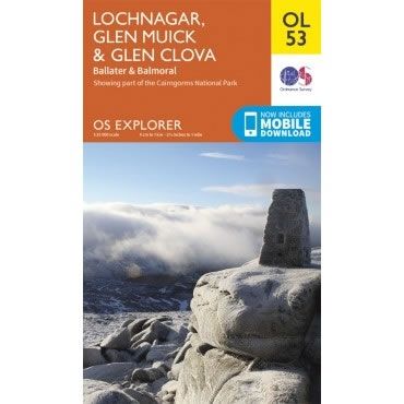
OS Explorer Map OL53 - Lochnagar, Glen Muick and Glen Clova
This OS Explorer OL53 Map covers Lochnagar, Glen Muick and Glen Clova. This map shows central southern part of part of the Cairngorms National Park, from...
Regular price £12.99 GBPSale price £12.99 GBP Regular priceUnit price perSale Sold out -
Sports & Hobbies
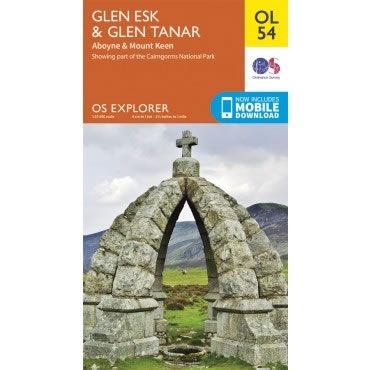
OS Explorer Map OL54 - Glen Esk and Glen Tanar
This OS Explorer OL54 Map covers Glen Esk and Glen Tanar, including Aboyne and Mount Keen. The map shows part of the Cairngorms National Park and...
Regular price £12.99 GBPSale price £12.99 GBP Regular priceUnit price perSale Sold out -
Sports & Hobbies
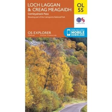
OS Explorer Map OL55 - Loch Laggan, Creag Meagaidh and Corrieyairack Pass
This OS Explorer OL55 Map covers Loch Laggan, Creag Meagaidh and Corrieyairack Pass. The map shows part of the Cairngorms National Park, Corrieyairick Forest plus 6...
Regular price £12.99 GBPSale price £12.99 GBP Regular priceUnit price perSale Sold out
