
-
Sports & Hobbies
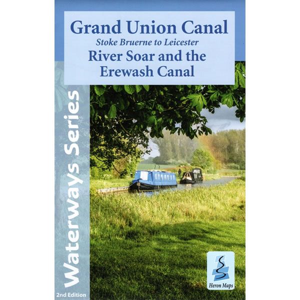
Grand Union Canal Map - Stoke Bruerne to Leicester
This Heron waterways map covers part of the Grand Union Canal from Stoke Bruerne to Leicester, and then onto Langley Mill along the River Soar and...
Regular price £6.50 GBPSale price £6.50 GBP Regular priceUnit price perSale Sold out -
Sports & Hobbies
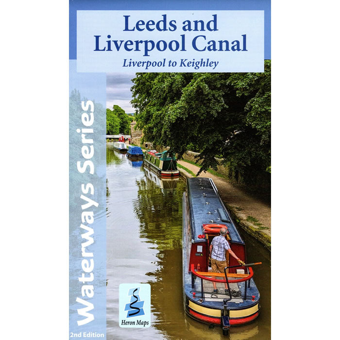
Leeds and Liverpool Canal Map - Liverpool to Keighley
This Heron waterways map covers the eastern part of the Leeds and Liverpool Canal from Liverpool to Keighley. The map provides detailed information for both waterways...
Regular price £6.50 GBPSale price £6.50 GBP Regular priceUnit price perSale Sold out -
Sports & Hobbies
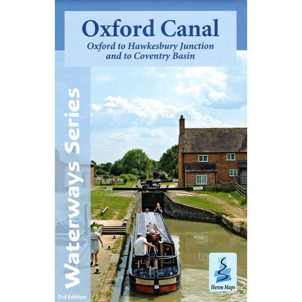
Oxford Canal Heron Map
This Heron waterways map covers the whole of the Oxford Canal, plus the Coventry Canal all the way to Coventry. The map provides detailed information for...
Regular price £6.50 GBPSale price £6.50 GBP Regular priceUnit price perSale Sold out -
Sports & Hobbies
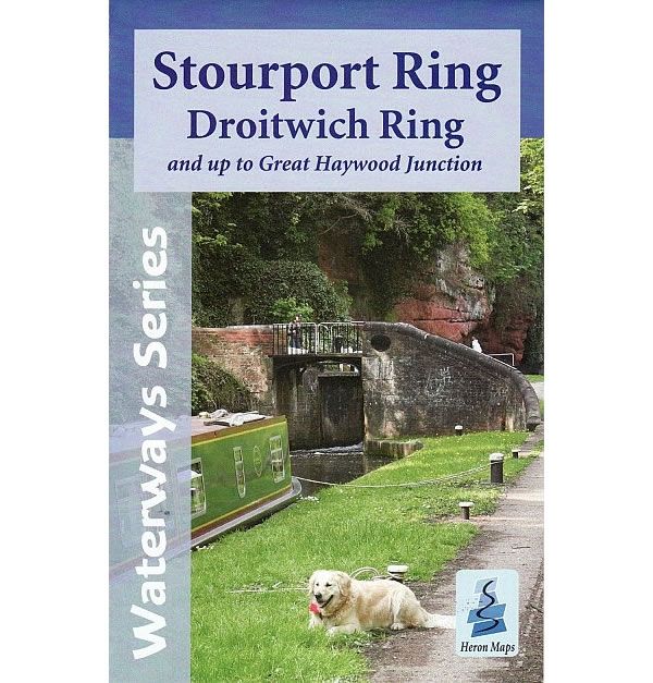
Stourport Ring and Droitwich Ring Heron Map
This Heron waterways map covers the Stourport and Droitwich Rings through the heart of the West Midlands. It also includes the whole of the Staffordshire and...
Regular price £6.50 GBPSale price £6.50 GBP Regular priceUnit price perSale Sold out -
Sports & Hobbies
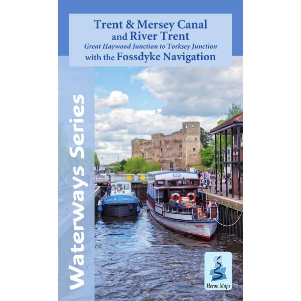
Trent & Mersey Canal and River Trent Heron Map
This Heron waterways map covers the Trent and Mersey Canal, River Trent and the Fossdyke Navigation at a scale of 1:50,000. It also includes detailed town...
Regular price £6.50 GBPSale price £6.50 GBP Regular priceUnit price perSale Sold out -
![Karpathos and Saria Walking Map [10.50]](//climb-europe.com/cdn/shop/files/karpathos-saria-walking-map-10-50-2022.jpg?v=1749646451&width=370 370w)
Sports & Hobbies
Karpathos and Saria Walking Map [10.50]
This is a detailed map showing the hiking paths and trails on the Greek Islands of Karpathos and Saria at a scale of 1:43,000. Karpathos is...
Regular price £6.90 GBPSale price £6.90 GBP Regular priceUnit price perSale Sold out -
![Patmos Walking Map [10.39] by Anavasi](//climb-europe.com/cdn/shop/files/patmos-walking-map-10-39-2022.jpg?v=1749646583&width=370 370w)
Sports & Hobbies
Patmos Walking Map [10.39]
This is a detailed map showing the hiking paths and trails on the Greek Island of Patmos at a scale of 1:20,000. Patmos is an excellent...
Regular price £6.95 GBPSale price £6.95 GBP Regular priceUnit price perSale Sold out -
Sports & Hobbies
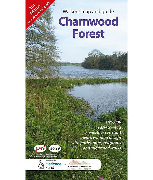
Charnwood Forest Regional Park Map
Charnwood Forest is part of the National Forest located between Leicester and Loughborough. It is a surprisingly rugged upland area makes the forest a great place...
Regular price £6.99 GBPSale price £6.99 GBP Regular priceUnit price perSale Sold out -
Sports & Hobbies
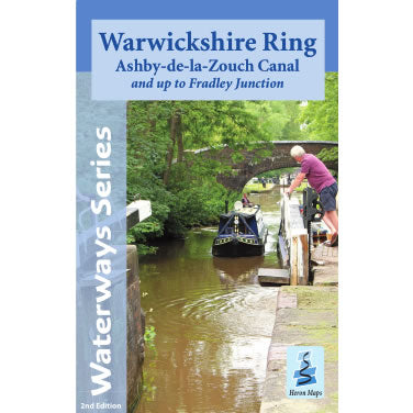
Warwickshire Ring Heron Map
This Heron waterways map covers the Warwickshire Ring and the Ashby-de-la-Zouch Canal, plus an extension to Fradley Junction, on the Trent and Mersey Canal. The map...
Regular price £6.99 GBPSale price £6.99 GBP Regular priceUnit price perSale Sold out -
Sports & Hobbies
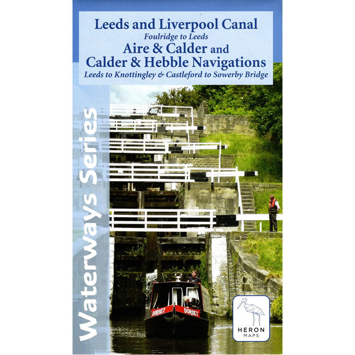
Leeds and Liverpool Canal Map - Foulridge to Leeds
This Heron waterways map covers the eastern part of the Leeds and Liverpool Canal from Foulridge to Leeds across the Pennines. Also covered are the Aire...
Regular price £7.50 GBPSale price £7.50 GBP Regular priceUnit price perSale Sold out -
![Skiathos Walking Map [10.11]](//climb-europe.com/cdn/shop/files/skiathos_-walking-map-anavasi-10-11.jpg?v=1749647786&width=370 370w)
Sports & Hobbies
Skiathos Walking Map [10.11]
This map shows all the hiking paths and trails on the Greek Island of Skiathos, at a scale of 1:25,000.Skiathos is known for its rich vegetation,...
Regular price £7.50 GBPSale price £7.50 GBP Regular priceUnit price perSale Sold out -
Sports & Hobbies
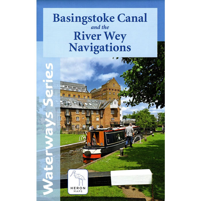
Basingstoke Canal and the River Wey Navigations Heron Map
This Heron waterways map covers the Basingstoke Canal and the River Wey Navigations at a scale of 1:45,000. The map provides detailed information for both waterways...
Regular price £7.50 GBPSale price £7.50 GBP Regular priceUnit price perSale Sold out -
Sports & Hobbies
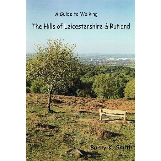
A Guide to Walking the Hills of Leicestershire and Rutland
This guidebook describes the walking to be found around the hills of Leicestershire and Rutland, along with places to see when you are there. In this...
Regular price £7.95 GBPSale price £7.95 GBP Regular priceUnit price perSale Sold out -
Sports & Hobbies
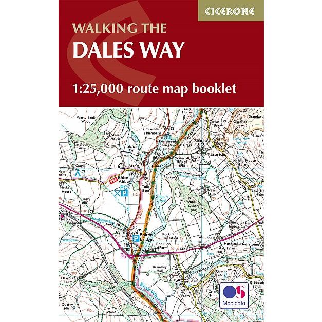
Dales Way Map Booklet
This Cicerone Booklet is a map of the complete of the Dales Way through the Yorkshire Dales between Ilkley and Bowness-on-Windermere. This trail is 79 miles...
Regular price £7.95 GBPSale price £7.95 GBP Regular priceUnit price perSale Sold out -
Sports & Hobbies
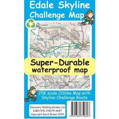
Edale Skyline Challenge Map
The Edale Skyline Challenge is a circular route that traditionally starts at the village of Edale. At Just over 20 miles long, the route includes 7...
Regular price £7.95 GBPSale price £7.95 GBP Regular priceUnit price perSale Sold out -
Sports & Hobbies
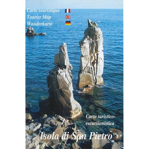
Island of San Pietro Walking Map
This walking map for the island of San Pietro (Isola do San Pietra) shows all the walking paths and mountain biking trails at a scale of...
Regular price £7.95 GBPSale price £7.95 GBP Regular priceUnit price perSale Sold out -
Sports & Hobbies
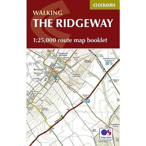
Ridgeway Map Booklet
This Cicerone Booklet covers the Ridgeway National Trail through the south of England from Avebury in Wiltshire to Ivinghoe Beacon in Buckinghamshire. The route is 87...
Regular price £7.95 GBPSale price £7.95 GBP Regular priceUnit price perSale Sold out -
Sports & Hobbies
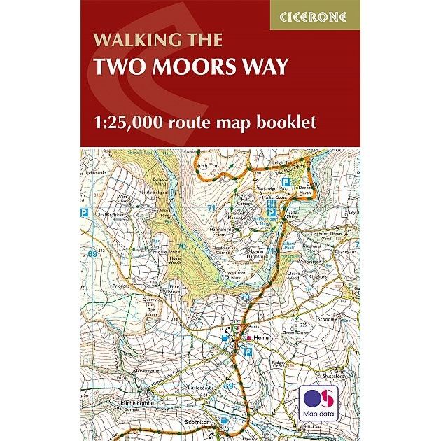
The Two Moors Way Map Booklet
This map booklet shows Devon's Coast to Coast, a 117 mile route incorporating the Two Moors Way and a section of the Erme-Plym Trail. It shows...
Regular price £7.95 GBPSale price £7.95 GBP Regular priceUnit price perSale Sold out -
Sports & Hobbies
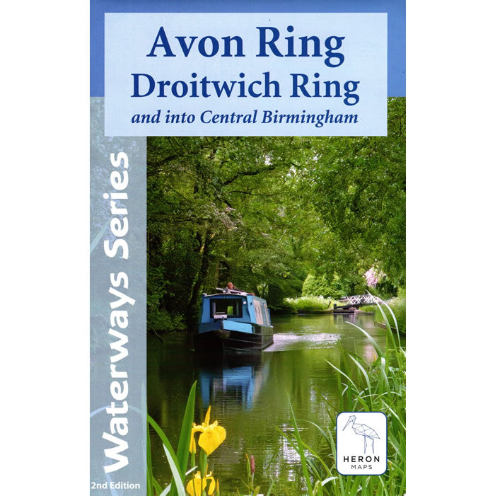
Avon Ring and Droitwich Ring Heron Map
This Heron waterways map covers the Avon and Droitwich Rings including the whole of the Worcester and Birmingham Canal into the heart of Birmingham. The map...
Regular price £7.99 GBPSale price £7.99 GBP Regular priceUnit price perSale Sold out -
Sports & Hobbies
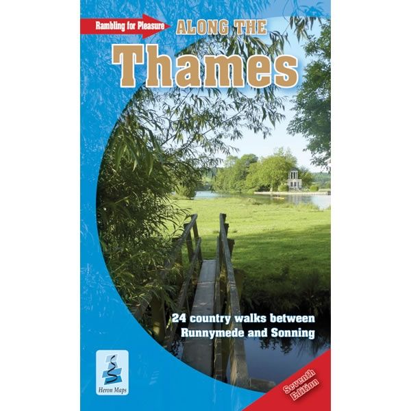
Rambling for Pleasure Along The Thames
This Rambling for Pleasure Along The Thames describes 24 circular covering over a 100 miles of easy walking along the River Thames from Runnymede (near Staines)...
Regular price £7.99 GBPSale price £7.99 GBP Regular priceUnit price perSale Sold out -
Sports & Hobbies
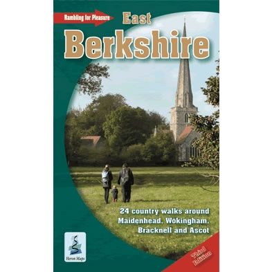
Rambling for Pleasure in East Berkshire Guidebook
This guidebook describes 24 country walks around Maidenhead, Wokingham, Bracknell and Ascot in East Berkshire.This practical guidebook covers over 125 miles of easy walking across the...
Regular price £7.99 GBPSale price £7.99 GBP Regular priceUnit price perSale Sold out -
Sports & Hobbies
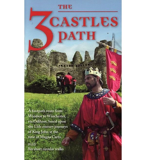
The 3 Castles Path Guidebook – from Windsor to Winchester
This guidebook describes the 3 Castles Path from Windsor to Winchester, via Odilam Castle. It provides 60 miles of easy walking through peaceful historic and beautiful...
Regular price £7.99 GBPSale price £7.99 GBP Regular priceUnit price perSale Sold out -
Sports & Hobbies
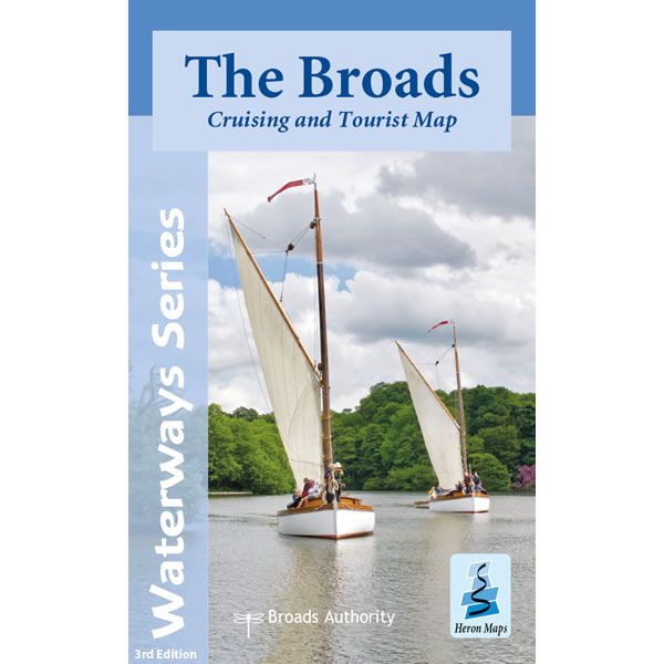
The Broads Heron Map
This Heron waterways map covers The Broads providing detailed information for both waterways and leisure users. The map is complimented by information panels and photographs. This...
Regular price £7.99 GBPSale price £7.99 GBP Regular priceUnit price perSale Sold out -
Sports & Hobbies
Ben Alligin Summit Map
This Ben Alligin Summit Map is an enlarged map for hillwalkers covering the summit ridge of Ben Alligin at a scale of 1:12,500. Ben Alligin one...
Regular price £8.50 GBPSale price £8.50 GBP Regular priceUnit price perSale Sold out


![Karpathos and Saria Walking Map [10.50]](http://climb-europe.com/cdn/shop/files/karpathos-saria-walking-map-10-50-2022.jpg?v=1749646451&width=370 370w)
![Patmos Walking Map [10.39] by Anavasi](http://climb-europe.com/cdn/shop/files/patmos-walking-map-10-39-2022.jpg?v=1749646583&width=370 370w)


![Skiathos Walking Map [10.11]](http://climb-europe.com/cdn/shop/files/skiathos_-walking-map-anavasi-10-11.jpg?v=1749647786&width=370 370w)


