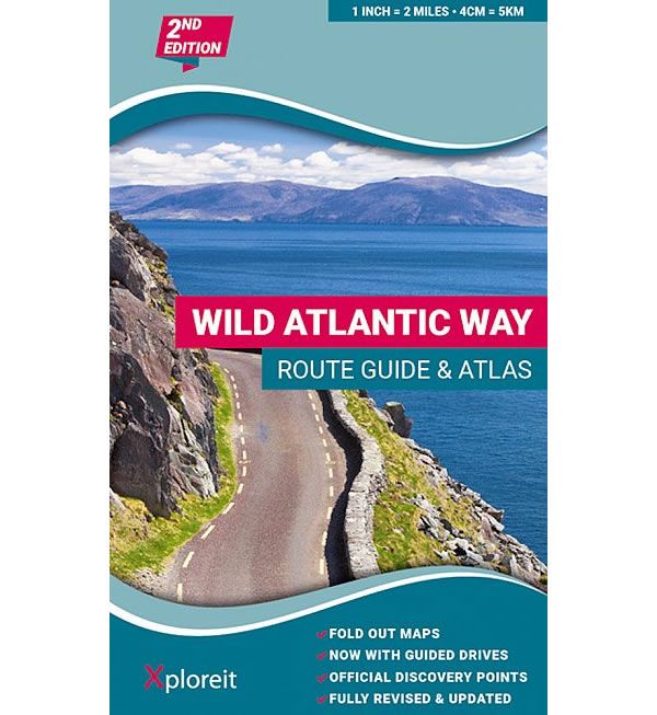
The Wild Atlantic Way Route Atlas
Couldn't load pickup availability
Description
The Wild Atlantic Way along Ireland's west coast is 5,500km long, where land and sea collide and untamed beauty abounds. The route includes Ireland's most northerly point, Malin Head in Donegal and its most southerly point, Mizen Head in Cork.
This atlas splits up the Wild Atlantic Way into 30 foldout maps which are detailed yet easy to read. Each fold out map shows a section of the route that can usually be driven in one day or less. There are useful distance charts for towns and villages to help you plan your journey. There are over 150 Discovery points, including 15 Signature Discovery points along the way. The Signature Discovery points are the must-see, iconic destinations, which are as follows:
1 - Old Head of Kinsale, 2 - Mizen Head, 3 - Dursey Island, 4 - Bray Head, 5 - Blaskets View, 6 - Loop Head, 7 - Cliffs of Mother, 8 - Derrigimlagh, 9 - Killary Harbour, 10 - Keem Bay, 11 - Downpatrick Head, 12 - Mullaghmore Head, 13 - Slieve League, 14 - Fanad Head, and 15 - Malin Head.
GPS coordinates are given for the 150+ Discovery points. Also included are a variety of coastal and forest walks, settlements, and attractions to make your journey along the Wild Atlantic Way an extra special experience.
The coastal roads are classified so that you are instantly aware of any narrow sections and you can also see where the really scenic stretches are located. The atlas is equally suitable for short excursions or for navigating the entire Wild Atlantic Way, an indispensable tool for those exploring this wild and rugged seascape.
Published by Xploreit in 2023 (revised 2nd edition), the atlas legend/key is in English, German and French Text.

