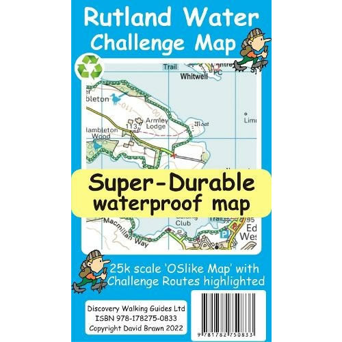
Rutland Water Challenge Map and Guide
Couldn't load pickup availability
Description
Rutland Water is the UK's largest man-made lake set in 4,200 acres of parkland, providing a nice mixture of woodlands and open terrain to explore. The Rutland Water Challenge is a circular trail around Rutland Water and is an ideal introduction to long distance walking. This is a great route year-round, used by walkers and cyclists. There are four official, family friendly, recreation centres and nature reserves around the lake, including the Rutland Osprey Project.
Rutland Water Challenge Map and Guide is a map with the 3 different Challenge routes specially highlighted, at a scale of 1:25,000. The 3 circular routes are Hambleton Peninsula (8.3 km long), Circular (24.5 km long) and the full Challenge route at 36 km long.
The map takes OS mapping at 1:50,000 that is expanded to produce a 1:25,000 scale map of the 3 Rutland Water challenge routes. By expanding the OS mapping all names, roads, tracks and trails are more than doubled in size making them easier to read under Challenge conditions. The challenge routes are highlighted to make them stand out against the OS map background information. Additional information is then added to the maps that will help your challenge.
On the reverse of the map sheet is our Locator Map showing the location of, and access to, Rutland Water relative to a wide area of England. The result is a light weight, double sided 600mm by 600mm map design.
Published by Discovery Walking Guides in 2022, this is a double sided map.
This Rutland Water Challenge Super-Durable map is waterproof, split-proof, tear-proof and challenge-proof that can take the roughest treatment and still folds up like new after your adventure. Backed up with a 2-year guarantee these Super-Durable maps have a special concertina map fold that means they easily unfold when in use, and more importantly will survive anything your Rutland Water Challenge can throw at it and afterwards will fold up like new.

