-
Sports & Hobbies
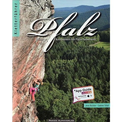
Pfalz Rock Climbing Guidebook
This is the definitive guidebook for the rock climbing at Pfalz that is famous for its red sandstone towers and impressive cliffs. This area is situated...
Regular price £39.95 GBPSale price £39.95 GBP Regular priceUnit price perSale Sold out -
Sports & Hobbies
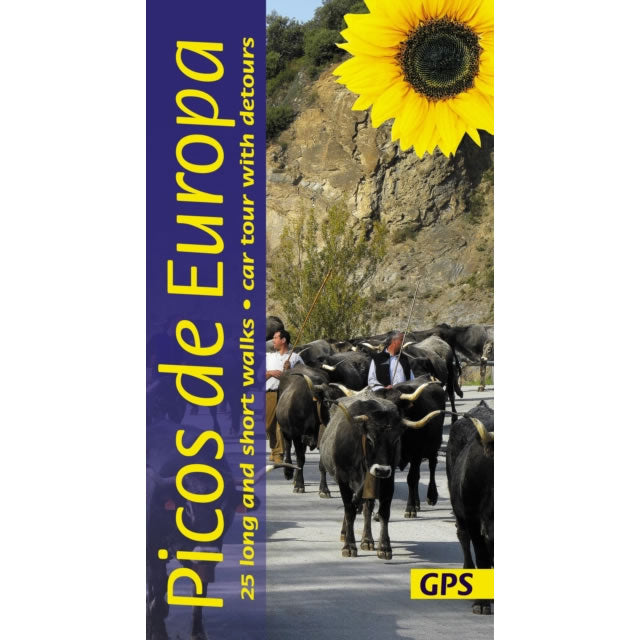
Picos De Europa Car Tours and Walks Guidebook
This guidebook describes 25 long and short walks, plus 1 car tour (with several detour options) in the Picos De Europa in Northern Spain.The Picos de...
Regular price £14.99 GBPSale price £14.99 GBP Regular priceUnit price perSale Sold out -
Sports & Hobbies
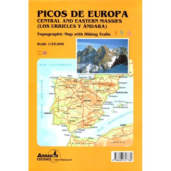
Picos de Europa Map - Central and Eastern Areas
This Macizos Central y Oriental map for the Picos de Europa covers the central and eastern areas of this iconic massif in northern Spain (Los Urrieles...
Regular price £9.99 GBPSale price £9.99 GBP Regular priceUnit price perSale Sold out -
Sports & Hobbies
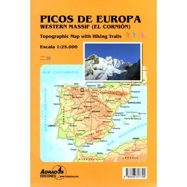
Picos de Europa Map - Western Massif
This Macizo Occidental map for the Picos de Europa covers the western areas of this iconic massif in northern Spain. The map shows all the walking...
Regular price £9.99 GBPSale price £9.99 GBP Regular priceUnit price perSale Sold out -
Sports & Hobbies
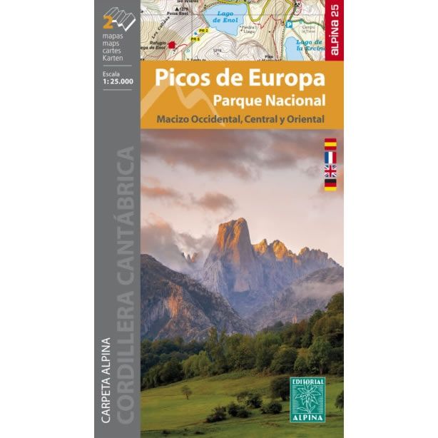
Picos de Europa National Park - 2 Map Set
These 2 maps cover the whole of the Picos de Europa National Park at a scale of 1:25,000. The first map covers the western part of...
Regular price £13.50 GBPSale price £13.50 GBP Regular priceUnit price perSale Sold out -
Sports & Hobbies
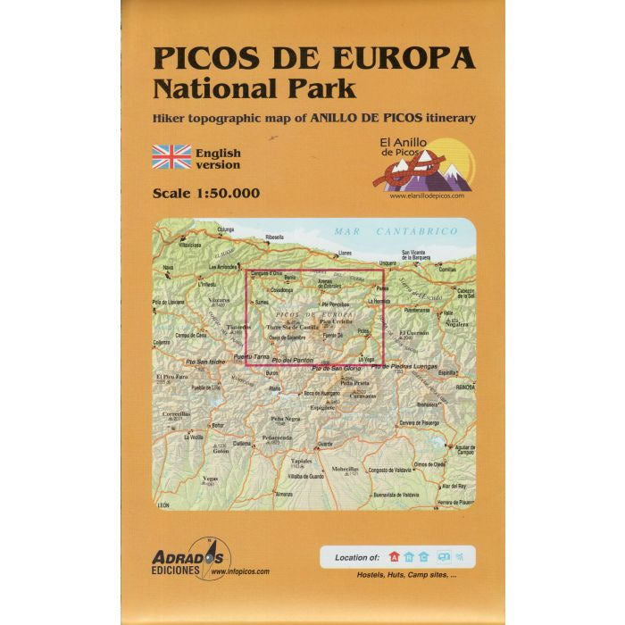
Picos de Europa National Park Map
This map shows the entire Picos de Europa National Park including the western massif, central massif and eastern massif. This map highlights 3 long distance hiking...
Regular price £9.95 GBPSale price £9.95 GBP Regular priceUnit price perSale Sold out -
Sports & Hobbies
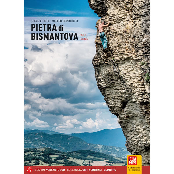
Pietra di Bismantova Rock Climbing Guidebook
This is a comprehensive guidebook covering the bolted multi-pitch and single pitch sport routes at Bismantova. Bismantova is a huge sandstone buttress that is located above...
Regular price £33.95 GBPSale price £33.95 GBP Regular priceUnit price perSale Sold out -
Sports & Hobbies
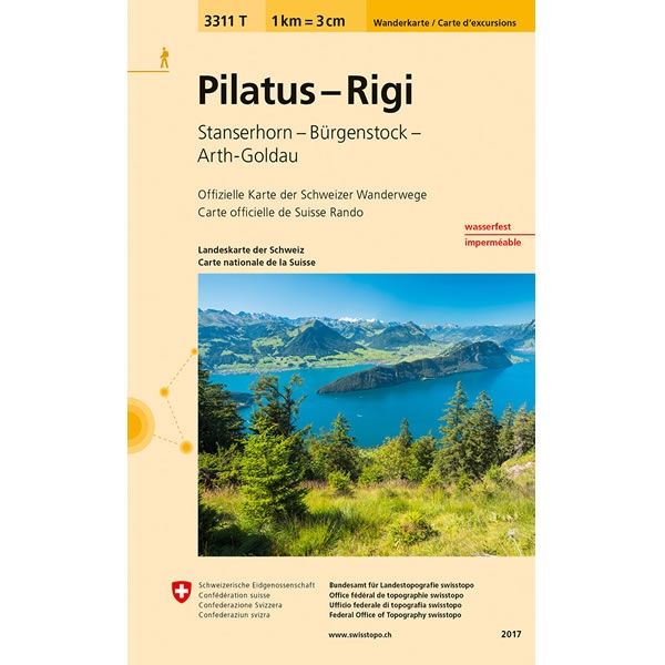
Pilatus - Rigi Walking Map 3311T
This Pilatus - Rigi Walking Map covers Mount Pilatus and Mount Rigi that overlook Lake Lucerne in Central Switzerland. It also covers the mountains of Stanserhorn...
Regular price £10.95 GBPSale price £10.95 GBP Regular priceUnit price perSale Sold out -
Sports & Hobbies
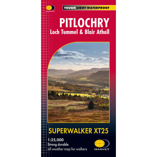
Pitlochry XT25 Superwalker Map
This Pitlochry XT25 Superwalker is a detailed map for hillwalkers of Pitlochry, Loch Tummel and Blair Atholl at a scale of 1:25,000. The map includes Ben...
Regular price £15.50 GBPSale price £15.50 GBP Regular priceUnit price perSale Sold out -
Sports & Hobbies
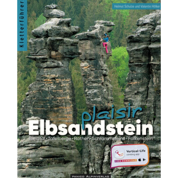
Plaisir Elbsandstein Rock Climbing Guidebook
The Elbe Sandstone rock climbing area is located to the southeast of Dresden on the Czech border. These sandstone towers offer some of the most scenic...
Regular price £38.95 GBPSale price £38.95 GBP Regular priceUnit price perSale Sold out -
Sports & Hobbies
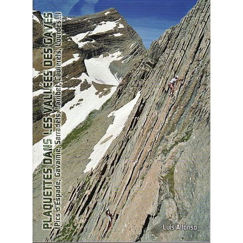
Plaquettes Dans Les Vallees Des Gaves Rock Climbing Guidebook
This is a comprehensive guidebook covering the French Side of the Pyrenees around the towns of Lourdes and Gavarnie. 15 different areas are covered and these...
Regular price £24.95 GBPSale price £24.95 GBP Regular priceUnit price perSale Sold out -
Sports & Hobbies
Popular Climbing Routes in Slovenia Guidebook
This is a selective guidebook describing the very best rock climbing routes in the Slovenian Mountains. This includes both mountaineering and pure multi-pitch rock climbing routes...
Regular price £29.95 GBPSale price £29.95 GBP Regular priceUnit price perSale Sold out -
Sports & Hobbies
Portland Rock Climbing Guidebook
This is the comprehensive guidebook describing all the sport climbing, trad climbing, deep water soloing, and loads of bouldering at Portland and Lulworth Cove in Dorset...
Regular price £20.00 GBPSale price £20.00 GBP Regular priceUnit price perSale Sold out -
Sports & Hobbies
Porto Conte Bay to Platamona walking map [6]
This Dalla Baia di Porto Conte a Platamona walking map covers many walking, hiking and cycling paths and trails along the northern western part of Sardinia...
Regular price £8.95 GBPSale price £8.95 GBP Regular priceUnit price perSale Sold out -
Sports & Hobbies
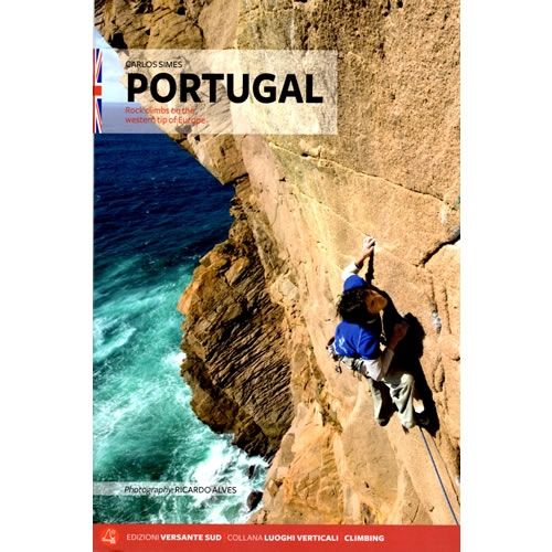
Portugal Rock Climbing Guidebook
This guidebook describes the best rock climbing found in Portugal, covering the whole of the country from Meadinha in the north, and many crags around Lisbon...
Regular price £33.95 GBPSale price £33.95 GBP Regular priceUnit price perSale Sold out -
Sports & Hobbies
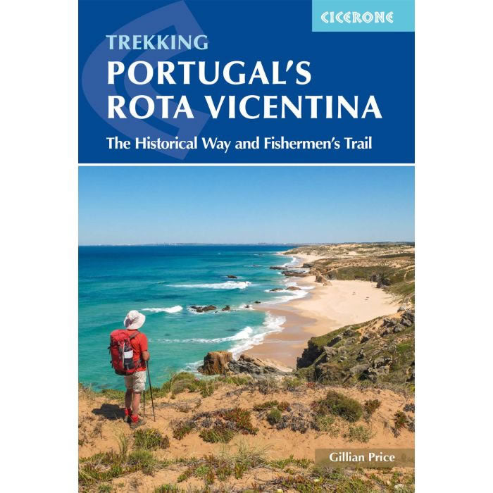
Portugal's Rota Vicentina Walking Guidebook
This guidebook describes Portugal's Rota Vicentina long distance walking route along the marvellous southwest Atlantic coastline in the Alentejo and Algarve regions of Portugal. This 12-stage...
Regular price £18.95 GBPSale price £18.95 GBP Regular priceUnit price perSale Sold out -
Sports & Hobbies
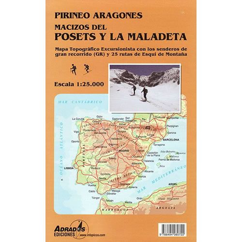
Posets and Maladeta Natural Park walking map
This map covers the Posets and Maladeta Natural Park in the central part of the Spanish Pyrenees. The Posets and Maladeta Natural Park is located to...
Regular price £9.95 GBPSale price £9.95 GBP Regular priceUnit price perSale Sold out -
Sports & Hobbies
Prespa, Vitsi, Voras Walking Map [6.2]
This is a double sided walking map at a scale of 1:50,000. The one side of the map covers the Prespa National Park that including Mt...
Regular price £8.95 GBPSale price £8.95 GBP Regular priceUnit price perSale Sold out -
Sports & Hobbies
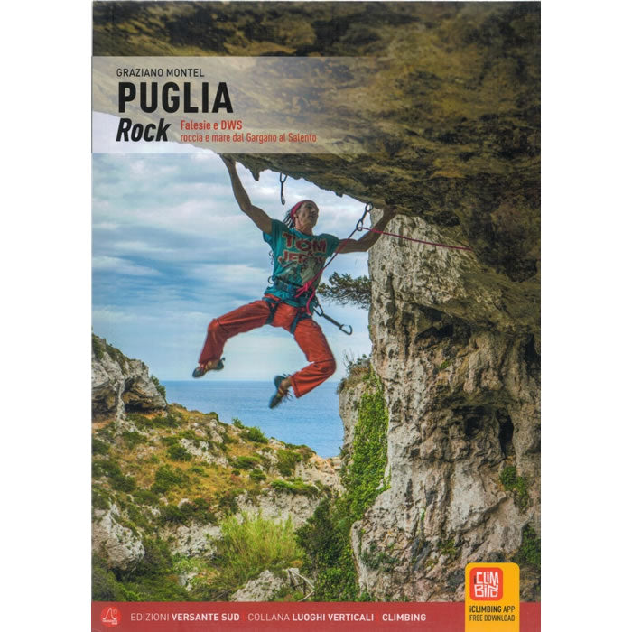
Puglia Rock Climbing Guidebook
This is a comprehensive guidebook by Versante Sud covering the sport climbing in the Puglia region of southern Italy. The guidebook details 15 different crags and...
Regular price £26.95 GBPSale price £26.95 GBP Regular priceUnit price perSale Sold out -
Sports & Hobbies
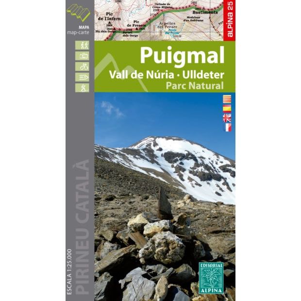
Puigmal Mountain Map
This map covers the area around Puigmal Mountain, which is one of the highest mountains in the eastern Pyrenees at 2,913m high, and is close to...
Regular price £10.95 GBPSale price £10.95 GBP Regular priceUnit price perSale Sold out -
Sports & Hobbies
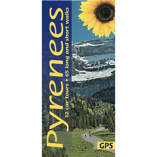
Pyrenees Car Tours and Walks Guidebook
This guidebook describes 65 long and short walks, plus 12 car tours in the Pyrenees.For each walk there is a detailed route description that is illustrated...
Regular price £12.99 GBPSale price £12.99 GBP Regular priceUnit price perSale Sold out -
Sports & Hobbies
Rab and Goli Islands Walking Map [20a]
This Rab and Goli Islands walking map describes the walking paths and trails around the islands of Rab and Goli at a scale of 1:25,000. Rab...
Regular price £9.95 GBPSale price £9.95 GBP Regular priceUnit price perSale Sold out -
Sports & Hobbies
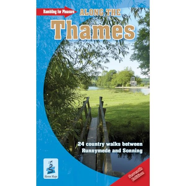
Rambling for Pleasure Along The Thames
This Rambling for Pleasure Along The Thames describes 24 circular covering over a 100 miles of easy walking along the River Thames from Runnymede (near Staines)...
Regular price £7.99 GBPSale price £7.99 GBP Regular priceUnit price perSale Sold out -
Sports & Hobbies
Rambling for Pleasure in East Berkshire Guidebook
This guidebook describes 24 country walks around Maidenhead, Wokingham, Bracknell and Ascot in East Berkshire.This practical guidebook covers over 125 miles of easy walking across the...
Regular price £7.99 GBPSale price £7.99 GBP Regular priceUnit price perSale Sold out


![Porto Conte Bay to Platamona walking map [6]](http://climb-europe.com/cdn/shop/files/06-porto-conte-bay-to-platamona-walking-map.jpg?v=1749647692&width=370 370w)
![Prespa, Vitsi, Voras Walking Map [6.2]](http://climb-europe.com/cdn/shop/files/prespa-vitsi-voras-walking-map-2024.jpg?v=1749646136&width=370 370w)
![Rab and Goli Islands Walking Map [20a]](http://climb-europe.com/cdn/shop/files/rab-and-otok-walking-map-20a.gif?v=1749647777&width=370 370w)
