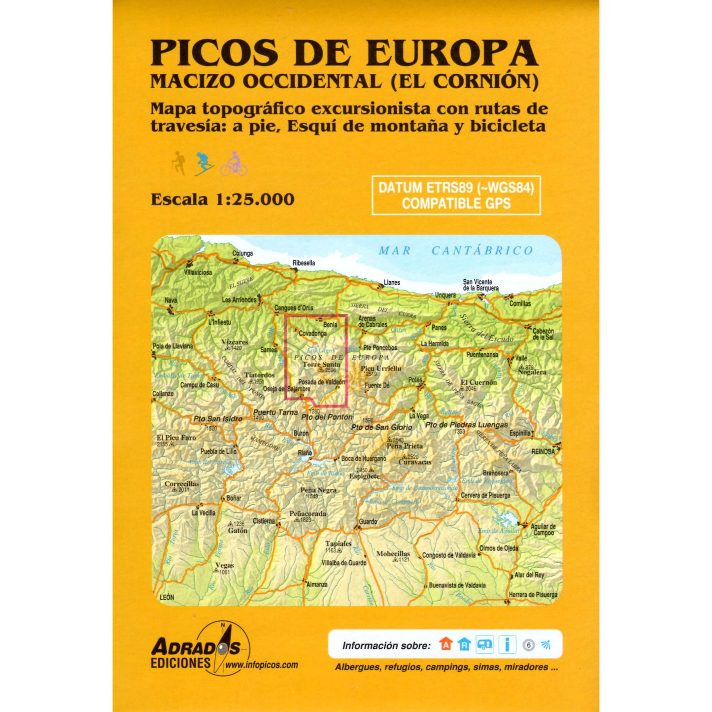
Picos de Europa Map - Western Massif (Macizo Occidental)
Regular price
£9.99 GBP
Sale price
£9.99 GBP
Regular price
Unit price
per
Sale
Sold out
Shipping calculated at checkout.
Couldn't load pickup availability
Description
This Macizo Occidental map for the Picos de Europa covers the western areas of this iconic massif in northern Spain. The map shows all the walking and hiking trails in the western part of the Picos de Europe at a scale of 1:25,000.
The map covers the El Cornión Massif that includes the peak of Torre Santade Castilla at 2,596m high, plus the famous Lakes of Covadonga, and the deep Cares and Sella river gorges.
Published in 2012 the map key/legend is in Spanish text.
Map Scale is 1:25,000
Folded size is 145mm x 215mm
ISBN is 9788493317799.