1
/
of
1
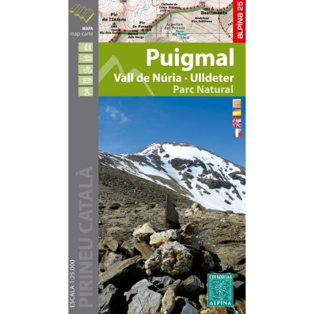
Puigmal Mountain Map
Regular price
£10.95 GBP
Sale price
£10.95 GBP
Regular price
Unit price
/
per
Sale
Sold out
Sold out
Shipping calculated at checkout.
Couldn't load pickup availability
Description
This map covers the area around Puigmal Mountain, which is one of the highest mountains in the eastern Pyrenees at 2,913m high, and is close to the town of Ribes de Freser. Included on the map are the Vall de Nuria and the Ulldeter range of mountains, as well as part of the GR11 long distance path.Published in 2019 by Editorial Alpina this map is GPS compatible. The map key/legend is written in French, Spanish, Catalan, and English text. Also included is the contact information (phone number, email address and website) for the various mountain huts and Refuges in the Puigmal area.
Map Scale is 1:25,000
Folded size is 115mm x 210mm
ISBN is 9788480907835

