-
Sports & Hobbies
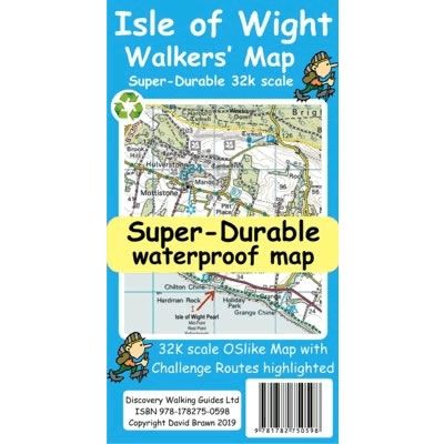
Isle of Wight Walkers' Challenge Super-Durable Map
This Isle of Wight Walkers' Challenge Super-Durable Map shows the challenge routes and walking trails on the Isle of Wight at a scale of 1:32,000. The...
Regular price £8.99 GBPSale price £8.99 GBP Regular priceUnit price perSale Sold out -
Sports & Hobbies
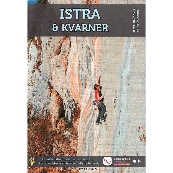
Istria and Kvarner Rock Climbing Guidebook
This is a comprehensive rock climbing guidebook for Istria and Kvarner in northern Croatia. The Istria peninsula covers an area around the towns of Pula, Rovinj...
Regular price £34.95 GBPSale price £34.95 GBP Regular priceUnit price perSale Sold out -
Sports & Hobbies
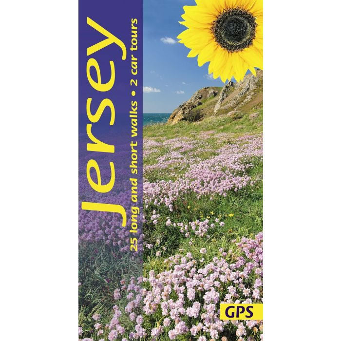
Jersey Car Tours and Walks Guidebook
This guidebook describes 25 long and short walks, plus 2 car tours on the island of Jersey.Walking in Jersey can be quite challenging as the coastline...
Regular price £10.99 GBPSale price £10.99 GBP Regular priceUnit price perSale Sold out -
Sports & Hobbies
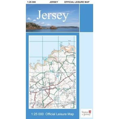
Jersey Official Leisure Map
This Jersey Official Leisure Map shows the whole of Jersey Island at a scale of 1:25,000. On the reverse is a street map of St Helier....
Regular price £10.00 GBPSale price £10.00 GBP Regular priceUnit price perSale Sold out -
Sports & Hobbies
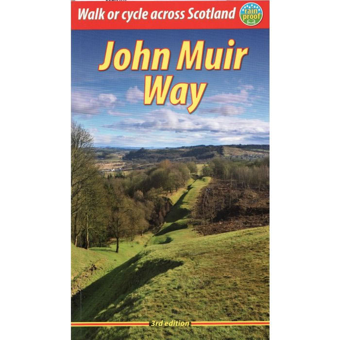
John Muir Way Guidebook
This is a definitive guidebook to the John Muir Way that runs for 134 miles (215 km) coast-to-coast across central Scotland. It starts at Helensburgh on...
Regular price £16.99 GBPSale price £16.99 GBP Regular priceUnit price perSale Sold out -
Sports & Hobbies
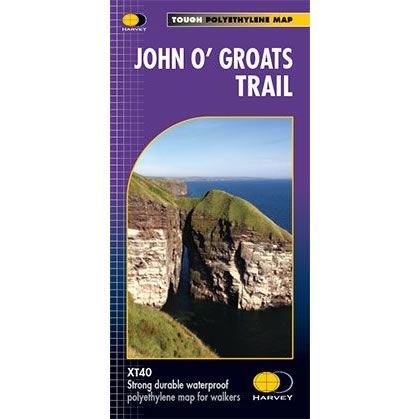
John O' Groats Trail XT40 Harvey Map
The John O' Groats Trail runs from Inverness to John O' Groats and is 237km long (147 miles). It traversing shorelines, cliff tops, back lanes and...
Regular price £17.50 GBPSale price £17.50 GBP Regular priceUnit price perSale Sold out -
Sports & Hobbies
Joshua Tree Bouldering Guidebook
This bouldering guidebook for Joshua Tree details over 2,000 problems that are shown on colour photo-topos along with a description, and in addition there are plenty...
Regular price £36.95 GBPSale price £36.95 GBP Regular priceUnit price perSale Sold out -
Sports & Hobbies
Joshua Tree Rock Climbs
The Joshua Tree Rock Climbs is a selective guidebook that describes of the best rock climbing routes and boulder problems in Joshua Tree National Park, including...
Regular price £37.95 GBPSale price £37.95 GBP Regular priceUnit price perSale Sold out -
Sports & Hobbies
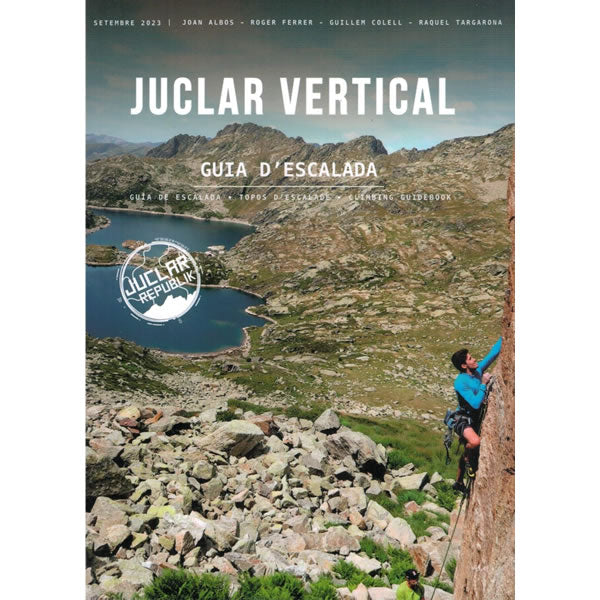
Juclar Vertical Climbing Guidebook - Guia de escalada Andorra
The Juclar Valley is a popular destination for rock climbing in northeast Andorra. The valley is home to a number of granite cliffs, which offer a...
Regular price £22.50 GBPSale price £22.50 GBP Regular priceUnit price perSale Sold out -
Sports & Hobbies
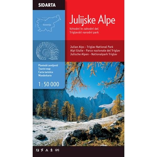
Julian Alps Walking Map
This is walking map for the entire territory of the Julian Alps, including the Triglav national park, at a scale of 1:50,000. It covers a region...
Regular price £9.95 GBPSale price £9.95 GBP Regular priceUnit price perSale Sold out -
Sports & Hobbies
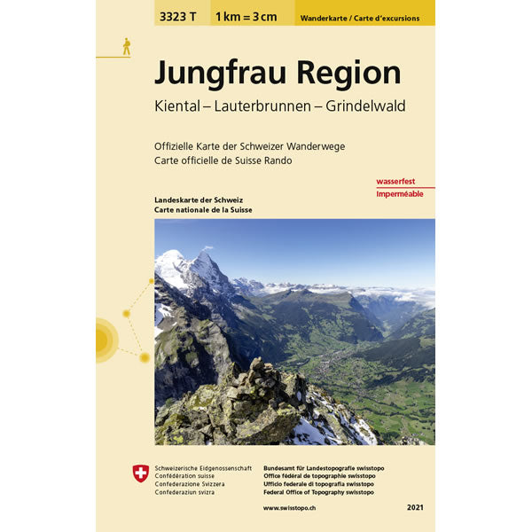
Jungfrau Region Walking Map 3323T
This Jungfrau Walking Map covers the Jungfrau and Eiger Mountains, including the towns of Grindelwald and Lauterbrunnen, plus the Kiental (Kien Valley).The scale of this Jungfrau...
Regular price £10.95 GBPSale price £10.95 GBP Regular priceUnit price perSale Sold out -
Sports & Hobbies
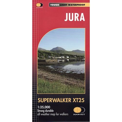
Jura XT25 Superwalker Map
This Jura XT25 Superwalker Map is a detailed map for hillwalkers showing the whole of the Isle of Jura at a scale of 1:25,000. It includes...
Regular price £15.50 GBPSale price £15.50 GBP Regular priceUnit price perSale Sold out -
Sports & Hobbies
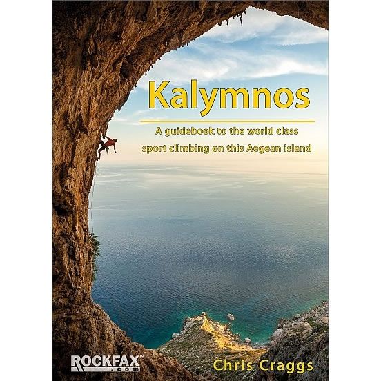
Kalymnos Rockfax Climbing Guidebook
This Rockfax guidebook covers the rock climbing and sport climbing on the Aegean island of Kalymnos. Kalymnos is one of the world's best known sport climbing...
Regular price £34.95 GBPSale price £34.95 GBP Regular priceUnit price perSale Sold out -
Sports & Hobbies
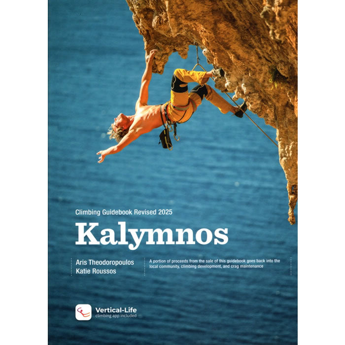
Kalymnos Sport Climbing Guidebook
This definitive Kalymnos guidebook covers all the rock climbing, and sport climbing on the island of Kalymnos in Greece. In total there are 99 different rock climbing...
Regular price £48.90 GBPSale price £48.90 GBP Regular priceUnit price perSale Sold out -
Sports & Hobbies
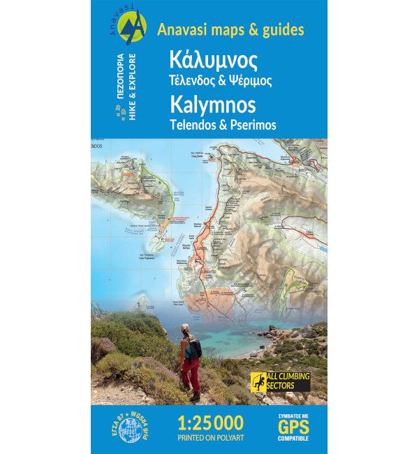
Kalymnos Walking Map [10.32]
This walking map covers the Greek Island of Kalymnos (Kalimnos) at a scale of 1:25,000. Kalymnos has a great network of trails and paths over barren...
Regular price £8.50 GBPSale price £8.50 GBP Regular priceUnit price perSale Sold out -
Sports & Hobbies
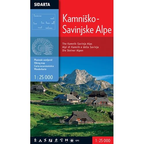
Kamnik-Savinja Alps Walking Map
This is a walking map for the Kamnik and Savinja Alps at a scale of 1:25,000, and is printed on both sides. The Kamnik and Savinja...
Regular price £9.95 GBPSale price £9.95 GBP Regular priceUnit price perSale Sold out -
Sports & Hobbies
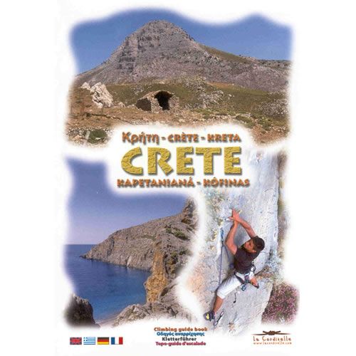
Kapetaniana Sport Climbing Guidebook, for Crete
This is the definitive rock climbing, and sports climbing guidebook for Kapetaniana (Kofinas) in Crete, Greece. The guidebook details 8 different areas and covers over 120...
Regular price £24.95 GBPSale price £24.95 GBP Regular priceUnit price perSale Sold out -
Sports & Hobbies
Karpathos and Saria Walking Map [10.50]
This is a detailed map showing the hiking paths and trails on the Greek Islands of Karpathos and Saria at a scale of 1:43,000. Karpathos is...
Regular price £6.90 GBPSale price £6.90 GBP Regular priceUnit price perSale Sold out -
Sports & Hobbies
Karpathos Rock Climbing Guidebook
This is the definitive sport climbing guidebook for Karpathos, a beautiful Dodecanese Island near Crete. The guidebook details 388 routes with; 64 routes between F3 to...
Regular price £27.90 GBPSale price £27.90 GBP Regular priceUnit price perSale Sold out -
Sports & Hobbies
Karst Edge Rock Climbing Guidebook
The Karst Edge Rock Climbing Guidebook describes the crags around Osp in Slovenia and Trieste in Italy. The Karst Edge is a band of limestone that...
Regular price £28.95 GBPSale price £28.95 GBP Regular priceUnit price perSale Sold out -
Sports & Hobbies
Kefalonia and Ithaca Walking Map [9.3]
This is a detailed map showing the hiking paths and trails on the Greek Islands of Kefalonia (Cephalonia) and Ithaca. Kefalonia is shown on 1 side...
Regular price £8.50 GBPSale price £8.50 GBP Regular priceUnit price perSale Sold out -
Sports & Hobbies
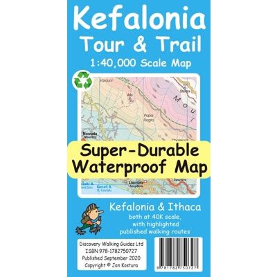
Kefalonia Tour & Trail Super-Durable Map
This Kefalonia Tour and Trail Super-Durable Map covers the islands of Kefalonia and Ithaca at a scale of 1:40,000. The map is double sided with North-West...
Regular price £11.99 GBPSale price £11.99 GBP Regular priceUnit price perSale Sold out -
Sports & Hobbies
Kennet and Avon Canal, and the River Avon Heron Map
This Heron waterways map covers the Kennet and Avon Canal, plus the River Avon running from Bristol in the west to Reading and the junction with...
Regular price £5.99 GBPSale price £5.99 GBP Regular priceUnit price perSale Sold out -
Sports & Hobbies
Kennet and Avon Pearson Canal Companion
This canal companion describes the Kennet and Avon Canal linking Bristol with Reading, and the River Thames between Oxford and Brentford, in London. Between them, they...
Regular price £14.95 GBPSale price £14.95 GBP Regular priceUnit price perSale Sold out


![Karpathos and Saria Walking Map [10.50]](http://climb-europe.com/cdn/shop/files/karpathos-saria-walking-map-10-50-2022.jpg?v=1749646451&width=370 370w)

![Kefalonia (Cephalonia) and Ithaca Walking Map [9.3]](http://climb-europe.com/cdn/shop/files/kefalonia-and-ithaca-walking-map-9-3-2023.jpg?v=1749646584&width=370 370w)
