1
/
of
1
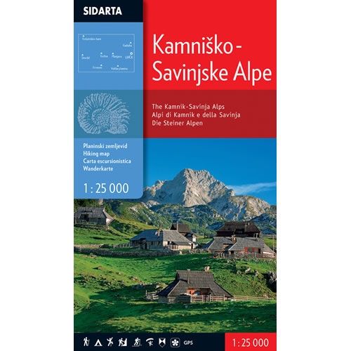
Kamnik-Savinja Alps Walking Map
Regular price
£9.95 GBP
Sale price
£9.95 GBP
Regular price
Unit price
/
per
Sale
Sold out
Sold out
Shipping calculated at checkout.
Couldn't load pickup availability
Description
This is a walking map for the Kamnik and Savinja Alps at a scale of 1:25,000, and is printed on both sides. The Kamnik and Savinja Alps are located to the north of Ljubljana on the border with Austria. The map covers the village of Luce, plus the mountains of Grintovec , Storzic, Planjava, Kosutnikov turn, Raduha, Kocna, and Krvavec.This Kamnik and Savinja Alps walking map shows, waymarked paths, unmarked trails, ski tours, sport climbing areas, natural and cultural points of interest, plus paragliding take-off sites. The map is also compatible with GPS systems. It also details all the mountain huts in the area, with contact details, and sleeping facilities.
Published by Sidarta, the text and legend of this map is in English, German and Slovenian throughout.
ISBN is 3830008646354
Map Scale is 1:25,000
Folded size is 125mm x 227mm.

