1
/
of
1
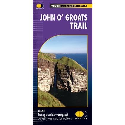
John O' Groats Trail XT40 Harvey Map
Regular price
£17.50 GBP
Sale price
£17.50 GBP
Regular price
Unit price
/
per
Sale
Sold out
Sold out
Shipping calculated at checkout.
Couldn't load pickup availability
Description
The John O' Groats Trail runs from Inverness to John O' Groats and is 237km long (147 miles). It traversing shorelines, cliff tops, back lanes and footpaths, and it passes through some of the most dramatic scenery in Britain. These include sea arches, sea stacks and hidden natural harbours, many of which have ruins of stone buildings from the 19th century.The routes has a combination of strenuous walking and easier popular strolls. Hence the John O' Groats Trail is meant to be used both by long-distance walkers going to or from Land’s End and local walkers looking for a coastal stroll. The map details options for accommodation, meals and shops that are available at the end of most stages of the walk.
Harvey XT40 Maps are printed on light, waterproof and tear-resistant synthetic paper, and it is GPS compatible. The map key and legend is in English, French and German text.

