
-
Sports & Hobbies
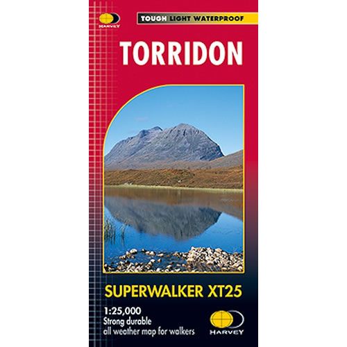
Torridon XT25 Superwalker Map
This is a detailed map of the Torridon and Kinlochewe in the Northwest Highlands of Scotland, and is ideal hillwalkers, hikers, climbers, and mountaineers. This Torridon...
Regular price £15.95 GBPSale price £15.95 GBP Regular priceUnit price perSale Sold out -
Sports & Hobbies
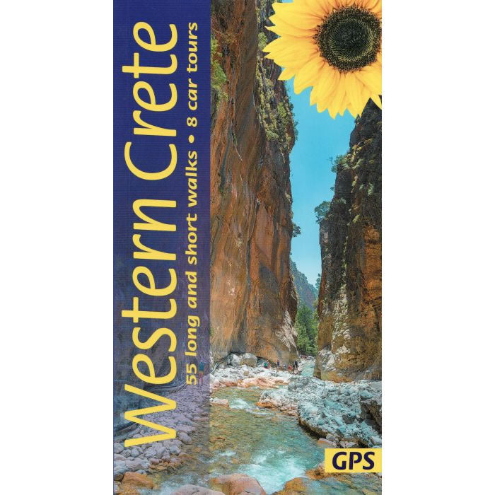
Western Crete Car Tours and Walks Guidebook by Sunflower
This guidebook describes 55 of the best long and short walks in Western Crete, plus 8 car tours. It covers the west of Crete, from the...
Regular price £15.95 GBPSale price £15.95 GBP Regular priceUnit price perSale Sold out -
Sports & Hobbies
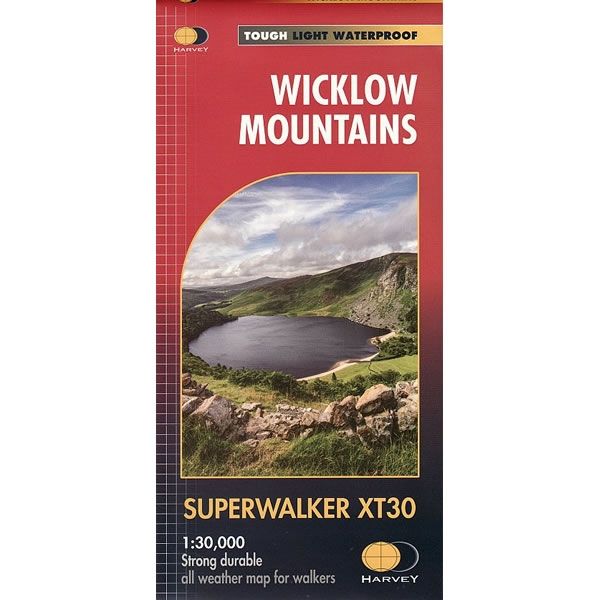
Wicklow Mountains Superwalker Map
This Wicklow Mountains Superwalker Map is a detailed map for hillwalkers of the Wicklow National Park at a scale of 1:30,000.It includes the spectacular Glendalough area...
Regular price £15.95 GBPSale price £15.95 GBP Regular priceUnit price perSale Sold out -
Sports & Hobbies
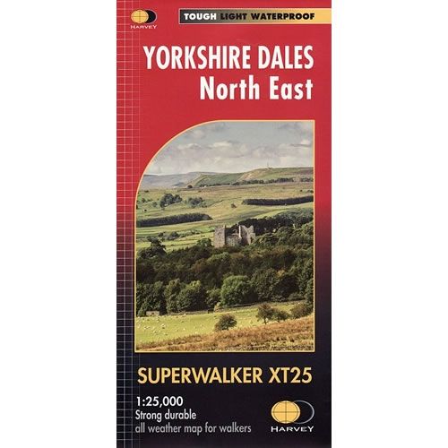
Yorkshire Dales North East XT25 Superwalker Map
This is a detailed map of the north eastern part of the Yorkshire Dales National Park and is ideal for hillwalkers, hikers, climbers, and cyclists. This...
Regular price £15.95 GBPSale price £15.95 GBP Regular priceUnit price perSale Sold out -
Sports & Hobbies
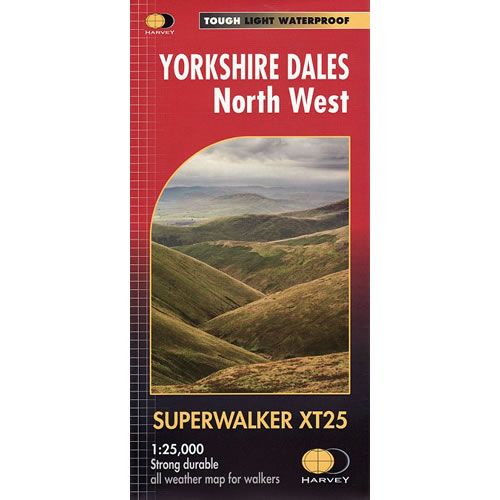
Yorkshire Dales North West XT25 Superwalker Map
This is a detailed map of the north western part of the Yorkshire Dales National Park and is ideal for hillwalkers, hikers, climbers, and cyclists. This...
Regular price £15.95 GBPSale price £15.95 GBP Regular priceUnit price perSale Sold out -
Sports & Hobbies
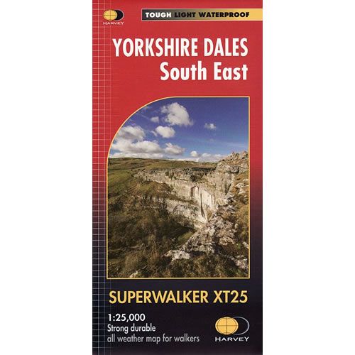
Yorkshire Dales South East XT25 Superwalker Map
This is a detailed map of the south eastern part of the Yorkshire Dales National Park and is ideal for hillwalkers, hikers, climbers, and cyclists. This...
Regular price £15.95 GBPSale price £15.95 GBP Regular priceUnit price perSale Sold out -
Sports & Hobbies
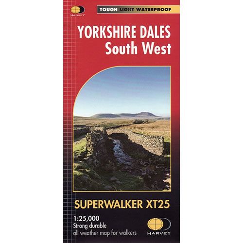
Yorkshire Dales South West XT25 Superwalker Map
This is a detailed map of the south western part of the Yorkshire Dales National Park and is ideal for hillwalkers, hikers, climbers, and cyclists. This...
Regular price £15.95 GBPSale price £15.95 GBP Regular priceUnit price perSale Sold out -
Sports & Hobbies
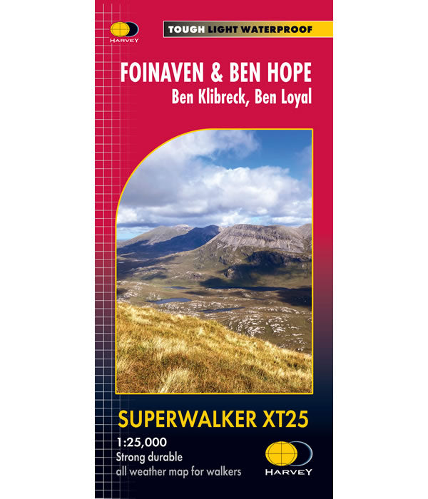
Foinaven and Ben Hope Superwalker XT25
This ia a Superwalker Map for hillwalkers covering Foinaven and Ben Hope at the popular scale of 1:25,000. This is a wild and remote walking area...
Regular price £15.95 GBPSale price £15.95 GBP Regular priceUnit price perSale Sold out -
Sports & Hobbies
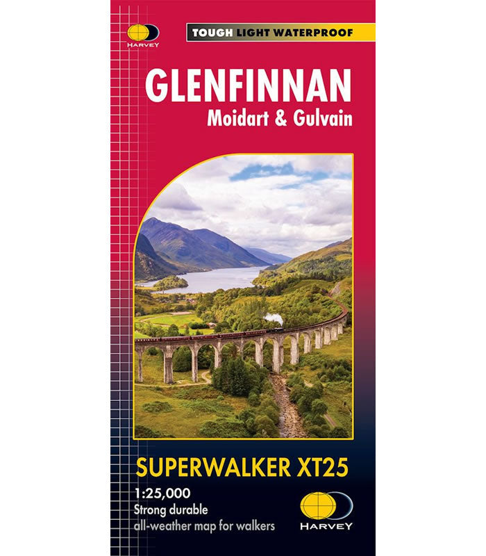
Glenfinnan Superwalker Map XT25
This Glenfinnan Superwalker Map XT25 covers the Glenfinnan area featuring theiconic Glenfinnan Viaduct, famous from the Harry Potter Films. It also covers Gulvain, Moidart, Loch Shiel...
Regular price £15.95 GBPSale price £15.95 GBP Regular priceUnit price perSale Sold out -
Sports & Hobbies
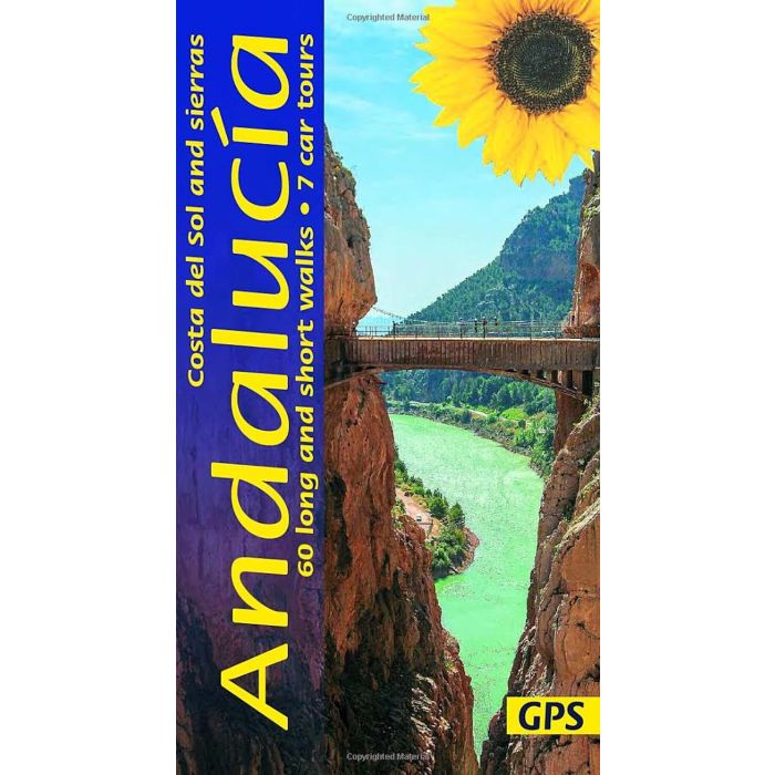
Andalucia, Costa del Sol and Sierras car tours and walks Guidebook
This guidebook describes 60 short and long walks, plus 7 car tours in the Andalucia region of Spain near Marbella. The guidebooks covers walks in the...
Regular price £15.99 GBPSale price £15.99 GBP Regular priceUnit price perSale Sold out -
Sports & Hobbies
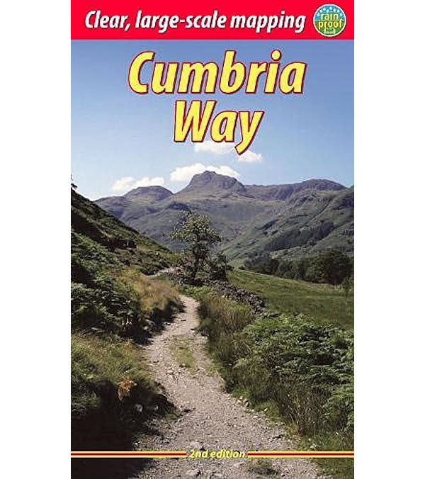
Cumbria Way Rucksack Reader Guidebook
This Rucksack Readers guidebook describes the Cumbria Way from Ulverston to the historic border city of Carlisle. The Cumbria Way is 73 miles (123 km) long...
Regular price £15.99 GBPSale price £15.99 GBP Regular priceUnit price perSale Sold out -
Sports & Hobbies
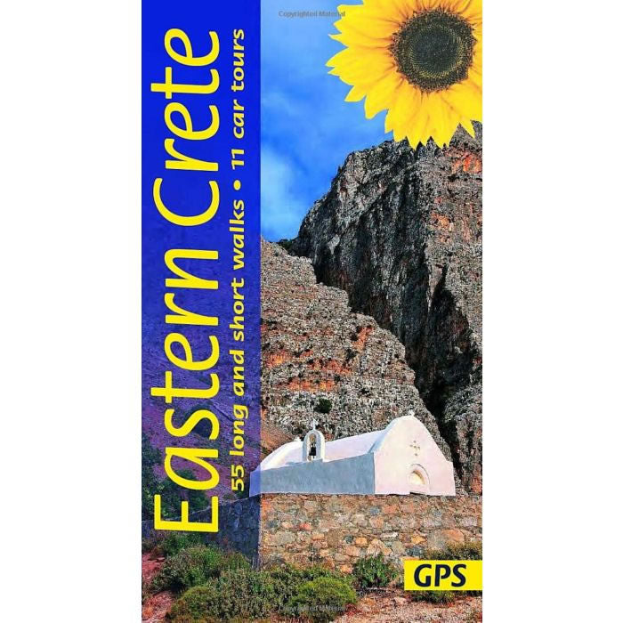
Eastern Crete Car Tours and Walks Guidebook
This guidebook describes 55 long and short walks in Eastern Crete, plus 11 car tours.Each walk is fully described, and illustrated with an appropriate map, plus...
Regular price £15.99 GBPSale price £15.99 GBP Regular priceUnit price perSale Sold out -
Sports & Hobbies
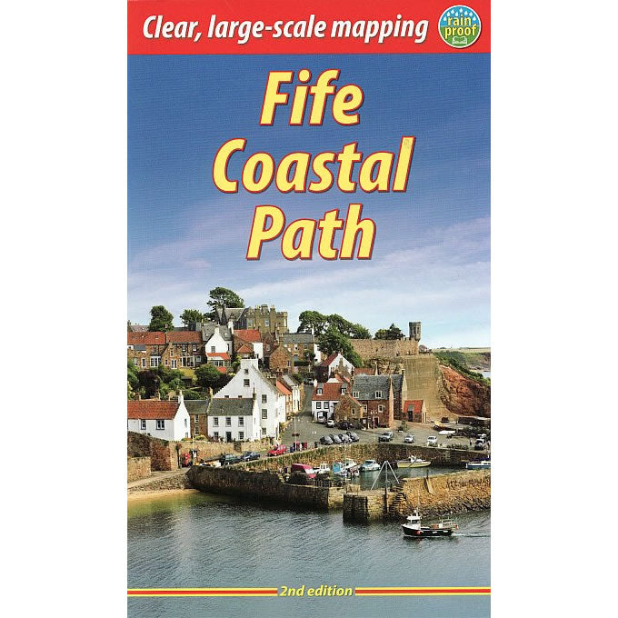
Fife Coastal Path Rucksack Reader Guidebook
This is a comprehensive guidebook describing the Fife Coastal Path Route. The Fife Coastal Path runs around the coastline of eastern Scotland for 117 miles (188 km)...
Regular price £15.99 GBPSale price £15.99 GBP Regular priceUnit price perSale Sold out -
Sports & Hobbies
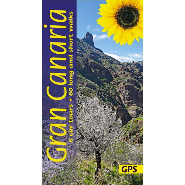
Gran Canaria Car Tours and Walks Guidebook
This guidebook describes 60 long and short walks and 6 car tours around Gran Canaria. The walking routes are suitable for all abilities and include both...
Regular price £15.99 GBPSale price £15.99 GBP Regular priceUnit price perSale Sold out -
Sports & Hobbies
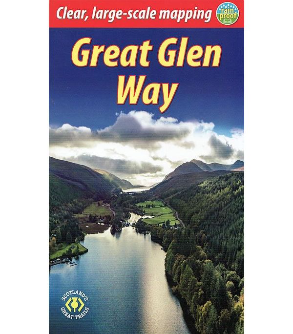
Great Glen Way Guidebook
This is a guidebook describing the Great Glen Way in Scotland that is 77 miles (124km) long. This long distance path starts at Fort William and...
Regular price £15.99 GBPSale price £15.99 GBP Regular priceUnit price perSale Sold out -
Sports & Hobbies
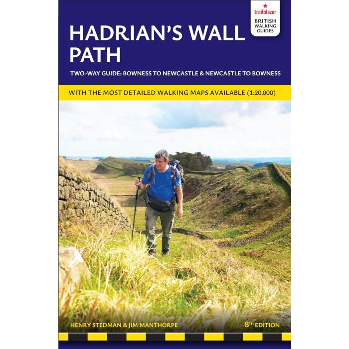
Hadrian's Wall Path Trailblazer Guidebook
This is an all-in-one guidebook to walking Hadrian's Wall Path National Trail.Hadrian's Wall Path, is 84 miles from end to end, and it follows the course...
Regular price £15.99 GBPSale price £15.99 GBP Regular priceUnit price perSale Sold out -
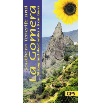
Sports & Hobbies
La Gomera and South Tenerife Walking Guidebook
This guidebook describes 50 long and short walks throughout the whole of La Gomera and 20 walks in South and West Tenerife. In addition there are...
Regular price £15.99 GBPSale price £15.99 GBP Regular priceUnit price perSale Sold out -
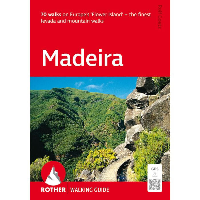
Sports & Hobbies
Madeira, the Finest Levada and Mountain Walks Guidebook
This guidebook describes 70 of the best Levada and mountain walks in Madeira that are suitable for a wide range of abilities. The the sophisticated network...
Regular price £15.99 GBPSale price £15.99 GBP Regular priceUnit price perSale Sold out -
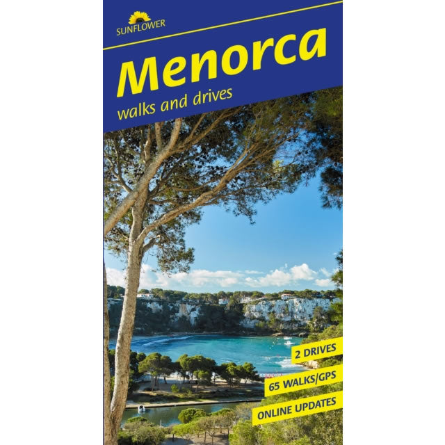
Sports & Hobbies
Menorca Car Tours and Walks Guidebook
This guidebook describes 65 long and short walks, plus 2 car tours on the island of Menorca.For each walk there is a detailed route description that...
Regular price £15.99 GBPSale price £15.99 GBP Regular priceUnit price perSale Sold out -
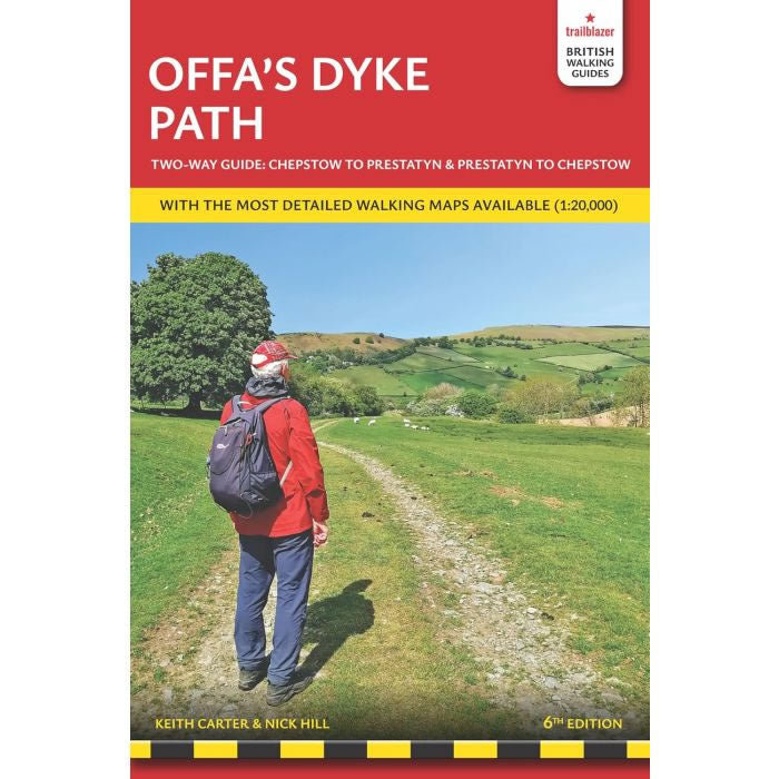
Sports & Hobbies
Offa's Dyke Path Trailblazer Guidebook
This Offa's Dyke Path Trailblazer Guidebook describes the the superb Offa's Dyke National Trail that runs from Prestatyn on to North Wales coast To Chepstow and...
Regular price £15.99 GBPSale price £15.99 GBP Regular priceUnit price perSale Sold out -
Sports & Hobbies
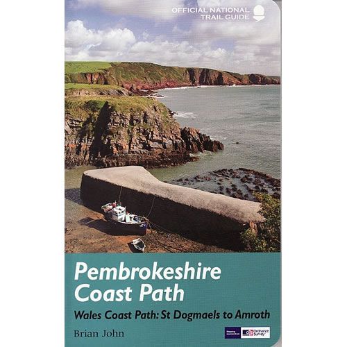
Pembrokeshire Coast Path Official Guidebook
This is the official guidebook describing the Pembrokeshire Coast Path National Trail that is 180 miles of cliff tops, beaches and coves around the magnificent Welsh...
Regular price £15.99 GBPSale price £15.99 GBP Regular priceUnit price perSale Sold out -
Sports & Hobbies
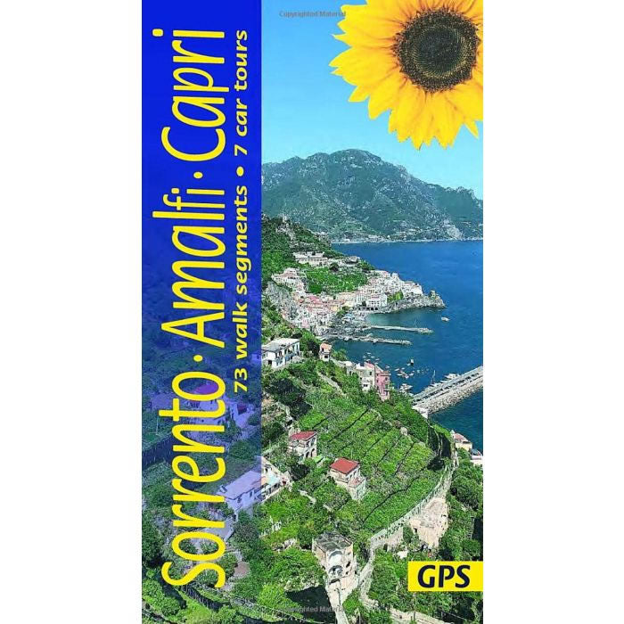
Sorrento, Amalfi and Capri Car Tours and Walks Guidebook
This guidebook describes 73 walks, plus 7 car tours along the Amalfi Coast including Sorrento and the island of Capri.The guidebook covers entire Amalfi (Sorrento) Peninsula,...
Regular price £15.99 GBPSale price £15.99 GBP Regular priceUnit price perSale Sold out -
Sports & Hobbies
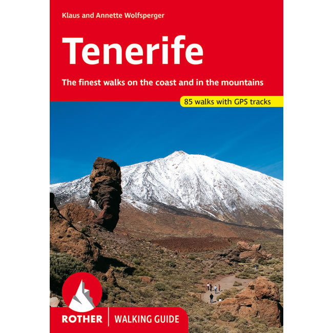
Tenerife Walking Guidebook
This walking guidebook for Tenerife describes 85 of the finest walks on the coast and in the mountains all over Tenerife. This range of 85 walks...
Regular price £15.99 GBPSale price £15.99 GBP Regular priceUnit price perSale Sold out -
Sports & Hobbies
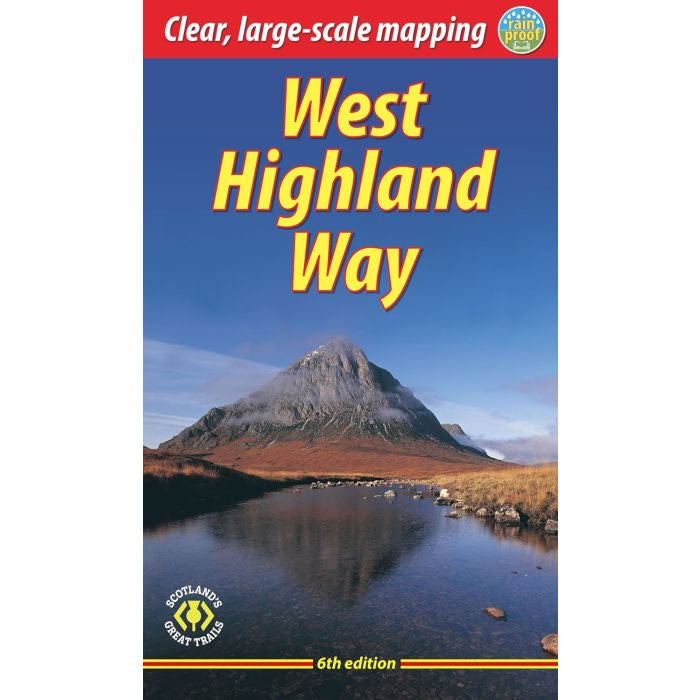
West Highland Way Rucksack Reader Guidebook
This guidebook describes the West Highland Way in Scotland that is 96 miles (154 km) long. The West Highland Way remains the most famous, of Scotland’s...
Regular price £15.99 GBPSale price £15.99 GBP Regular priceUnit price perSale Sold out


