
-
Sports & Hobbies
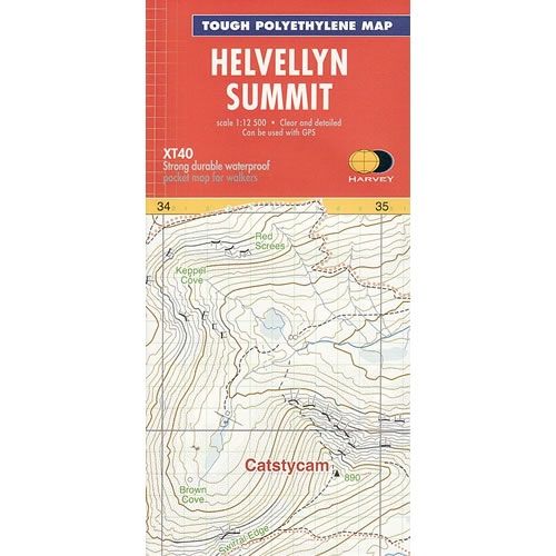
Helvellyn Summit Map
This Helvellyn Summit Map is an enlarged map for hillwalkers covering the summit of Helvellyn at a scale of 1:12,500.The map covers an area approximately 3km...
Regular price £8.50 GBPSale price £8.50 GBP Regular priceUnit price perSale Sold out -
Sports & Hobbies
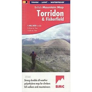
Torridon British Mountain Map
This Torridon Map details the mountains of Torridon and the remote hills of Fisherfield on one sheet at a scale of 1:40,000.The map includes 18 Munros,...
Regular price £18.95 GBPSale price £18.95 GBP Regular priceUnit price perSale Sold out -
Sports & Hobbies
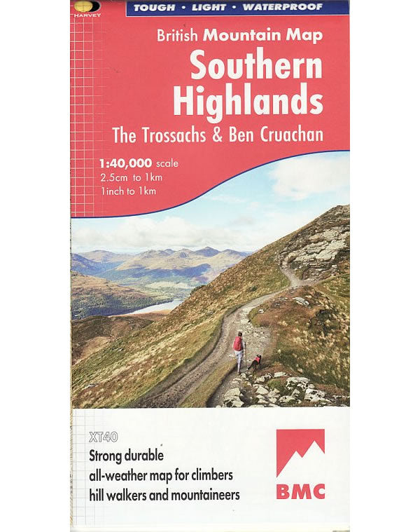
Southern Highlands British Mountain Map
This Southern Highlands Map covers the main part of the Loch Lomond and the Trossachs National Park, plus an additional section showing Ben Cruachan and Ben...
Regular price £18.95 GBPSale price £18.95 GBP Regular priceUnit price perSale Sold out -
Sports & Hobbies
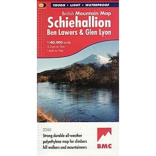
Schiehallion, Ben Lawers and Glen Lyon Mountain Map
This Schiehallion, Ben Lawers and Glen Lyon Mountain Map covers 42 challenging Perthshire hills on one sheet in an area to the north of Lock Lomond.The...
Regular price £18.95 GBPSale price £18.95 GBP Regular priceUnit price perSale Sold out -
Sports & Hobbies
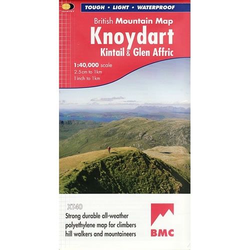
Knoydart British Mountain Map
This Knoydart Mountain Map covers ëBritain's last wildernessí that includes Kintail and Glen Affric. The Knoydart Mountains are located between Fort William and Torridon in the...
Regular price £18.95 GBPSale price £18.95 GBP Regular priceUnit price perSale Sold out -
Sports & Hobbies
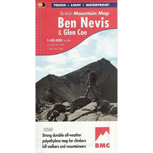
Ben Nevis Mountain Map
This Ben Nevis Mountain Map is a detailed map for hillwalkers and climbers of Ben Nevis and Glen Coe at a scale of 1:40,000. The summit...
Regular price £18.95 GBPSale price £18.95 GBP Regular priceUnit price perSale Sold out -
Sports & Hobbies
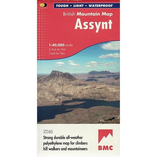
Assynt Mountain Map
This Assynt Mountain Map is a detailed map for hillwalkers and climbers of the spectacular sandstone peaks of Assynt, in the northern Highlands at a scale...
Regular price £18.95 GBPSale price £18.95 GBP Regular priceUnit price perSale Sold out -
Sports & Hobbies
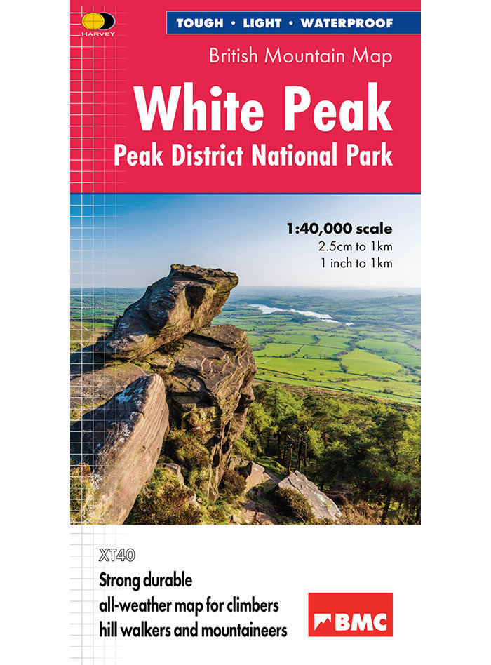
White Peak District British Mountain Map
This White Peak Map details the hills and dales of the White Peak District on a single map at a scale of 1:40,000. The White Peak...
Regular price £18.95 GBPSale price £18.95 GBP Regular priceUnit price perSale Sold out -
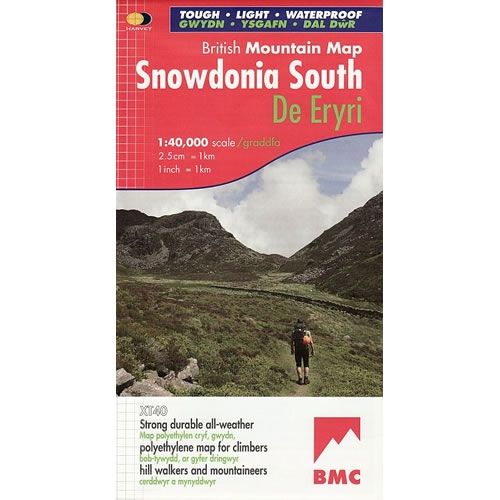
Sports & Hobbies
Snowdonia South Map including Cadair Idris
This Snowdonia South Map details the key mountains of Southern part of Snowdonia National Park (De Eryri), on one map at a scale of 1:40,000. Key...
Regular price £18.95 GBPSale price £18.95 GBP Regular priceUnit price perSale Sold out -
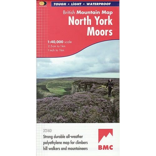
Sports & Hobbies
North York Moors Map
This North York Moors Map covers the North York Moors National Park on one sheet, at a scale of 1:40,000. It includes the popular North Yorkshire...
Regular price £18.95 GBPSale price £18.95 GBP Regular priceUnit price perSale Sold out -
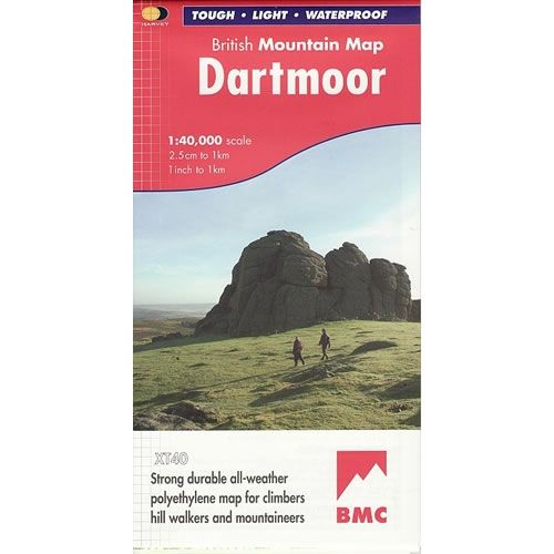
Sports & Hobbies
Dartmoor Map
This Dartmoor Map details the peaks and Tors of the whole of Dartmoor National Park on one map at a scale of 1:40,000.Harvey British Mountain Maps...
Regular price £18.95 GBPSale price £18.95 GBP Regular priceUnit price perSale Sold out -
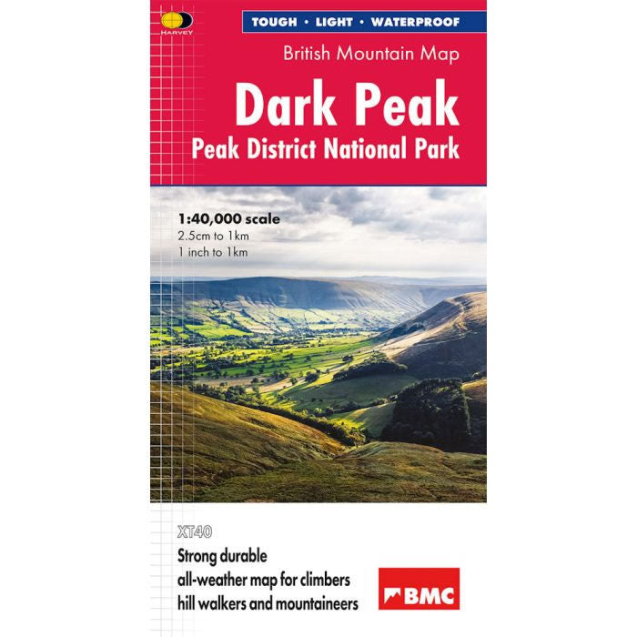
Sports & Hobbies
Dark Peak Map
This Dark Peak Map details the Dark Peak's famous Moorland Hills and Edges on a single sheet at a scale of 1:40,000. This map of the...
Regular price £18.95 GBPSale price £18.95 GBP Regular priceUnit price perSale Sold out -

Sports & Hobbies
Mull, Iona and Ulva XT25 Superwalker Map
This walking map shows the mountains of Mull in the eastern part of the island, plus the islands of Iona and Ulva at a scale of...
Regular price £17.50 GBPSale price £17.50 GBP Regular priceUnit price perSale Sold out -
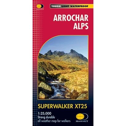
Sports & Hobbies
Arrochar Alps XT25 Superwalker Map
This walking map of the Arrochar Alps is a detailed map for hillwalkers covering the western part of the Loch Lomond and Trossachs National Park at...
Regular price £15.95 GBPSale price £15.95 GBP Regular priceUnit price perSale Sold out -
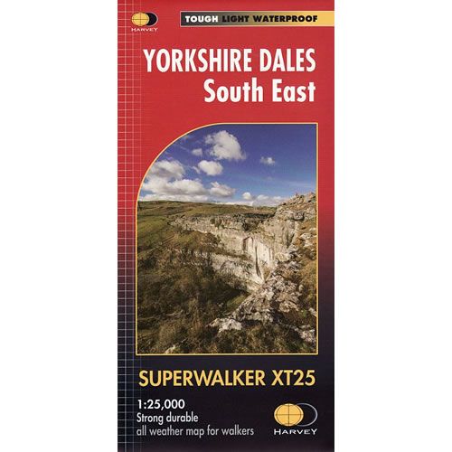
Sports & Hobbies
Yorkshire Dales South East XT25 Superwalker Map
This is a detailed map of the south eastern part of the Yorkshire Dales National Park and is ideal for hillwalkers, hikers, climbers, and cyclists. This...
Regular price £15.95 GBPSale price £15.95 GBP Regular priceUnit price perSale Sold out -
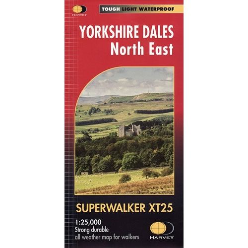
Sports & Hobbies
Yorkshire Dales North East XT25 Superwalker Map
This is a detailed map of the north eastern part of the Yorkshire Dales National Park and is ideal for hillwalkers, hikers, climbers, and cyclists. This...
Regular price £15.95 GBPSale price £15.95 GBP Regular priceUnit price perSale Sold out -
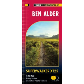
Sports & Hobbies
Ben Alder XT25 Superwalker Map
This is a detailed map of the remote area of Ben Alder that is ideal for hillwalkers, hikers and climbers. The map covers the Ben Alder...
Regular price £15.95 GBPSale price £15.95 GBP Regular priceUnit price perSale Sold out -
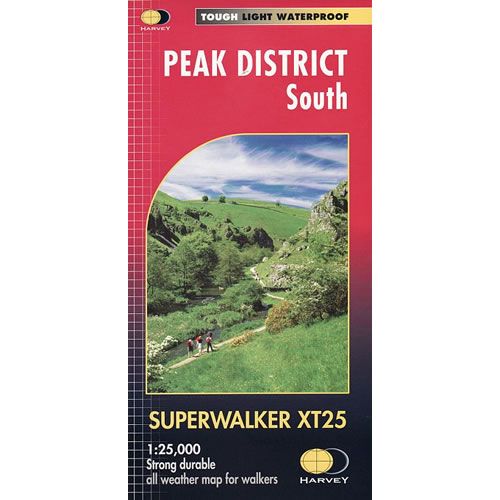
Sports & Hobbies
Peak District South XT25 Superwalker Map
This is a detailed map of the southern part of the Peak District and is ideal for hillwalkers and hikers. The map shows the White Peak...
Regular price £15.95 GBPSale price £15.95 GBP Regular priceUnit price perSale Sold out -
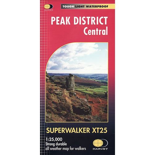
Sports & Hobbies
Peak District Central XT25 Superwalker Map
This is a detailed map for hillwalkers and hikers, showing the heart of the Peak District National Park. The map covers Edale, Kinder Scout, the Gritstone...
Regular price £15.95 GBPSale price £15.95 GBP Regular priceUnit price perSale Sold out -
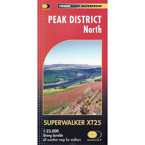
Sports & Hobbies
Peak District North XT25 Superwalker Map
This is a detailed map of the northern part of the Peak District and is ideal for hillwalkers and hikers. The map shows the Dark Peak...
Regular price £15.95 GBPSale price £15.95 GBP Regular priceUnit price perSale Sold out -
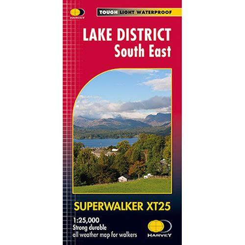
Sports & Hobbies
Lake District South East XT25 Superwalker Map
This is a detailed map of the south eastern Lake District and is ideal for hillwalkers, hikers, climbers, and cyclists. With Lake Windermere at its centre...
Regular price £15.95 GBPSale price £15.95 GBP Regular priceUnit price perSale Sold out -
Sports & Hobbies
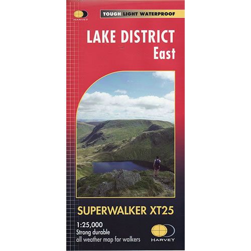
Lake District East XT25 Superwalker Map
This is a detailed map of the eastern part of the Lake District and is ideal for hillwalkers, hikers, climbers, and cyclists. The map covers Helvellyn,...
Regular price £15.95 GBPSale price £15.95 GBP Regular priceUnit price perSale Sold out -
Sports & Hobbies
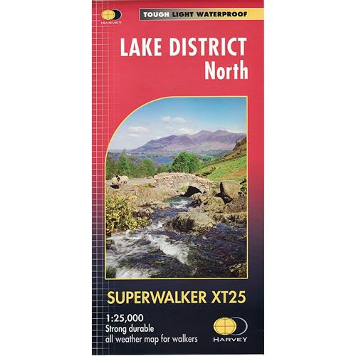
Lake District North XT25 Superwalker Map
This is a detailed map of the northern part of the Lake District and is ideal for hillwalkers, hikers, climbers, and cyclists. The map has Keswick...
Regular price £15.95 GBPSale price £15.95 GBP Regular priceUnit price perSale Sold out -
Sports & Hobbies
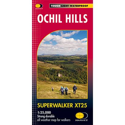
Ochil Hills XT25 Superwalker Map
This is a detailed map of the Ochil Hills that covers Dumyat, Ben Cleuch and Castle Craig Hill, and is ideal for hillwalkers and hikers. The...
Regular price £15.95 GBPSale price £15.95 GBP Regular priceUnit price perSale Sold out


