
-
Sports & Hobbies
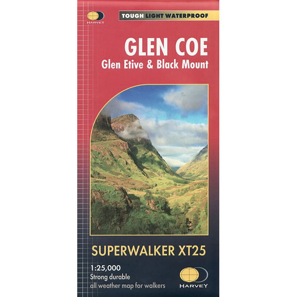
Glen Coe XT25 Superwalker Map
This is a detailed map of Glen Coe, including Glen Etive, and Black Mount at the popular 1:25,000 scale. It is ideal for walkers, hikers and...
Regular price £15.95 GBPSale price £15.95 GBP Regular priceUnit price perSale Sold out -
Sports & Hobbies
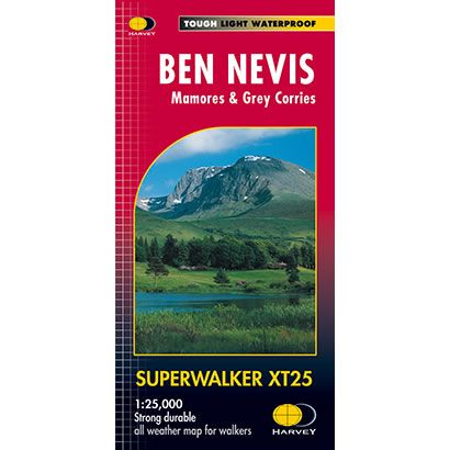
Ben Nevis XT25 Superwalker Map
This is a detailed map of Ben Nevis that is ideal for walkers and climbers alike. The map shows 23 Munros, including Ben Nevis, the Aonachs...
Regular price £15.95 GBPSale price £15.95 GBP Regular priceUnit price perSale Sold out -
Sports & Hobbies
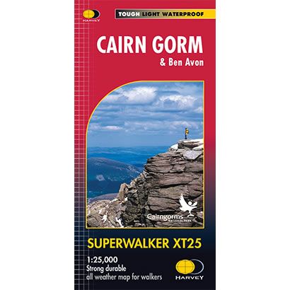
Cairn Gorm XT25 Superwalker Map
This is a detailed map of the Cairngorms and is ideal for hillwalkers, hikers and climbers. The map covers the Cairngorms from Coylumbridge through the Lairig...
Regular price £15.95 GBPSale price £15.95 GBP Regular priceUnit price perSale Sold out -
Sports & Hobbies
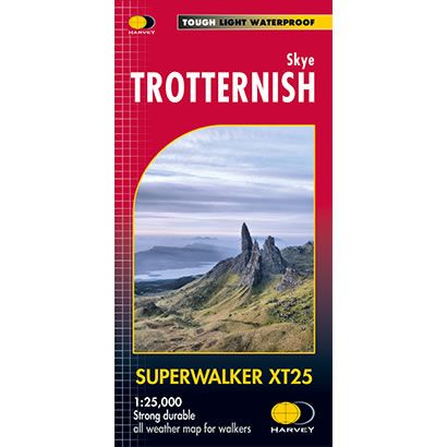
Skye Trotternish XT25 Superwalker Map
This is a detailed map of the whole of the Trotternish Ridge on the island of Skye at a scale of 1:25,000. The map also shows...
Regular price £15.95 GBPSale price £15.95 GBP Regular priceUnit price perSale Sold out -
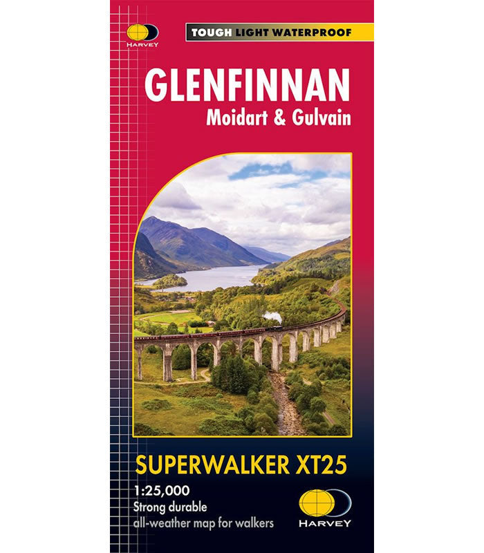
Sports & Hobbies
Glenfinnan Superwalker Map XT25
This Glenfinnan Superwalker Map XT25 covers the Glenfinnan area featuring theiconic Glenfinnan Viaduct, famous from the Harry Potter Films. It also covers Gulvain, Moidart, Loch Shiel...
Regular price £15.95 GBPSale price £15.95 GBP Regular priceUnit price perSale Sold out -
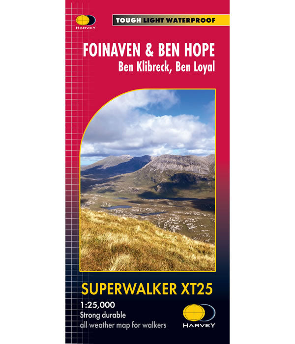
Sports & Hobbies
Foinaven and Ben Hope Superwalker XT25
This ia a Superwalker Map for hillwalkers covering Foinaven and Ben Hope at the popular scale of 1:25,000. This is a wild and remote walking area...
Regular price £15.95 GBPSale price £15.95 GBP Regular priceUnit price perSale Sold out -
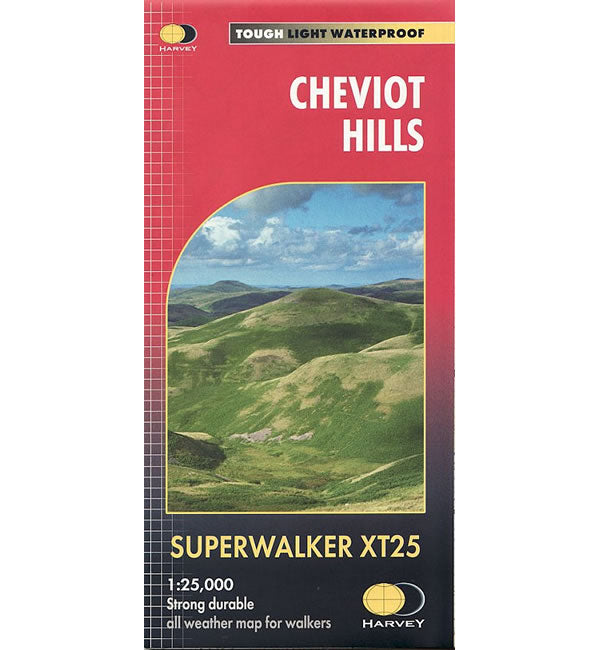
Sports & Hobbies
Cheviot Hills XT25 Superwalker Map
This Cheviot Hills XT25 Superwalker Map is a detailed map for hillwalkers and cyclists of the Cheviot, Newton Tors and Kirknewton at a scale of 1:25,000....
Regular price £15.95 GBPSale price £15.95 GBP Regular priceUnit price perSale Sold out -
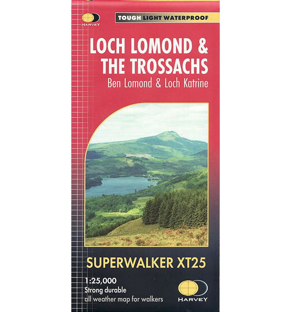
Sports & Hobbies
Loch Lomond and The Trossachs XT25 Map
This is a detailed map of Loch Lomond and the Trossachs that is ideal for hillwalkers and hikers at a scale of 1:25,000. This map shows...
Regular price £15.95 GBPSale price £15.95 GBP Regular priceUnit price perSale Sold out -
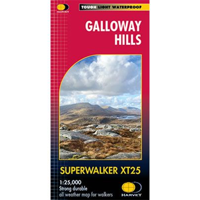
Sports & Hobbies
Galloway Hills XT25 Superwalker Map
This is a detailed map of the Galloway Hills that form part of the Southern Uplands of Scotland, at a scale of 1:25,000. This map is aimed...
Regular price £15.95 GBPSale price £15.95 GBP Regular priceUnit price perSale Sold out -
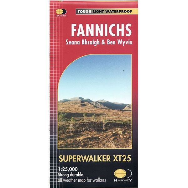
Sports & Hobbies
Fannichs XT25 Superwalker Map
This Fannichs XT25 Superwalker Map is a detailed map for hillwalkers of the Fannichs Ridge at a scale of 1:25,000. The Fannichs Ridge is located to...
Regular price £15.95 GBPSale price £15.95 GBP Regular priceUnit price perSale Sold out -

Sports & Hobbies
Forest of Bowland Superwalker Map
The Forest of Bowland in Lancashire has a lot to offer walkers, horseriders and cyclists, and this practical map will help you to explore this beautiful...
Regular price £15.95 GBPSale price £15.95 GBP Regular priceUnit price perSale Sold out -
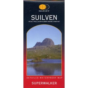
Sports & Hobbies
Suilven Superwalker Map
This Suilven Superwalker Map covers a spectacular group of hills in the northern Scottish Highlands, that is popular with walkers and climbers including the peaks of...
Regular price £11.50 GBPSale price £11.50 GBP Regular priceUnit price perSale Sold out -
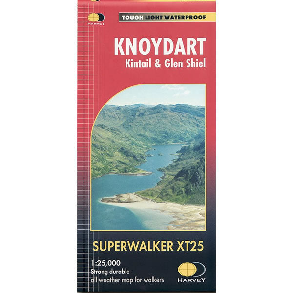
Sports & Hobbies
Knoydart Superwalker Map
This Knoydart Superwalker Map covers an area in the remote and beautiful Highlands that is often known as 'Scotland's last wilderness', and includes Kintail and Glen...
Regular price £15.95 GBPSale price £15.95 GBP Regular priceUnit price perSale Sold out -
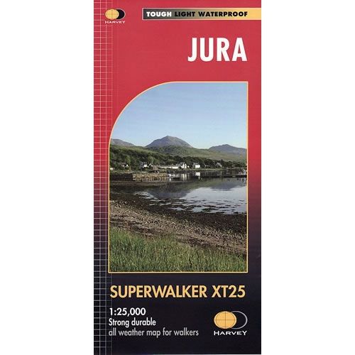
Sports & Hobbies
Jura XT25 Superwalker Map
This Jura XT25 Superwalker Map is a detailed map for hillwalkers showing the whole of the Isle of Jura at a scale of 1:25,000. It includes...
Regular price £15.95 GBPSale price £15.95 GBP Regular priceUnit price perSale Sold out -
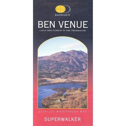
Sports & Hobbies
Ben Venue Superwalker Map
This Ben Venue Superwalker Map is a detailed map for hillwalkers covering the south eastern part of the Loch Lomond and Trossachs National Park at a...
Regular price £11.50 GBPSale price £11.50 GBP Regular priceUnit price perSale Sold out -
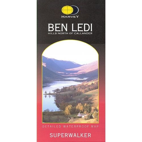
Sports & Hobbies
Ben Ledi Superwalker Map
This Ben Ledi Superwalker Map covers the eastern part of Loch Lomond and the Trossachs National Park. It cover an area from Aberfoyle and Callande min...
Regular price £11.50 GBPSale price £11.50 GBP Regular priceUnit price perSale Sold out -

Sports & Hobbies
An Teallach Superwalker Map
This An Teallach Superwalker Map covers An Teallach and Fisherfield to the north of Torridon. The area is a spectacular group of remote northerly Munros popular...
Regular price £15.95 GBPSale price £15.95 GBP Regular priceUnit price perSale Sold out -
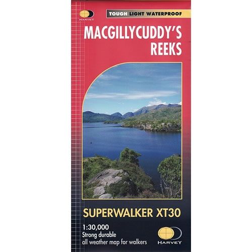
Sports & Hobbies
Macgillycuddy's Reeks XT30 Superwalker Map
This Macgillycuddy's Reeks XT30 Superwalker Map shows the whole of the Killarney National Park at a scale of 1:30,000. It shows tracks, paths and cliffs in...
Regular price £15.95 GBPSale price £15.95 GBP Regular priceUnit price perSale Sold out -
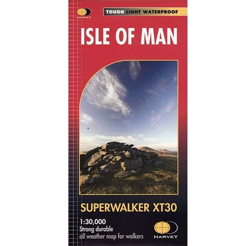
Sports & Hobbies
Isle of Man XT30 Superwalker Map
This Isle of Man XT30 Superwalker Map includes long distance routes, and rights of way. This detailed map for hillwalkers covering the whole island on two...
Regular price £15.95 GBPSale price £15.95 GBP Regular priceUnit price perSale Sold out -
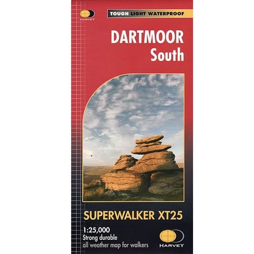
Sports & Hobbies
Dartmoor South XT25 Superwalker Map
This Dartmoor South XT25 Superwalker Map is a detailed map for hillwalkers covering the southern part of Dartmoor National Park at a scale of 1:25,000.The map...
Regular price £15.95 GBPSale price £15.95 GBP Regular priceUnit price perSale Sold out -
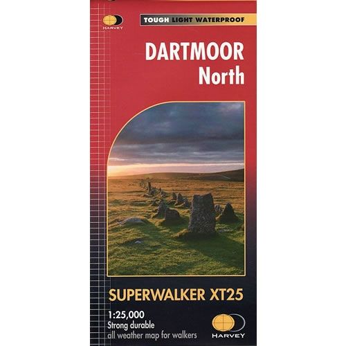
Sports & Hobbies
Dartmoor North XT25 Superwalker Map
This Dartmoor North XT25 Superwalker Map is a detailed map for hillwalkers covering the northern part of Dartmoor National Park at a scale of 1:25,000.The map...
Regular price £15.95 GBPSale price £15.95 GBP Regular priceUnit price perSale Sold out -
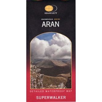
Sports & Hobbies
Snowdonia Arans Superwalker Map
This Arans Superwalker Map is a detailed map for hillwalkers covering the Arans in Snowdonia National Park at a scales of 1:25,000. Along the Aran ridge,...
Regular price £11.50 GBPSale price £11.50 GBP Regular priceUnit price perSale Sold out -
Sports & Hobbies
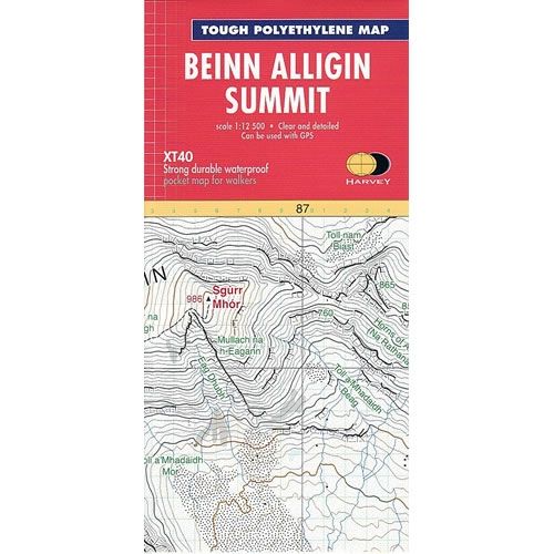
Ben Alligin Summit Map
This Ben Alligin Summit Map is an enlarged map for hillwalkers covering the summit ridge of Ben Alligin at a scale of 1:12,500. Ben Alligin one...
Regular price £8.50 GBPSale price £8.50 GBP Regular priceUnit price perSale Sold out -
Sports & Hobbies
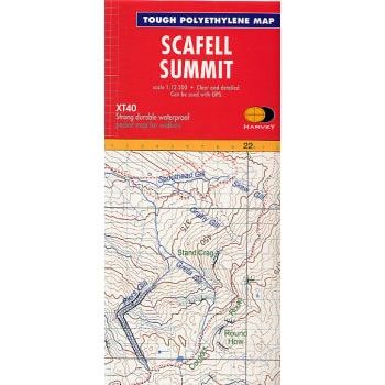
Scafell Summit Map
This Scafell Summit Map is an enlarged map for hillwalkers covering the summit of Scafell at 1:12,500 scale, the highest mountain in EnglandThe map covers an...
Regular price £8.50 GBPSale price £8.50 GBP Regular priceUnit price perSale Sold out


