Bornes Aravis rock climbing guidebook
Couldn't load pickup availability
Description
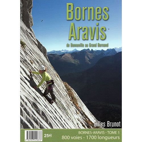
This guidebook describes 800 routes in the Bornes-Aravis area of the French Alps, of which the majority are multi-pitch routes. The area is situated between Chamonix (to the east), Annecy (to the west), and Genève (to the north).
Most of the routes described in this guidebook are big multi-pitch climbs across a wide range of grades, at an altitude between 550m and 2,300m. The routes tend to be bolted but it is advisable to also take some trad gear as well. In total the guidebook covers 800 routes that equates to 1,700 pitches across 35 crags.
The guidebook is split into 3 main areas, these being; Grand-Bornand area; Petit Bornand area; and the Bonneville – Cluses area. All the routes are shown on a mixture of colour photo topos and colour detailed topos along with a description. For each crag there is access information, a location map, and GPS co-ordinates for the parking areas. Symbols indicate the style of climbing to be found, altitude, crag orientation, and the best time of the year to climbing there.
The Giffre, Risse, and Foron rock climbing guidebook covers an area immediately to the north of the area covered in this guidebook, to the north of Cluses.
Published in March 2017 this guidebook is in French text throughout but a large amount of information is conveyed by symbols and easy-to-follow information.
Number of pages is 196.
Size is 150mm x 210mm (A5).
ISBN is 9782903420833.