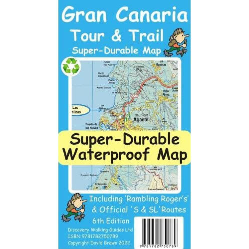
Gran Canaria Tour and Trail Map
Couldn't load pickup availability
Description
This Gran Canaria Tour and Trail Super-Durable Map covers the island of Gran Canaria at a scale of 1:50,000. The map is printed on both sides, with the northern section of the map on one side and the southern section on the other side, with a generous overlap between the 2 sides.
The map shows a great network of walking and hiking trails all across Gran Canaria. The map shows the official network of SL walking routes, highlighted in green, and the “Rambling Roger” walking trails that are highlighted in red.
Published by Discovery Walking Guides in February 2022, this is the updated 6th Edition of this Gran Canaria Tour and Trail Map.
This Gran Canaria Super-Durable map is water-proof, split-proof, tear-proof and adventure-proof that can take the roughest treatment and still folds up like new after your adventure. Backed up with a 2-year guarantee these Super-Durable maps have a special concertina map fold that means they easily unfold when in use, and more importantly folds back up easily to its compact pocket size even after the toughest of use.

