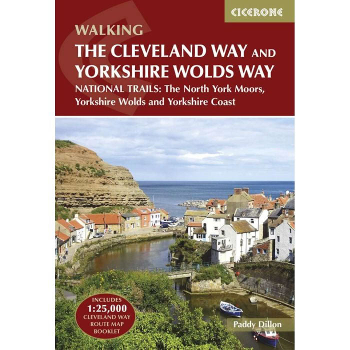
Cleveland Way and the Yorkshire Wolds Way Cicerone Guidebook
Couldn't load pickup availability
Description
This Cicerone walking Guidebook describes two National Trails the Cleveland Way and the Yorkshire Wolds Way. Also included is the Tabular Hills Walk so that the three routes can be joined to create an easy circular route of over 250 miles (400km) long. Combined they cross the North York Moors National Park, coastal scenery and quiet countryside. It includes a separate OS map booklet at a scale of 1:25,000 of the Cleveland Way.
The guidebook includes step-by-step route descriptions alongside OS maps at a scale of 1:50,000 for all 3 routes:
- The Cleveland Way covers 117km (110 miles) between Helmsley and Filey. The route is presented in 9 stages between 15 and 28km (10–17 miles) in length.
- The Yorkshire Wolds Way covers 130km (80 miles).
- The Tabular Hills Walk covers 80km (50 miles).
The book features a trek planner that highlights information about accommodation, facilities and public transport along the route.
Published by Cicerone Press in June 2024, this is the revised 3rd edition of this Cleveland Way and the Yorkshire Wolds Way guidebook.

