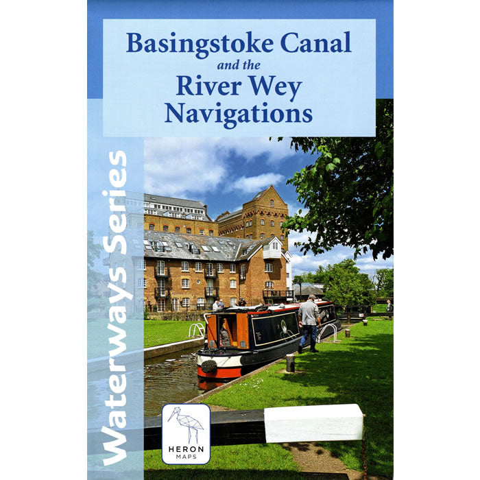
Basingstoke Canal and the River Wey Navigations Heron Map
Couldn't load pickup availability
Description
This Heron waterways map covers the Basingstoke Canal and the River Wey Navigations at a scale of 1:45,000. The map provides detailed information for both waterways and leisure users, and it is complimented by information panels and photographs.
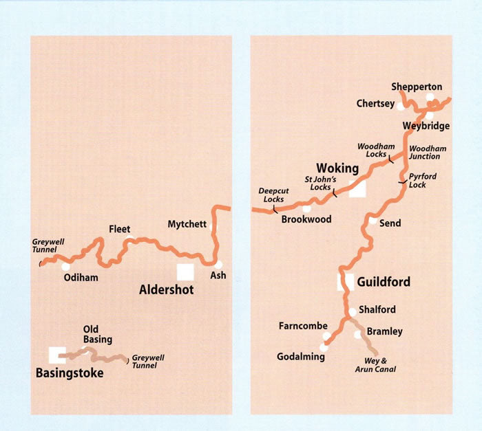
The Basingstoke Canal winds through the heart of Hampshire and Surrey, offering 32 miles of peaceful cruising, rich wildlife and unspoilt English countryside. It runs from Greywell in Hampshire to Byfleet in Surrey where it meets the River Wey Navigation.
The picturesque River Wey Navigation stretches 20 miles from the River Thames at Weybridge south to Guildford. From there it continues a further 4 miles south to Godalming along the Godalming Navigation.
The map is double sided with side 1 detailing the Basingstoke Canal (Basingstoke to Deepcut), whilst side 2 details the Basingstoke Canal (Deepcut to Woodham Junction) and the River Wey Navigations (Weybridge through Byfleet, Guildford and Shalford to Godalming). The map includes detailed town plans of Fleet, Odiham, Woking, Guildford, and Godalming, at a scale of 1:12,500.
The map includes navigation and historical information, visitor moorings, marinas and boatyards, boat hire centres, facilities for the boat user, shops and distance markers. Information for visitors includes tourist information centres, places of interest, pubs, nature reserves, parks, churches, long distance footpaths, public toilets and caravan and camp sites.
Published by Heron Maps in 2025.
Scale is 1:45,000.
ISBN is 9781908851338.