-
Sports & Hobbies
OS Explorer Map OL21 - South Pennines
This OS Explorer OL21 Map covers the South Pennines, including Burnley, Hebden Bridge, Keighley and Todmorden. This area is criss-crossed by footpaths, including the Pennine Way...
Regular price £12.99 GBPSale price £12.99 GBP Regular priceUnit price perSale Sold out -
Sports & Hobbies
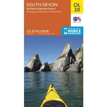
OS Explorer Map OL20 - South Devon, from Brixham to Newton Ferrers
This OS Explorer OL20 Map covers South Devon, from Brixham to Newton Ferrers.The map covers the southern part of Dartmoor National Park and the southern region...
Regular price £12.99 GBPSale price £12.99 GBP Regular priceUnit price perSale Sold out -
Sports & Hobbies
OS Explorer Map 274 - Skegness, Alford and Spilsby
This OS Explorer 274 Map covers Skegness, Alford and Spilsby, plus Chapel St Leonards and Wainfleet All Saints.The scale of this OS274 Explorer map is 1:25,000...
Regular price £12.99 GBPSale price £12.99 GBP Regular priceUnit price perSale Sold out -
Sports & Hobbies
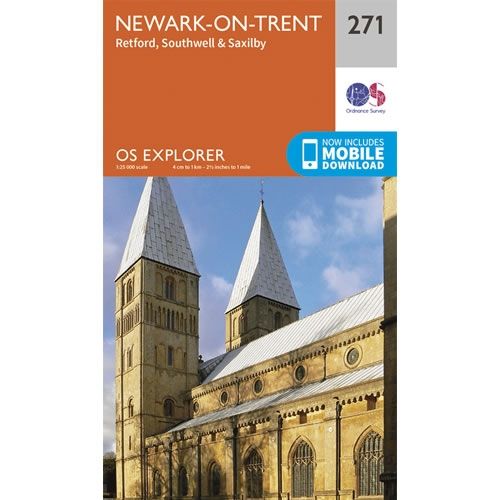
OS Explorer Map 271 - Newark-on-Trent
This OS Explorer 271 Map covers Newark-on-Trent, including Retford, Southwell and Saxilby.The scale of this OS271 Explorer map is 1:25,000 where 4cm equals 1km, or 2.5...
Regular price £12.99 GBPSale price £12.99 GBP Regular priceUnit price perSale Sold out -
Sports & Hobbies
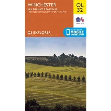
OS Explorer Map OL32 - Winchester, New Alresford and East Meon
This OS Explorer OL32 Map covers Winchester, including New Alresford and East Meon. The map shows part of the South Downs National Park, Winchester Cathedral, The...
Regular price £12.99 GBPSale price £12.99 GBP Regular priceUnit price perSale Sold out -
Sports & Hobbies
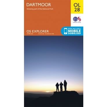
OS Explorer Map OL28 - Dartmoor
This OS Explorer OL28 Map covers Dartmoor National Park including Princetown, Buckfastleigh, The River Plym, and The Tarka Trail. Dartmoor National Park is the largest area...
Regular price £12.99 GBPSale price £12.99 GBP Regular priceUnit price perSale Sold out -
Sports & Hobbies
OS Explorer Map 266 - Wirral and Chester
This OS Explorer 266 Map covers Wirral and Chester, including Birkenhead, Bootle, Ellesmere Port, Heswall, Hoylake, Litherland, Neston and Wallasey.The scale of this OS266 Explorer map...
Regular price £12.99 GBPSale price £12.99 GBP Regular priceUnit price perSale Sold out -
Sports & Hobbies
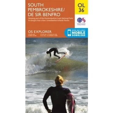
OS Explorer Map OL36 - South Pembrokeshire
This OS Explorer OL36 Map covers the southern part Pembrokeshire, including Tenby, Milford Haven, Pembroke and HaverfordwestThe scale of this OL 36 Explorer map is 1:25,000...
Regular price £12.99 GBPSale price £12.99 GBP Regular priceUnit price perSale Sold out -
Sports & Hobbies
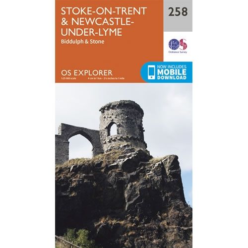
OS Explorer Map 258 - Stoke-on-Trent and Newcastle-under-Lyme
This OS Explorer 258 Map covers Stoke-on-Trent and Newcastle-under-Lyme, plus Leeks, Biddulph and Stone.The scale of this OS258 Explorer map is 1:25,000 where 4cm equals 1km,...
Regular price £12.99 GBPSale price £12.99 GBP Regular priceUnit price perSale Sold out -
Sports & Hobbies
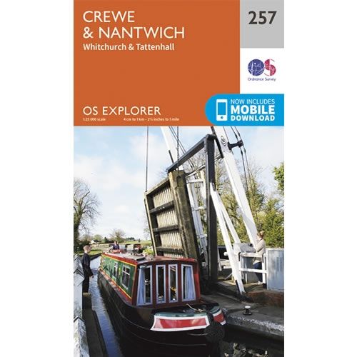
OS Explorer Map 257 - Crewe and Nantwich
This OS Explorer 257 Map covers Crewe and Nantwich, plus Whitchurch and Tattenhall.The scale of this OS257 Explorer map is 1:25,000 where 4cm equals 1km, or...
Regular price £12.99 GBPSale price £12.99 GBP Regular priceUnit price perSale Sold out -
Sports & Hobbies
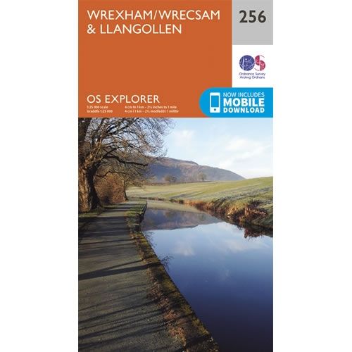
OS Explorer Map 256 - Wrexham and Llangollen
This OS Explorer 256 Map covers Wrexham and Llangollen.The scale of this OS256 Explorer map is 1:25,000 where 4cm equals 1km, or 2.5 inches equals 1...
Regular price £12.99 GBPSale price £12.99 GBP Regular priceUnit price perSale Sold out -
Sports & Hobbies
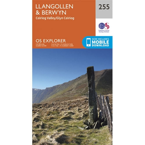
OS Explorer Map 255 - Llangollen and Berwyn
This OS Explorer 255 Map covers Llangollen and Berwyn, including the Ceiriog Valley.The scale of this OS255 Explorer map is 1:25,000 where 4cm equals 1km, or...
Regular price £12.99 GBPSale price £12.99 GBP Regular priceUnit price perSale Sold out -
Sports & Hobbies
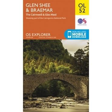
OS Explorer Map OL52 - Glen Shee and Braemar
This OS Explorer OL52 Map covers Glen Shee and Braemar, including the Cairnwell & Glas Maol. The map shows part of the Cairngorms National Park including...
Regular price £12.99 GBPSale price £12.99 GBP Regular priceUnit price perSale Sold out -
Sports & Hobbies
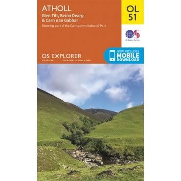
OS Explorer Map OL51 - Atholl
This OS Explorer OL51 Map covers Atholl, including Glen Tilt, Beinn Dearg and Carn nan Gabhar. The map shows part of the Cairngorms National Park including...
Regular price £12.99 GBPSale price £12.99 GBP Regular priceUnit price perSale Sold out -
Sports & Hobbies
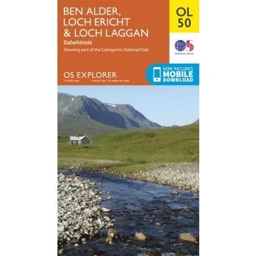
OS Explorer Map OL50 - Ben Alder, Loch Ericht and Loch Laggan
This OS Explorer OL50 Map covers Ben Alder, Loch Ericht, Loch Laggan, and Dalwhinnie. The map shows part of the Cairngorms National Park including 16 Munros.The...
Regular price £12.99 GBPSale price £12.99 GBP Regular priceUnit price perSale Sold out -
Sports & Hobbies
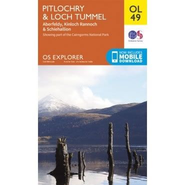
OS Explorer Map OL49 - Pitlochry and Loch Tummel
This OS Explorer OL49 Map covers Pitlochry and Loch Tummel , including Aberfeldy, Kinloch Rannoch, Schiehallion and part of the Cairngorms National Park.The scale of this...
Regular price £12.99 GBPSale price £12.99 GBP Regular priceUnit price perSale Sold out -
Sports & Hobbies
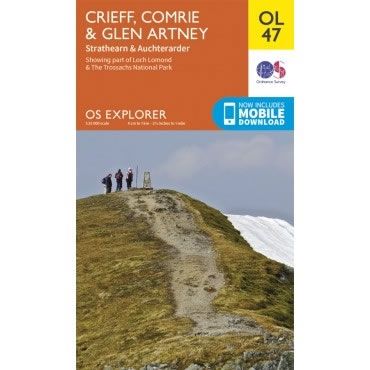
OS Explorer Map OL47 - Crieff, Comrie and Glen Artney
This OS Explorer OL47 Map covers Crieff, Comrie and Glen Artney, including Strathearn and Auchterarder.The map covers the eastern part of the Loch Lomond and The...
Regular price £12.99 GBPSale price £12.99 GBP Regular priceUnit price perSale Sold out -
Sports & Hobbies
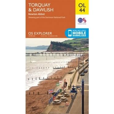
OS Explorer Map OL44 - Torquay, Dawlish and Newton Abbot
This OS Explorer OL44 Map covers Torquay, Dawlish, Teignmouth, Paignton, and Newton Abbot, along with the eastern edge of Dartmoor National Park.The scale of this OL...
Regular price £12.99 GBPSale price £12.99 GBP Regular priceUnit price perSale Sold out -
Sports & Hobbies
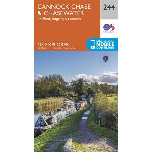
OS Explorer Map 244 - Cannock Chase
This OS Explorer 244 Map covers Cannock Chase, and Chasewater, plus the towns of Stafford, Rugeley and Cannock.The scale of this OS244 Explorer map is 1:25,000...
Regular price £12.99 GBPSale price £12.99 GBP Regular priceUnit price perSale Sold out -
Sports & Hobbies
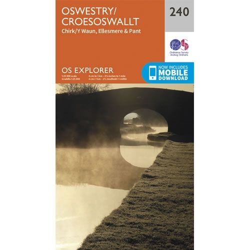
OS Explorer Map 240 - Oswestry
This OS Explorer 240 Map covers Oswestry, plus Chirk, Ellesmere and Pant.The scale of this OS240 Explorer map is 1:25,000 where 4cm equals 1km, or 2.5...
Regular price £12.99 GBPSale price £12.99 GBP Regular priceUnit price perSale Sold out -
Sports & Hobbies
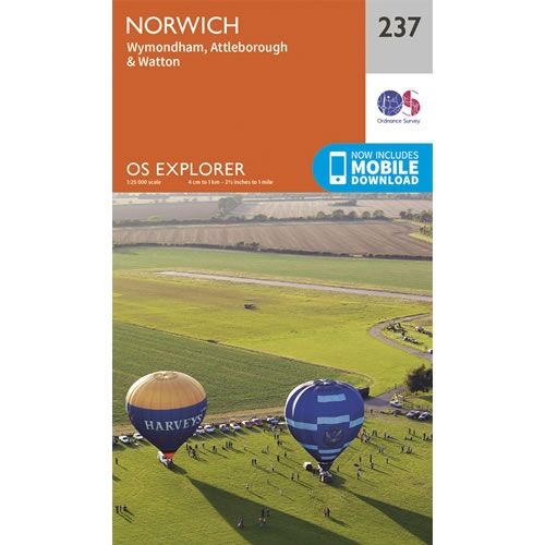
OS Explorer Map 237 - Norwich
This OS Explorer 237 Map covers Norwich, plus Wymondham, Attleborough and Watton.The scale of this OS237 Explorer map is 1:25,000 where 4cm equals 1km, or 2.5...
Regular price £12.99 GBPSale price £12.99 GBP Regular priceUnit price perSale Sold out -
Sports & Hobbies
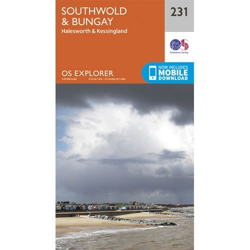
OS Explorer Map 231 - Southwold and Bungay
This OS Explorer 231 Map covers Southwold and Bungay, plus Halesworth and Kessingland.The scale of this OS231 Explorer map is 1:25,000 where 4cm equals 1km, or...
Regular price £12.99 GBPSale price £12.99 GBP Regular priceUnit price perSale Sold out -
Sports & Hobbies
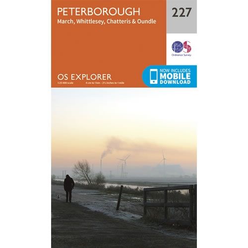
OS Explorer Map 227 - Peterborough and March
This OS Explorer 227 Map covers Peterborough, plus March, Whittlesey, Chatteris and Oundle.The scale of this OS227 Explorer map is 1:25,000 where 4cm equals 1km, or...
Regular price £12.99 GBPSale price £12.99 GBP Regular priceUnit price perSale Sold out -
Sports & Hobbies
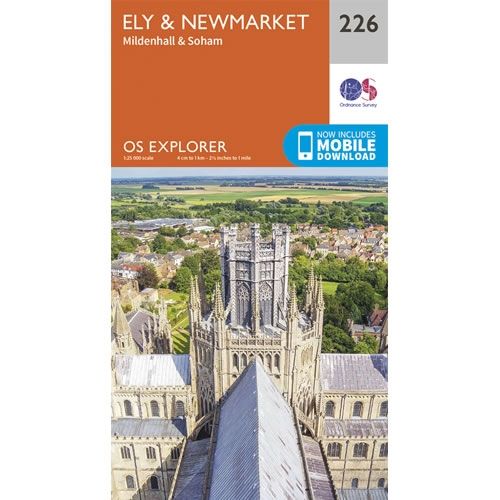
OS Explorer Map 226 - Ely and Newmarket
This OS Explorer 226 Map covers Ely and Newmarket, plus Mildenhall and Soham.The scale of this OS226 Explorer map is 1:25,000 where 4cm equals 1km, or...
Regular price £12.99 GBPSale price £12.99 GBP Regular priceUnit price perSale Sold out

