-
Sports & Hobbies
An Teallach Superwalker Map
This An Teallach Superwalker Map covers An Teallach and Fisherfield to the north of Torridon. The area is a spectacular group of remote northerly Munros popular...
Regular price £15.50 GBPSale price £15.50 GBP Regular priceUnit price perSale Sold out -
Sports & Hobbies
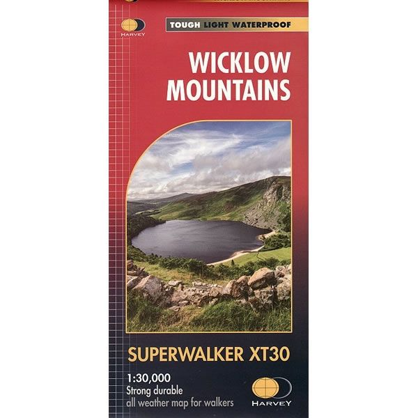
Wicklow Mountains Superwalker Map
This Wicklow Mountains Superwalker Map is a detailed map for hillwalkers of the Wicklow National Park at a scale of 1:30,000.It includes the spectacular Glendalough area...
Regular price £15.50 GBPSale price £15.50 GBP Regular priceUnit price perSale Sold out -
Sports & Hobbies
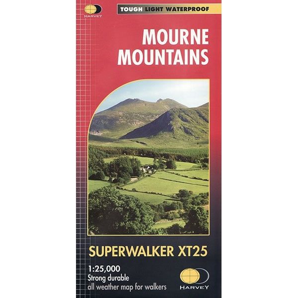
Mourne Mountains Superwalker Map
This Mourne Mountains Superwalker Map covers the highest mountains in Northern Ireland, an Area of Outstanding Natural Beauty. The Mournes are a granite mountain range in...
Regular price £15.50 GBPSale price £15.50 GBP Regular priceUnit price perSale Sold out -
Sports & Hobbies
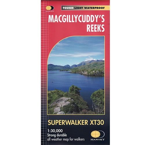
Macgillycuddy's Reeks XT30 Superwalker Map
This Macgillycuddy's Reeks XT30 Superwalker Map shows the whole of the Killarney National Park at a scale of 1:30,000. It shows tracks, paths and cliffs in...
Regular price £15.50 GBPSale price £15.50 GBP Regular priceUnit price perSale Sold out -
Sports & Hobbies
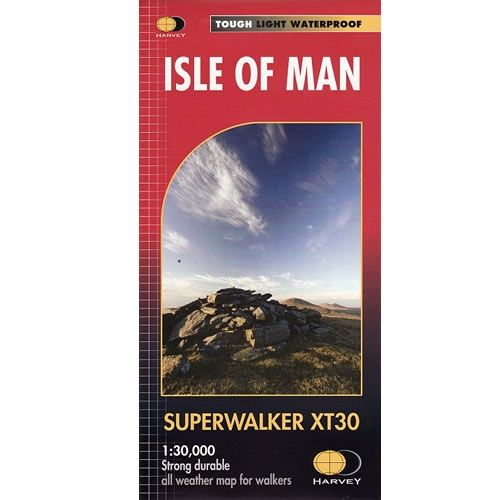
Isle of Man XT30 Superwalker Map
This Isle of Man XT30 Superwalker Map includes long distance routes, and rights of way. This detailed map for hillwalkers covering the whole island on two...
Regular price £15.50 GBPSale price £15.50 GBP Regular priceUnit price perSale Sold out -
Sports & Hobbies
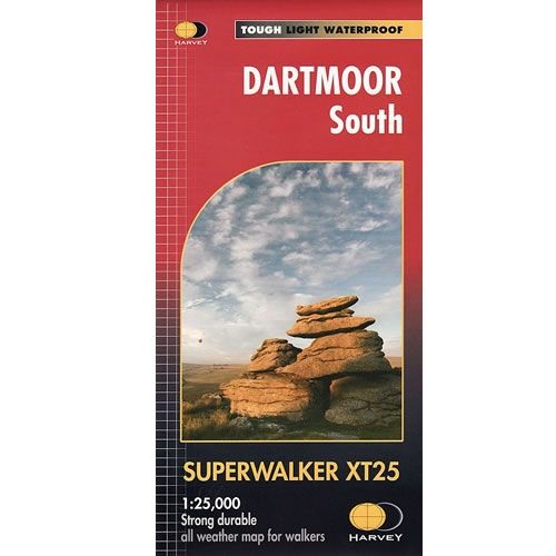
Dartmoor South XT25 Superwalker Map
This Dartmoor South XT25 Superwalker Map is a detailed map for hillwalkers covering the southern part of Dartmoor National Park at a scale of 1:25,000.The map...
Regular price £15.50 GBPSale price £15.50 GBP Regular priceUnit price perSale Sold out -
Sports & Hobbies
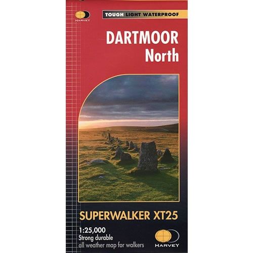
Dartmoor North XT25 Superwalker Map
This Dartmoor North XT25 Superwalker Map is a detailed map for hillwalkers covering the northern part of Dartmoor National Park at a scale of 1:25,000.The map...
Regular price £15.50 GBPSale price £15.50 GBP Regular priceUnit price perSale Sold out -
Sports & Hobbies
Connemara Superwalker Map
This Connemara Superwalker XT30 Map is a detailed map for hillwalkers covering the Connemara National Park at a scale of 1:30,000. Connemara National Park is a...
Regular price £15.50 GBPSale price £15.50 GBP Regular priceUnit price perSale Sold out -
Sports & Hobbies
Snowdonia Arans Superwalker Map
This Arans Superwalker Map is a detailed map for hillwalkers covering the Arans in Snowdonia National Park at a scales of 1:25,000. Along the Aran ridge,...
Regular price £11.50 GBPSale price £11.50 GBP Regular priceUnit price perSale Sold out -
Sports & Hobbies
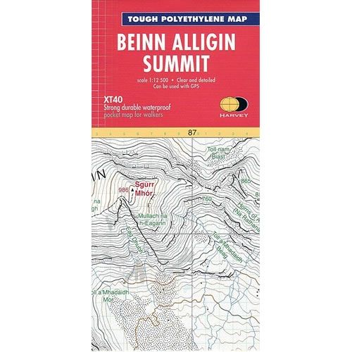
Ben Alligin Summit Map
This Ben Alligin Summit Map is an enlarged map for hillwalkers covering the summit ridge of Ben Alligin at a scale of 1:12,500. Ben Alligin one...
Regular price £7.95 GBPSale price £7.95 GBP Regular priceUnit price perSale Sold out -
Sports & Hobbies
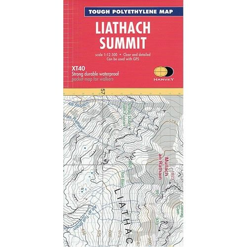
Liathach Summit Map
This Liathach Summit Map is an enlarged map for hillwalkers covering the summit ridge of Liathach at a scale of 1:12,500. Liathach is a mountain in...
Regular price £7.95 GBPSale price £7.95 GBP Regular priceUnit price perSale Sold out -
Sports & Hobbies
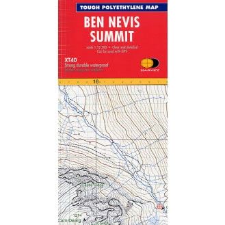
Ben Nevis Summit Map
This Ben Nevis Summit Map is an enlarged map for hillwalkers covering the summit of Ben Nevis at a scale of 1:12,500, the highest mountain in...
Regular price £7.95 GBPSale price £7.95 GBP Regular priceUnit price perSale Sold out -
Sports & Hobbies
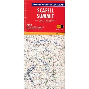
Scafell Summit Map
This Scafell Summit Map is an enlarged map for hillwalkers covering the summit of Scafell at 1:12,500 scale, the highest mountain in EnglandThe map covers an...
Regular price £7.95 GBPSale price £7.95 GBP Regular priceUnit price perSale Sold out -
Sports & Hobbies
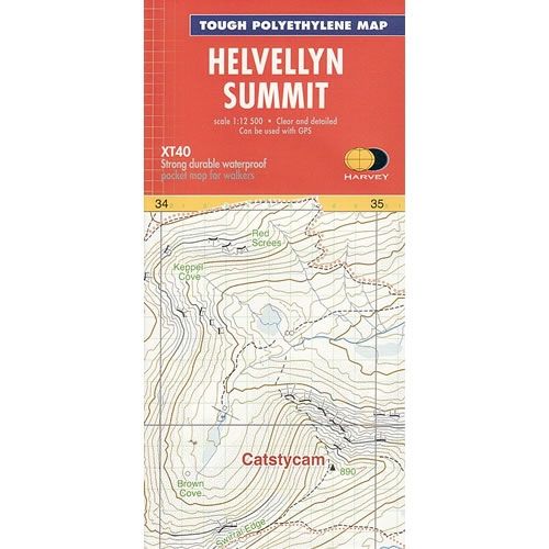
Helvellyn Summit Map
This Helvellyn Summit Map is an enlarged map for hillwalkers covering the summit of Helvellyn at a scale of 1:12,500.The map covers an area approximately 3km...
Regular price £7.95 GBPSale price £7.95 GBP Regular priceUnit price perSale Sold out -
Sports & Hobbies
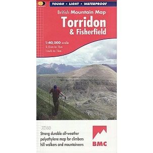
Torridon British Mountain Map
This Torridon Map details the mountains of Torridon and the remote hills of Fisherfield on one sheet at a scale of 1:40,000.The map includes 18 Munros,...
Regular price £18.50 GBPSale price £18.50 GBP Regular priceUnit price perSale Sold out -
Sports & Hobbies
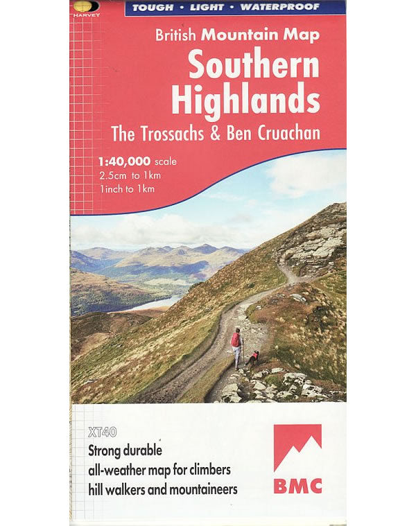
Southern Highlands British Mountain Map
This Southern Highlands Map covers the main part of the Loch Lomond and the Trossachs National Park, plus an additional section showing Ben Cruachan and Ben...
Regular price £18.50 GBPSale price £18.50 GBP Regular priceUnit price perSale Sold out -
Sports & Hobbies
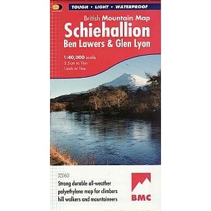
Schiehallion, Ben Lawers and Glen Lyon Mountain Map
This Schiehallion, Ben Lawers and Glen Lyon Mountain Map covers 42 challenging Perthshire hills on one sheet in an area to the north of Lock Lomond.The...
Regular price £18.50 GBPSale price £18.50 GBP Regular priceUnit price perSale Sold out -
Sports & Hobbies
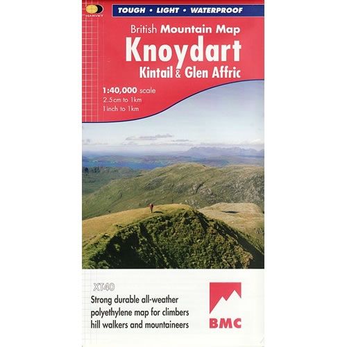
Knoydart British Mountain Map
This Knoydart Mountain Map covers ëBritain's last wildernessí that includes Kintail and Glen Affric. The Knoydart Mountains are located between Fort William and Torridon in the...
Regular price £18.50 GBPSale price £18.50 GBP Regular priceUnit price perSale Sold out -
Sports & Hobbies
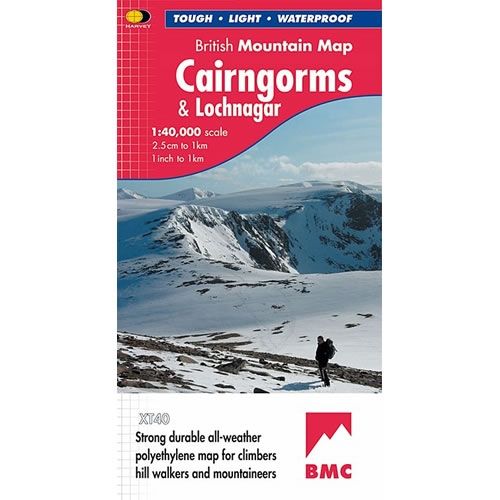
Cairngorms and Lochnagar Mountain Map
This Cairngorms and Lochnagar Mountain Map covers the Cairngorms high plateau and surrounding hills at a scale of 1:40,000. On the reverse of the map is...
Regular price £18.50 GBPSale price £18.50 GBP Regular priceUnit price perSale Sold out -
Sports & Hobbies
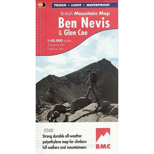
Ben Nevis Mountain Map
This Ben Nevis Mountain Map is a detailed map for hillwalkers and climbers of Ben Nevis and Glen Coe at a scale of 1:40,000. The summit...
Regular price £18.50 GBPSale price £18.50 GBP Regular priceUnit price perSale Sold out -
Sports & Hobbies
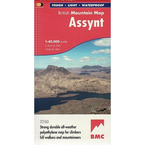
Assynt Mountain Map
This Assynt Mountain Map is a detailed map for hillwalkers and climbers of the spectacular sandstone peaks of Assynt, in the northern Highlands at a scale...
Regular price £18.50 GBPSale price £18.50 GBP Regular priceUnit price perSale Sold out -
Sports & Hobbies
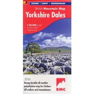
Yorkshire Dales Map
Yorkshire Dales Map. Over 600 square miles of fresh air and freedom on one map, covering the Yorkshire Dales at a scale of 1:40,000.Harvey British Mountain...
Regular price £18.50 GBPSale price £18.50 GBP Regular priceUnit price perSale Sold out -
Sports & Hobbies
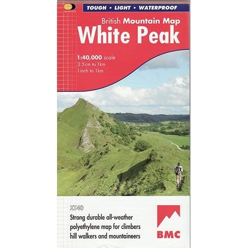
White Peak District Map
This White Peak Map details the hills and dales of the White Peak District on a single map at a scale of 1:40,000. The White Peak...
Regular price £18.50 GBPSale price £18.50 GBP Regular priceUnit price perSale Sold out -
Sports & Hobbies
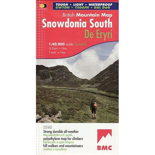
Snowdonia South Map including Cadair Idris
This Snowdonia South Map details the key mountains of Southern part of Snowdonia National Park (De Eryri), on one map at a scale of 1:40,000. Key...
Regular price £18.50 GBPSale price £18.50 GBP Regular priceUnit price perSale Sold out

