-
Sports & Hobbies
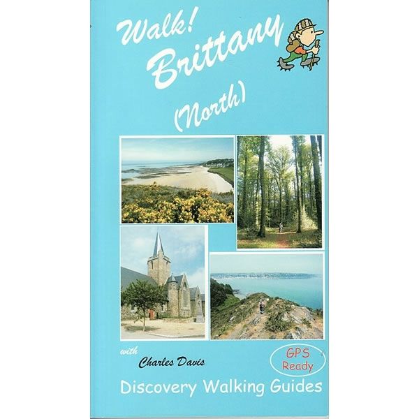
Walk! Brittany Guidebook
This guidebook describes 40 fully detailed walking itineraries in the northern region of Brittany, around Finistere, Côtes d'Armor and Ille et Vilaine to suit walkers of...
Regular price £11.99 GBPSale price £11.99 GBP Regular priceUnit price perSale Sold out -
Sports & Hobbies
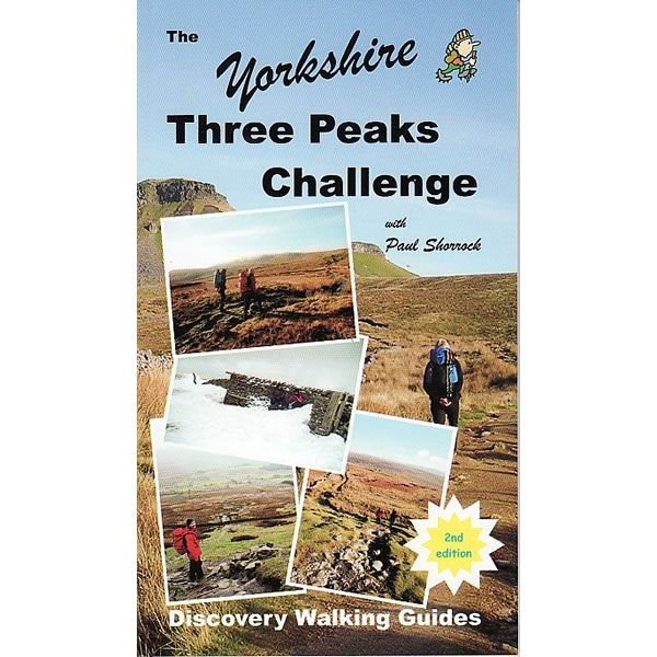
The Yorkshire Three Peaks Challenge Guidebook
This is the ultimate guidebook for preparing and completing the Yorkshire Three Peaks challenge. That is to complete the 3 peaks of Pen y Ghent, Whernside...
Regular price £8.99 GBPSale price £8.99 GBP Regular priceUnit price perSale Sold out -
Sports & Hobbies
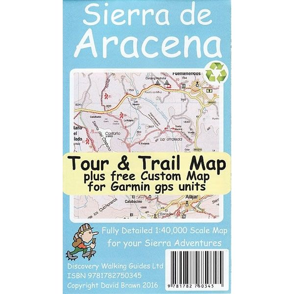
Sierra de Aracena Tour and Trail Map
This tour and trail walking map covers the Sierra de Aracena at a scale of 1:40,000, a remote region 100km northwest of Seville. The 27 walking...
Regular price £3.99 GBPSale price £3.99 GBP Regular priceUnit price perSale Sold out -
Sports & Hobbies
The National 3 Peaks Guidebook - Taking Up The Challenge
This guidebook for the National 3 Peaks Challenge not only describes walking routes up Ben Nevis, Scafell Pike and Snowdon, but also provides plenty of information...
Regular price £8.99 GBPSale price £8.99 GBP Regular priceUnit price perSale Sold out -
Sports & Hobbies
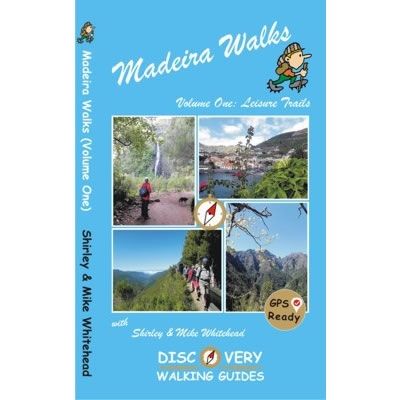
Madeira Walks Volume 1 Leisure Trails Guidebook
This guidebook describes 41 'Leisure Trails' on the island of Madeira. These walking routes are aimed to be 'family friendly' suitable for all walkers of different...
Regular price £12.99 GBPSale price £12.99 GBP Regular priceUnit price perSale Sold out -
Sports & Hobbies
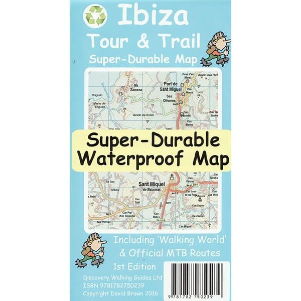
Ibiza Tour and Trail Super-Durable Map
This tour and trail walking map covers the island of Ibiza at a scale of 1:40,000, and is printed on both sides. The east of Ibiza...
Regular price £10.99 GBPSale price £10.99 GBP Regular priceUnit price perSale Sold out -
Sports & Hobbies
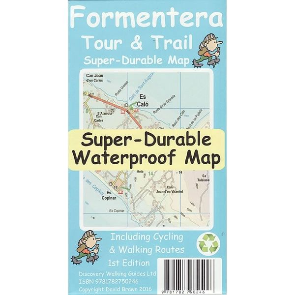
Formentera Tour and Trail Super-Durable Map
This tour and trail walking map covers the island of Formentera at a scale of 1:25,000. The map shows many cycling and walking trails plus all...
Regular price £10.99 GBPSale price £10.99 GBP Regular priceUnit price perSale Sold out -
Sports & Hobbies
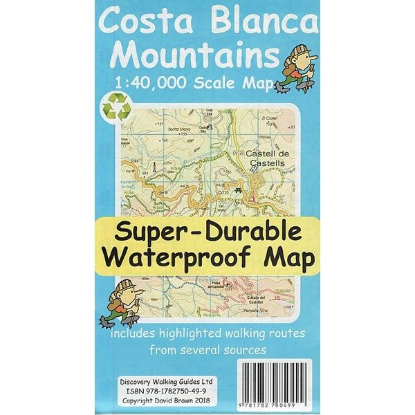
Costa Blanca Mountains Tour and Trail Super-Durable Map
This tour and trail walking map covers the Mountains of Costa Blanca at a scale of 1:40,000, and is printed on both sides with a generous...
Regular price £10.99 GBPSale price £10.99 GBP Regular priceUnit price perSale Sold out -
Sports & Hobbies
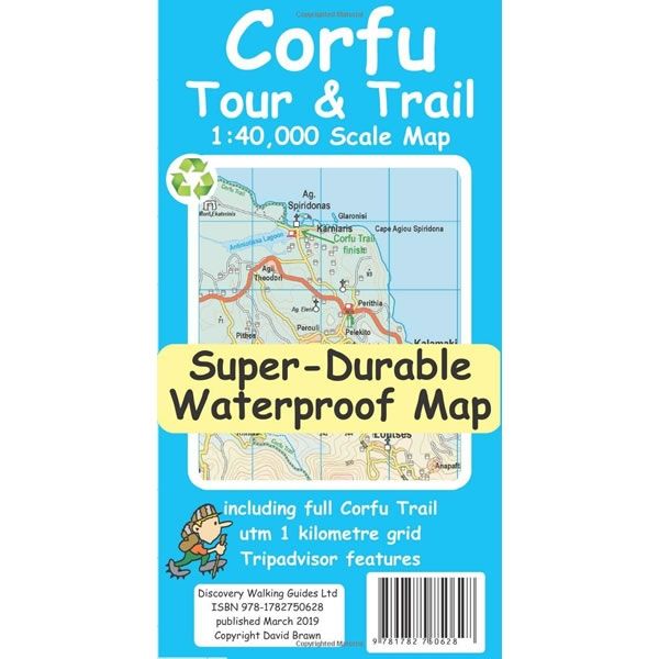
Corfu Tour and Trail Super-Durable Map
This Corfu Tour and Trail Super-Durable Map covers the island of Corfu at a scale of 1:40,000. It is the most detailed, accurate, toughest, large scale...
Regular price £11.99 GBPSale price £11.99 GBP Regular priceUnit price perSale Sold out -
Sports & Hobbies
Explore Aviemore Map
This Explore Aviemore map and guide is aimed at walkers, mountain bikers and trail runners. The map covers Rothiemurchus, Glenmore, Boat of Garten, and Inshriach Forest...
Regular price £8.75 GBPSale price £8.75 GBP Regular priceUnit price perSale Sold out -
Sports & Hobbies
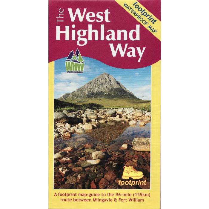
West Highland Way Map
This is a complete map and guide to the West Highland Way from Milngavie near Glasgow to Fort William that is 95 miles (153km) long.Published by...
Regular price £10.95 GBPSale price £10.95 GBP Regular priceUnit price perSale Sold out -
Sports & Hobbies
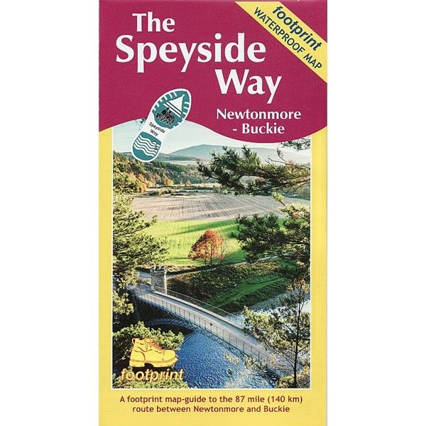
The Speyside Way Map
This is the complete map and guide of the Speyside Way that runs between Aviemore and Buckie on the Moray Firth. The Speyside Way is 66...
Regular price £10.95 GBPSale price £10.95 GBP Regular priceUnit price perSale Sold out -
Sports & Hobbies
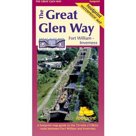
Great Glen Way Map
This is complete map and guide of the Great Glen Way between Fort William and Inverness that is 74 miles (118km) long. The map also shows...
Regular price £10.95 GBPSale price £10.95 GBP Regular priceUnit price perSale Sold out -
Sports & Hobbies
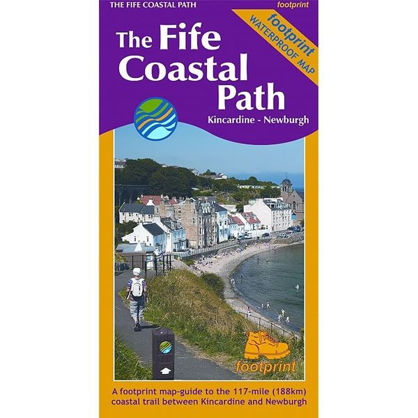
Fife Coastal Path Map
This is the complete map and guide to the Fife Coastal Path, a unique 116 mile trail from the Kincardine Bridge, to Newburgh on the Firth...
Regular price £10.95 GBPSale price £10.95 GBP Regular priceUnit price perSale Sold out -
Sports & Hobbies
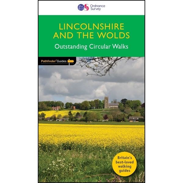
Lincolnshire and The Wolds Pathfinder Guidebook
This Lincolnshire and The Wolds Pathfinder Guidebook describes 28 outstanding circular walks. Each of the routes has information on local amenities, a detailed route description, OS...
Regular price £12.99 GBPSale price £12.99 GBP Regular priceUnit price perSale Sold out -
Sports & Hobbies
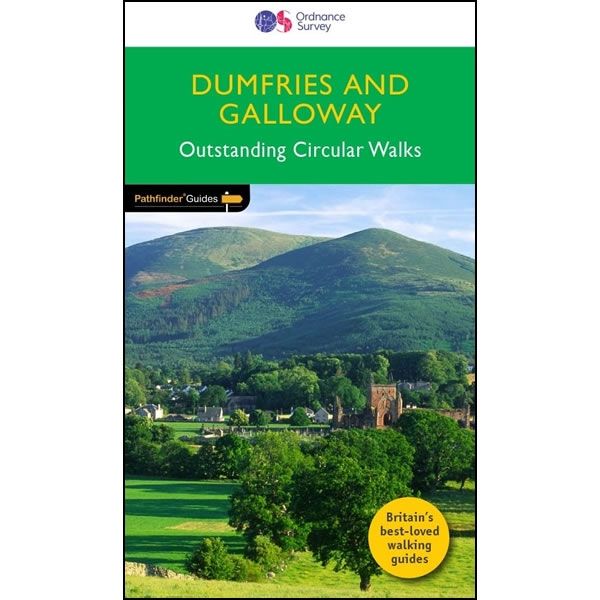
Dumfries and Galloway Pathfinder Guidebook
This Dumfries and Galloway Pathfinder Guidebook describes 28 outstanding circular walks in the south-west of Scotland; a broad wedge of land jutting out into the Irish...
Regular price £12.99 GBPSale price £12.99 GBP Regular priceUnit price perSale Sold out -
Sports & Hobbies
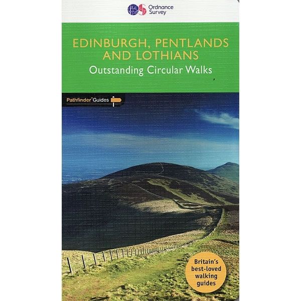
Edinburgh, Pentlands and Lothians Pathfinder Guidebook
This Edinburgh, Pentlands and Lothians Pathfinder Guidebook describes 28 outstanding circular walks around the Scottish Capital. Each of the routes has information on local amenities, a...
Regular price £11.99 GBPSale price £11.99 GBP Regular priceUnit price perSale Sold out -
Sports & Hobbies
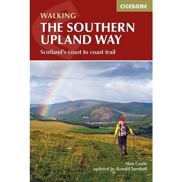
Walking The Southern Upland Way Guidebook
This guidebook describes the Southern Upland Way, and is Scotland's coast to coast long distance walk. At 215 miles long, it starts at the pretty village...
Regular price £14.95 GBPSale price £14.95 GBP Regular priceUnit price perSale Sold out -
Sports & Hobbies
Krk Island Walking Map [20]
This Krk Island walking map describes the walking paths and trails on Krk Island, one of the most popular holiday islands in Croatia at a scale...
Regular price £9.95 GBPSale price £9.95 GBP Regular priceUnit price perSale Sold out -
Sports & Hobbies
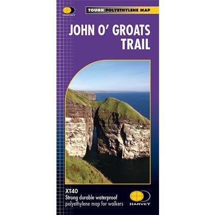
John O' Groats Trail XT40 Harvey Map
The John O' Groats Trail runs from Inverness to John O' Groats and is 237km long (147 miles). It traversing shorelines, cliff tops, back lanes and...
Regular price £17.50 GBPSale price £17.50 GBP Regular priceUnit price perSale Sold out -
Sports & Hobbies
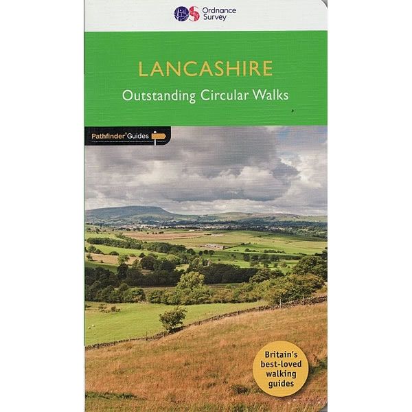
Lancashire Pathfinder Guidebook
This Lancashire Pathfinder Guidebook describes 28 outstanding circular walks throughout Lancashire. Each of the routes has information on local amenities, a detailed route description, OS mapping...
Regular price £12.99 GBPSale price £12.99 GBP Regular priceUnit price perSale Sold out -
Sports & Hobbies
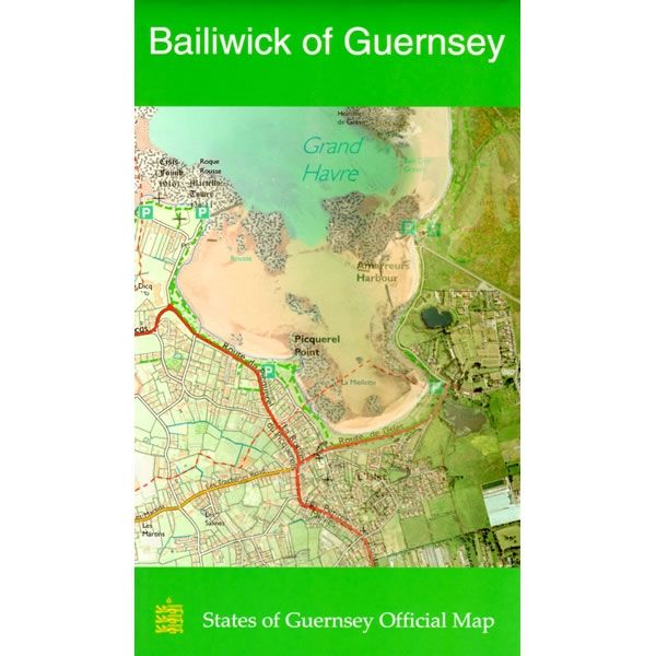
Bailiwick Of Guernsey Leisure Map
This map of Guernsey in the Channel Islands shows the whole of Guernsey at a scale of 1:15,000. On the reverse is a map of Alderney,...
Regular price £10.00 GBPSale price £10.00 GBP Regular priceUnit price perSale Sold out -
Sports & Hobbies
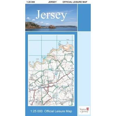
Jersey Official Leisure Map
This Jersey Official Leisure Map shows the whole of Jersey Island at a scale of 1:25,000. On the reverse is a street map of St Helier....
Regular price £10.00 GBPSale price £10.00 GBP Regular priceUnit price perSale Sold out -
Sports & Hobbies
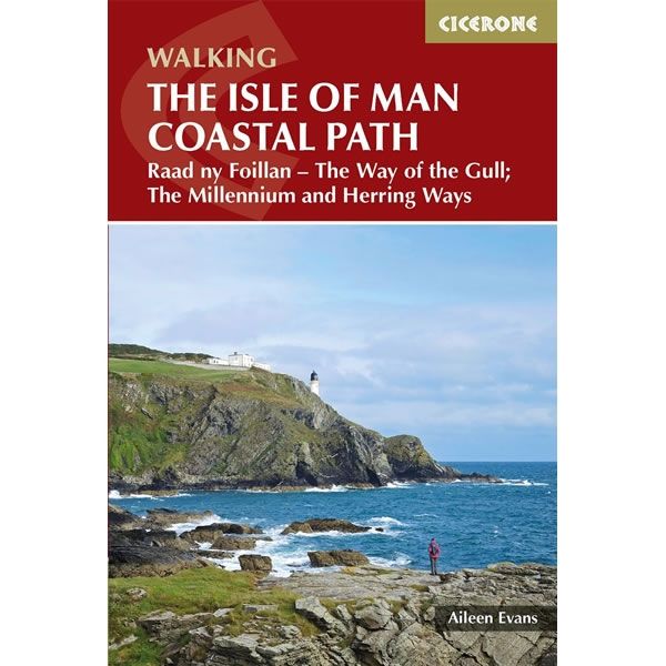
Walking Isle of Man Coastal Path
This guidebook describes walking the Isle of Man coastal path, called the Way of the Gull (Raad ny Foillan). The spectacular 98 mile route is described...
Regular price £12.95 GBPSale price £12.95 GBP Regular priceUnit price perSale Sold out


![Krk Island Walking Map [20]](http://climb-europe.com/cdn/shop/files/krk-island-walking-map-20.jpg?v=1749646630&width=370 370w)
