1
/
of
1
Canal and River Cruising Planner of Great Britain
Regular price
£12.99 GBP
Sale price
£12.99 GBP
Regular price
Unit price
/
per
Sale
Sold out
Sold out
Shipping calculated at checkout.
Couldn't load pickup availability
Description
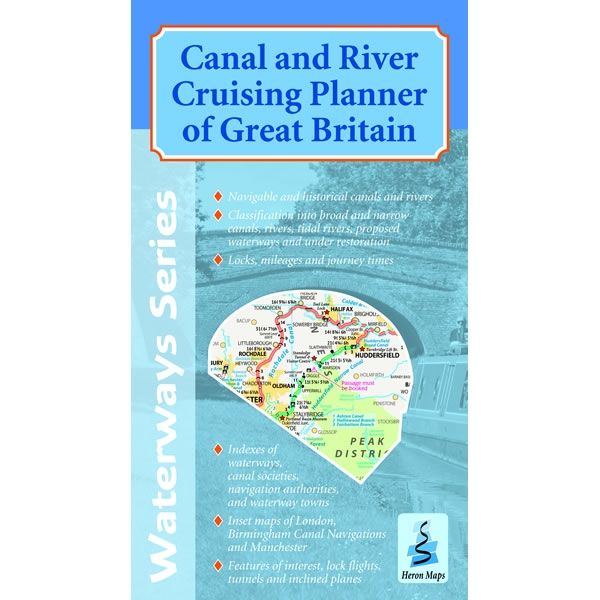
This double sided Heron Cruise Planner map shows the entire inland waterways of Great Britain at a scale of 1:660,000. There are more detailed inset maps of Birmingham Canal Navigations, Manchester and London at a scale of 1:155,000. The planner shows all the navigable and historical waterways, differentiating between navigations past and present.The map shows all navigable canals and rivers clearly distinguishing between broad and narrow canals and tidal and non-tidal rivers. Also included are classification into the Broads, proposed waterways and those under restoration. Lengths of the waterways are broken down into mileages, approximate journey times, plus the map shows locks, tunnels, features of interest, and inclined planes.
There is an index of the waterways with their navigation authorities and societies, a selection of waterway towns and other organisations. It was published by Heron Maps in February 2018.


