-
Sports & Hobbies
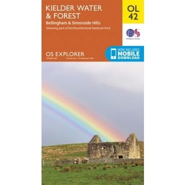
OS Explorer Map OL42 - Kielder Water and Forest
This OS Explorer OL42 Map covers Kielder Water and Forest, including Bellingham and Simonside Hills. The map shows part of the Northumberland National Park including Bloody...
Regular price £12.99 GBPSale price £12.99 GBP Regular priceUnit price perSale Sold out -
Sports & Hobbies
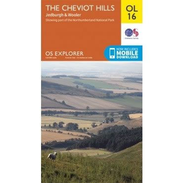
OS Explorer Map OL16 - The Cheviot Hills, Jedburgh and Wooler
This OS Explorer OL16 Map covers the Cheviot Hills, Jedburgh, Wooler, Alwinton, and Harbottle in the Northumberland National Park. The map also includes the Catscleugh Reservoir,...
Regular price £12.99 GBPSale price £12.99 GBP Regular priceUnit price perSale Sold out -
Sports & Hobbies
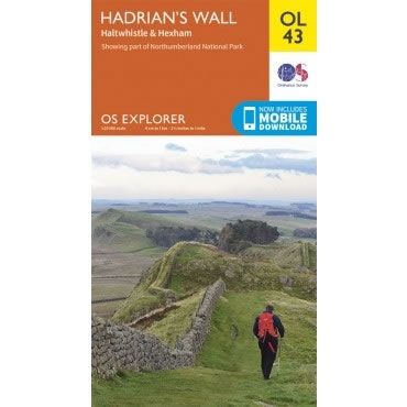
OS Explorer Map OL43 - Hadrian's Wall
This OS Explorer OL43 Map covers Hadrian's Wall, including Haltwhistle and Hexham. The map shows part of the Northumberland National Park and includes Gilsland, Corbridge, Humshaugh,...
Regular price £12.99 GBPSale price £12.99 GBP Regular priceUnit price perSale Sold out


