-
Sports & Hobbies
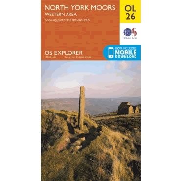
OS Explorer Map OL26 - North York Moors - Western area
This OS Explorer OL26 Map covers the western part of the North York Moors. Also covered are the Cleveland Hills, and a small section of the...
Regular price £12.99 GBPSale price £12.99 GBP Regular priceUnit price perSale Sold out -
Sports & Hobbies
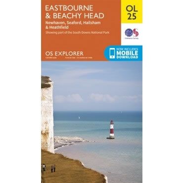
OS Explorer Map OL25 - Eastbourne and Beachy Head
This OS Explorer OL25 Map covers Eastbourne and Beachy Head, including Newhaven, Seaford, Hailsham, Uckfield and Heathfield.This map shows part of the South Downs National Park,...
Regular price £12.99 GBPSale price £12.99 GBP Regular priceUnit price perSale Sold out -
Sports & Hobbies
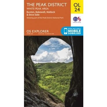
OS Explorer Map OL24 - The Peak District, White Peak Area
This OS Explorer OL24 Map covers the While Peak area of the Peak District (southern half), including Buxton, Bakewell, Matlock, Dove Dale, High Peak Trail, and...
Regular price £12.99 GBPSale price £12.99 GBP Regular priceUnit price perSale Sold out -
Sports & Hobbies
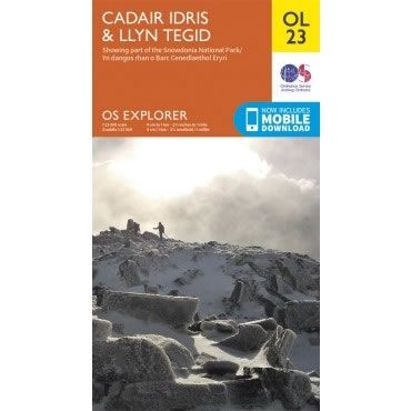
OS Explorer Map OL23 - Cadair Idris and Llyn Tegid
This OS Explorer OL23 Map covers Cadair Idris (sometimes called Cader Idris) and Llyn Tegid. This map covers part of the Snowdonia National Park with plenty...
Regular price £12.99 GBPSale price £12.99 GBP Regular priceUnit price perSale Sold out -
Sports & Hobbies
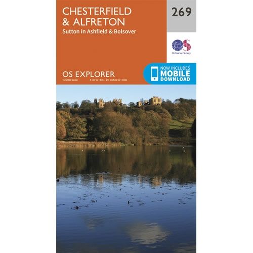
OS Explorer Map 269 - Chesterfield and Alfreton
This OS Explorer 269 Map covers Chesterfield and Alfreton, plus Sutton in Ashfield and Bolsover.The scale of this OS269 Explorer map is 1:25,000 where 4cm equals...
Regular price £12.99 GBPSale price £12.99 GBP Regular priceUnit price perSale Sold out -
Sports & Hobbies
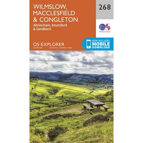
OS Explorer Map 268 - Wilmslow and Macclesfield
This OS Explorer 268 Map covers Wilmslow, Macclesfield, Congleton, Altrincham, Knutsford and Sandbach.The scale of this OS268 Explorer map is 1:25,000 where 4cm equals 1km, or...
Regular price £12.99 GBPSale price £12.99 GBP Regular priceUnit price perSale Sold out -
Sports & Hobbies
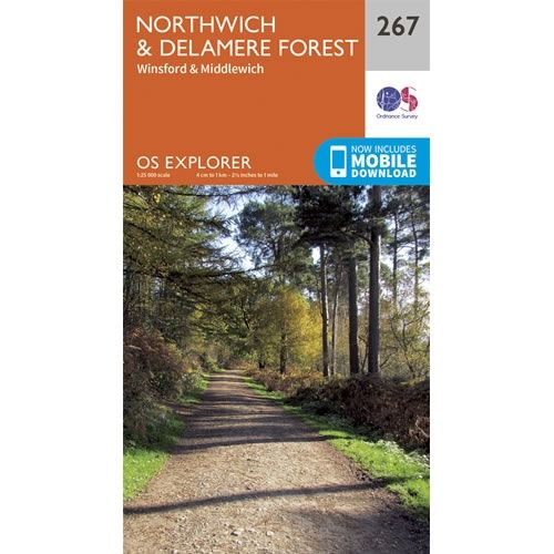
OS Explorer Map 267 - Northwich and Delamere Forest
This OS Explorer 267 Map covers Northwich and Delamere Forest, including Winsford and Middlewich.The scale of this OS267 Explorer map is 1:25,000 where 4cm equals 1km,...
Regular price £12.99 GBPSale price £12.99 GBP Regular priceUnit price perSale Sold out -
Sports & Hobbies
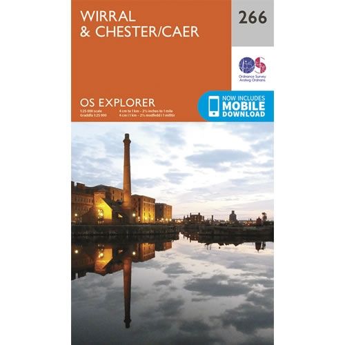
OS Explorer Map 266 - Wirral and Chester
This OS Explorer 266 Map covers Wirral and Chester, including Birkenhead, Bootle, Ellesmere Port, Heswall, Hoylake, Litherland, Neston and Wallasey.The scale of this OS266 Explorer map...
Regular price £12.99 GBPSale price £12.99 GBP Regular priceUnit price perSale Sold out -
Sports & Hobbies
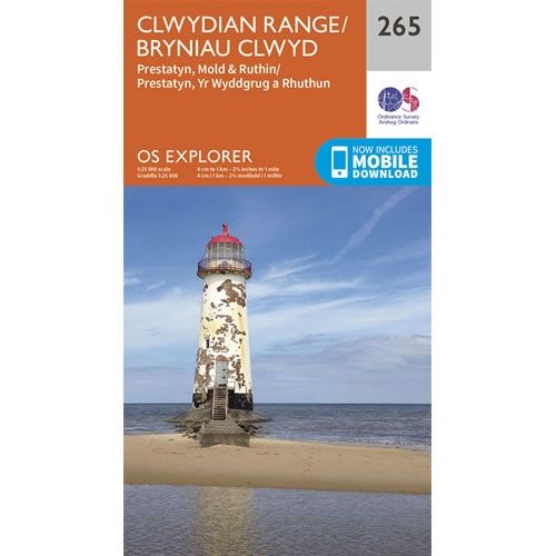
OS Explorer Map 265 - Clwydian Range
This OS Explorer 265 Map covers Clwydian Range, including Prestatyn, Mold and Ruthin.The scale of this OS265 Explorer map is 1:25,000 where 4cm equals 1km, or...
Regular price £12.99 GBPSale price £12.99 GBP Regular priceUnit price perSale Sold out -
Sports & Hobbies
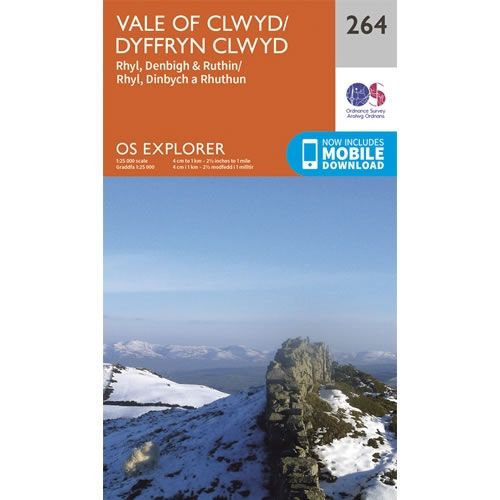
OS Explorer Map 264 - Vale of Clwyd
This OS Explorer 264 Map covers Vale of Clwyd, including Rhyl, Denbigh and Ruthin.The scale of this OS264 Explorer map is 1:25,000 where 4cm equals 1km,...
Regular price £12.99 GBPSale price £12.99 GBP Regular priceUnit price perSale Sold out -
Sports & Hobbies
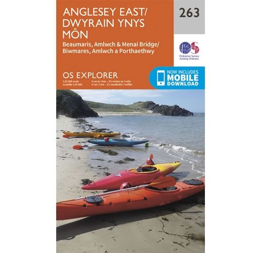
OS Explorer Map 263 - Anglesey East and Beaumaris
This OS Explorer 263 Map covers the eastern part of Anglesey, including Beaumaris, Amlwch and Menai Bridge.The scale of this OS263 Explorer map is 1:25,000 where...
Regular price £12.99 GBPSale price £12.99 GBP Regular priceUnit price perSale Sold out -
Sports & Hobbies
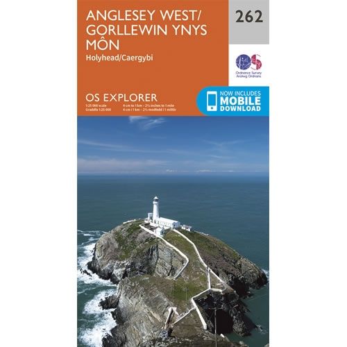
OS Explorer Map 262 - Anglesey West and Holyhead
This OS Explorer 262 Map covers the western part of Anglesey including Holyhead.The scale of this OS262 Explorer map is 1:25,000 where 4cm equals 1km, or...
Regular price £12.99 GBPSale price £12.99 GBP Regular priceUnit price perSale Sold out -
Sports & Hobbies
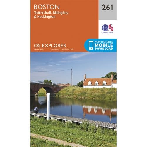
OS Explorer Map 261 - Boston
This OS Explorer 261 Map covers Boston, plus Tattershall, Billinghay and Heckington.The scale of this OS261 Explorer map is 1:25,000 where 4cm equals 1km, or 2.5...
Regular price £12.99 GBPSale price £12.99 GBP Regular priceUnit price perSale Sold out -
Sports & Hobbies
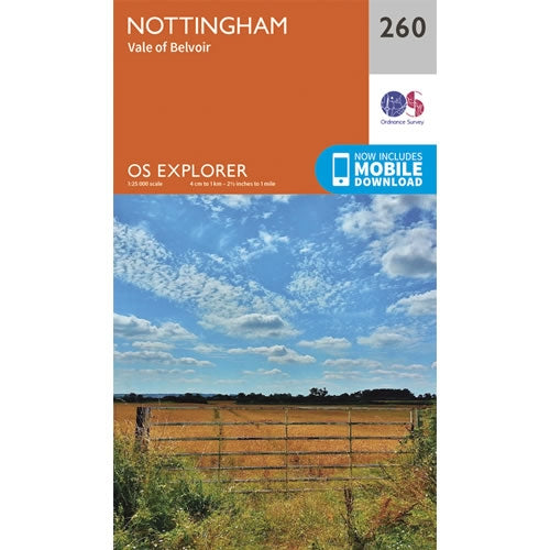
OS Explorer Map 260 - Nottingham and Vale of Belvoir
This OS Explorer 260 Map covers Nottingham and Vale of Belvoir.The scale of this OS260 Explorer map is 1:25,000 where 4cm equals 1km, or 2.5 inches...
Regular price £12.99 GBPSale price £12.99 GBP Regular priceUnit price perSale Sold out -
Sports & Hobbies
OS Explorer Map OL42 - Kielder Water and Forest
This OS Explorer OL42 Map covers Kielder Water and Forest, including Bellingham and Simonside Hills. The map shows part of the Northumberland National Park including Bloody...
Regular price £12.99 GBPSale price £12.99 GBP Regular priceUnit price perSale Sold out -
Sports & Hobbies
OS Explorer Map OL41 - Forest of Bowland and Ribblesdale
This OS Explorer OL41 Map covers Forest of Bowland and Ribblesdale, including Pendle Hill, Settle, Lancaster and part of Yorkshire Dales National Park near ClitheroeThe scale...
Regular price £12.99 GBPSale price £12.99 GBP Regular priceUnit price perSale Sold out -
Sports & Hobbies
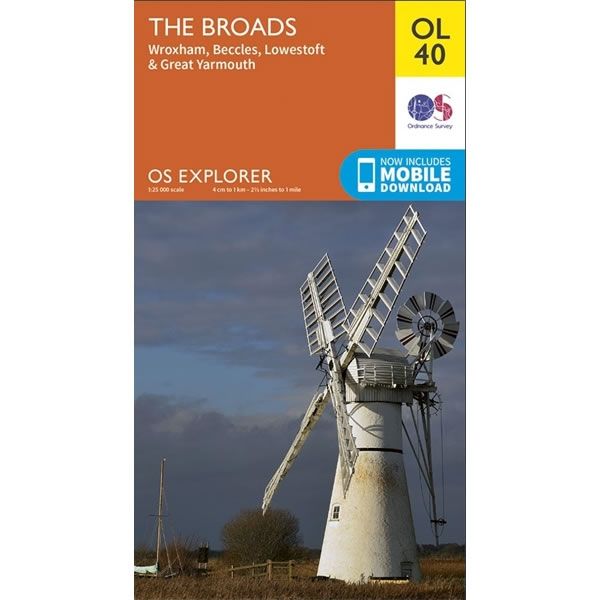
OS Explorer Map OL40 - The Broads
This OS Explorer OL40 Map covers This Norfolk Broads, including Wroxham, Beccles, Lowestoft, Great Yarmouth and part of Norwich.The scale of this OL 40 Explorer map...
Regular price £12.99 GBPSale price £12.99 GBP Regular priceUnit price perSale Sold out -
Sports & Hobbies
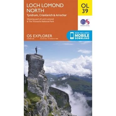
OS Explorer Map OL39 - Loch Lomond North
This OS Explorer OL39 Map covers the northern part of Loch Lomond, including Tyndrum, Ardlui, Crianlarich and Arrochar. The map shows part of the Loch Lomond...
Regular price £12.99 GBPSale price £12.99 GBP Regular priceUnit price perSale Sold out -
Sports & Hobbies
OS Explorer Map OL38 - Loch Lomond South
This OS Explorer OL38 Map covers the southern part of Loch Lomond, including Dumbarton, Helensburgh, Drymen and Cove. The map shows part of the Loch Lomond...
Regular price £12.99 GBPSale price £12.99 GBP Regular priceUnit price perSale Sold out -
Sports & Hobbies
OS Explorer Map OL37 - Cowal East, Dunoon and Inveraray
This OS Explorer OL37 Map covers Cowal East, Dunoon and Inveraray. The map shows part of Loch Lomond and The Trossachs National Park, Argyll Forest Park,...
Regular price £12.99 GBPSale price £12.99 GBP Regular priceUnit price perSale Sold out -
Sports & Hobbies
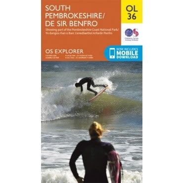
OS Explorer Map OL36 - South Pembrokeshire
This OS Explorer OL36 Map covers the southern part Pembrokeshire, including Tenby, Milford Haven, Pembroke and HaverfordwestThe scale of this OL 36 Explorer map is 1:25,000...
Regular price £12.99 GBPSale price £12.99 GBP Regular priceUnit price perSale Sold out -
Sports & Hobbies
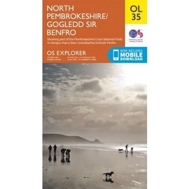
OS Explorer Map OL35 - North Pembrokeshire
This OS Explorer OL35 Map covers the northern part of Pembrokeshire. It covers the Pembrokeshire Coast National Park on the West coast of Wales, plus St...
Regular price £12.99 GBPSale price £12.99 GBP Regular priceUnit price perSale Sold out -
Sports & Hobbies
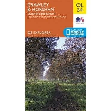
OS Explorer Map OL34 - Crawley and Horsham
This OS Explorer OL34 Map covers Crawley and Horsham, including Cranleigh and Billingshurst. The map shows part of South Downs National Park, plus the River Ouse,...
Regular price £12.99 GBPSale price £12.99 GBP Regular priceUnit price perSale Sold out -
Sports & Hobbies
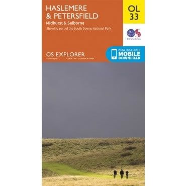
OS Explorer Map OL33 - Haslemere and Petersfield
This OS Explorer OL33 Map covers Haslemere and Petersfield, including Midhurst and Selborne. The map shows part of South Downs National Park, plus Greensand Way, Hangers...
Regular price £12.99 GBPSale price £12.99 GBP Regular priceUnit price perSale Sold out
