-
Sports & Hobbies
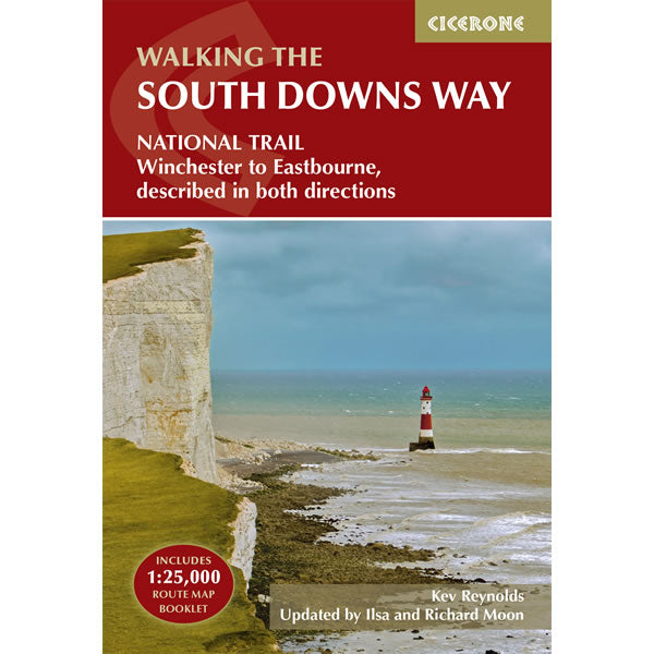
South Downs Way Cicerone Guidebook
This Cicerone walking Guidebook covers the South Downs Way between Winchester and Eastbourne through the South Downs National Park. It describes the South Downs Way National...
Regular price £17.95 GBPSale price £17.95 GBP Regular priceUnit price perSale Sold out -
Sports & Hobbies
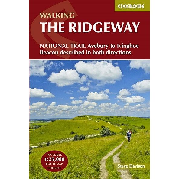
Ridgeway National Trail Cicerone Guidebook
This Cicerone walking Guidebook covers the Ridgeway National Trail, an 87 mile (139km) route through the south of England from Avebury in Wiltshire to Ivinghoe Beacon...
Regular price £17.95 GBPSale price £17.95 GBP Regular priceUnit price perSale Sold out -
Sports & Hobbies
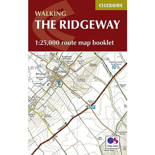
Ridgeway Map Booklet
This Cicerone Booklet covers the Ridgeway National Trail through the south of England from Avebury in Wiltshire to Ivinghoe Beacon in Buckinghamshire. The route is 87...
Regular price £7.95 GBPSale price £7.95 GBP Regular priceUnit price perSale Sold out -
Sports & Hobbies
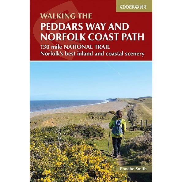
Peddars Way and Norfolk Coast Path Cicerone Guidebook
This Cicerone walking Guidebook covers the Peddars Way and Norfolk Coast Path.This National Trail combines the best of inland and coastal walking, with the Peddars Way...
Regular price £12.95 GBPSale price £12.95 GBP Regular priceUnit price perSale Sold out -
Sports & Hobbies
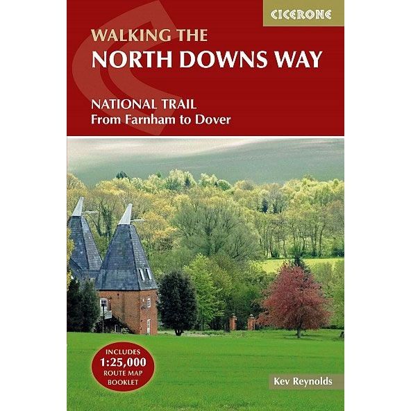
North Downs Way Cicerone Guidebook
This Cicerone walking Guidebook covers the North Downs Way From Farnham and Dover, with an optional loop to visit Canterbury. This National Trail is 130 miles...
Regular price £17.95 GBPSale price £17.95 GBP Regular priceUnit price perSale Sold out -
Sports & Hobbies
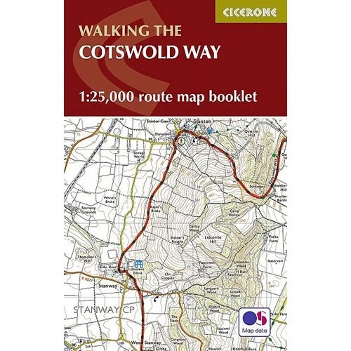
Cotswold Way Map Booklet
This Cicerone Booklet is a map of the complete Cotswold Way from Chipping Camden to Bath. The route is 102 mile (163km) long, and the booklet...
Regular price £9.95 GBPSale price £9.95 GBP Regular priceUnit price perSale Sold out -
Sports & Hobbies
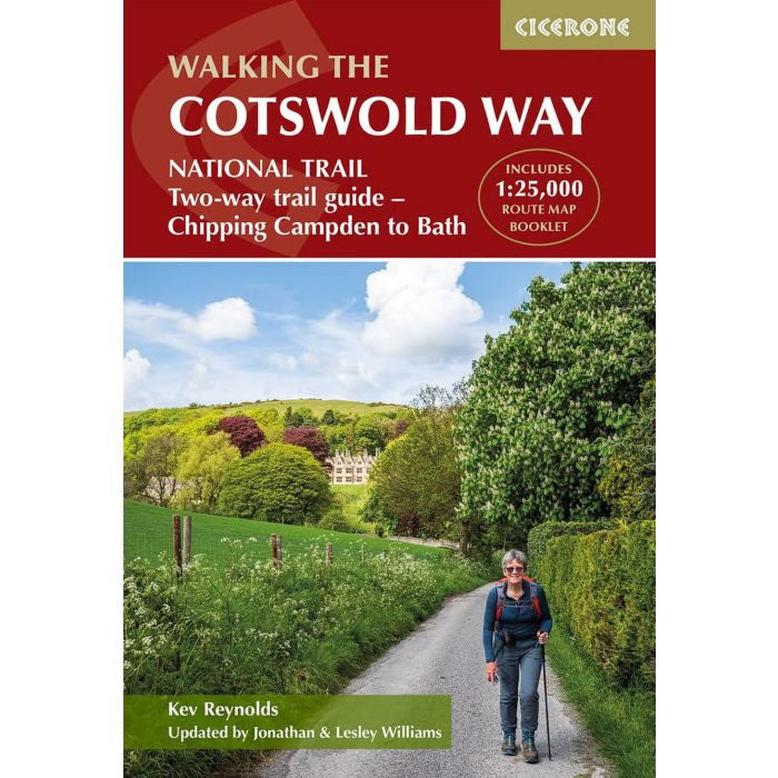
Cotswold Way Cicerone Guidebook
This Cicerone walking Guidebook covers the Cotswold Way from Chipping Campden to Bath. This 102 mile route follows the Cotswold escarpment, with dramatic and far-reaching views...
Regular price £17.95 GBPSale price £17.95 GBP Regular priceUnit price perSale Sold out -
Sports & Hobbies
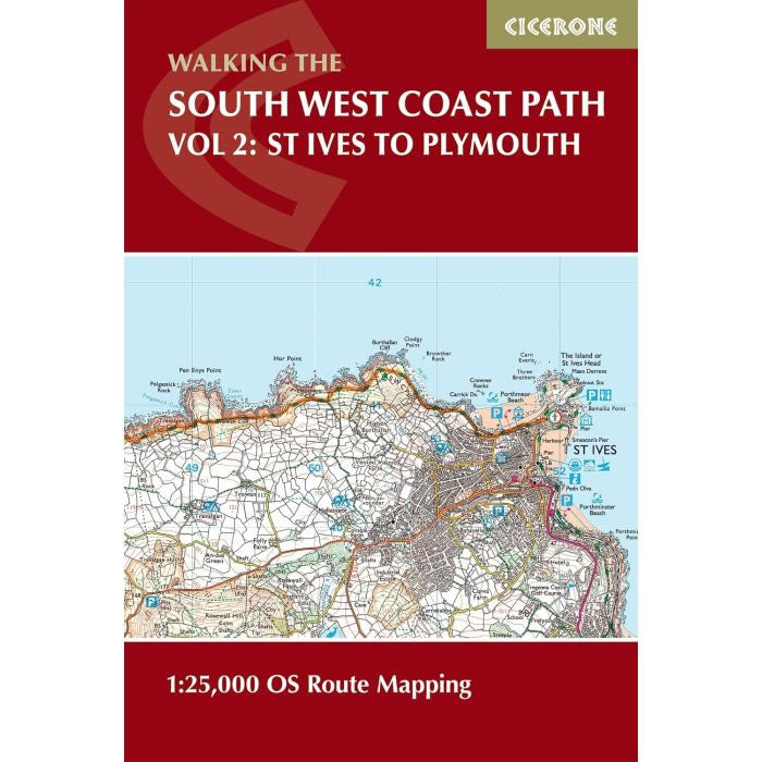
South West Coast Path Map Booklet - St Ives to Plymouth
This Cicerone Booklet covers part of the South West Coast Path from St Ives to Plymouth along the Cornwall and Devon coastlines. This convenient and compact...
Regular price £12.95 GBPSale price £12.95 GBP Regular priceUnit price perSale Sold out -
Sports & Hobbies
South West Coast Path Map Booklet - Plymouth to Poole
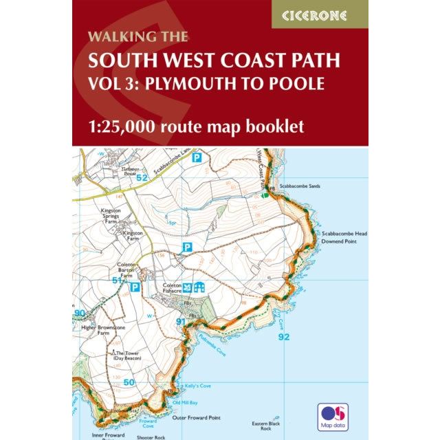
This Cicerone Booklet covers part of the South West Coast Path from Plymouth to Poole, along the Devon and Dorset coastlines. This convenient and compact booklet...
Regular price £12.95 GBPSale price £12.95 GBP Regular priceUnit price perSale Sold out -
Sports & Hobbies
South West Coast Path Map Booklet - Minehead to St Ives
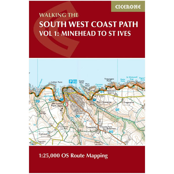
This Cicerone Booklet covers part of the South West Coast Path from Minehead to St Ives along the north Devon and Cornish coastlines. This convenient and...
Regular price £12.95 GBPSale price £12.95 GBP Regular priceUnit price perSale Sold out -
Sports & Hobbies
North Downs Way Map Booklet
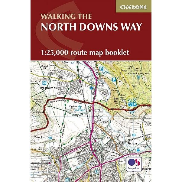
This Cicerone Booklet covers the North Downs Way from Farnham to Dover, including an optional loop to Canterbury. The Booklet for the North Downs Way National...
Regular price £9.95 GBPSale price £9.95 GBP Regular priceUnit price perSale Sold out -
Sports & Hobbies
West Highland Way Cicerone Guidebook
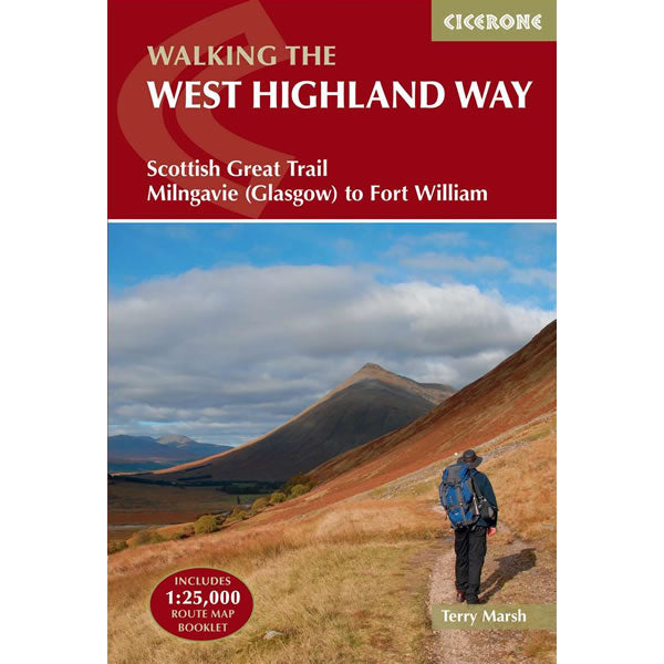
This Cicerone walking Guidebook covers the West Highland Way from Milngavie near Glasgow to Fort William. This 95 mile route Scottish long-distance route passes Loch Lomond...
Regular price £17.95 GBPSale price £17.95 GBP Regular priceUnit price perSale Sold out -
Sports & Hobbies
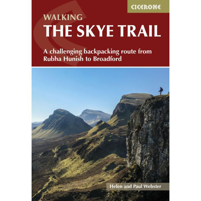
Skye Trail Cicerone Guidebook
This Cicerone walking Guidebook covers the Skye Trail, a challenging week-long trek across the largest island in Scotland's Inner Hebrides, the Isle of Skye. From Rubha...
Regular price £14.95 GBPSale price £14.95 GBP Regular priceUnit price perSale Sold out -
Sports & Hobbies
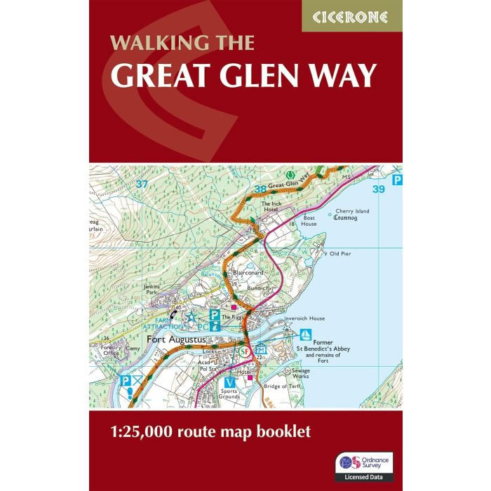
Great Glen Way Map Booklet
This Cicerone Booklet is a complete map of the Great Glen Way, using OS mapping at a scale of 1:25,000. The Great Glen Way is one...
Regular price £9.95 GBPSale price £9.95 GBP Regular priceUnit price perSale Sold out -
Sports & Hobbies
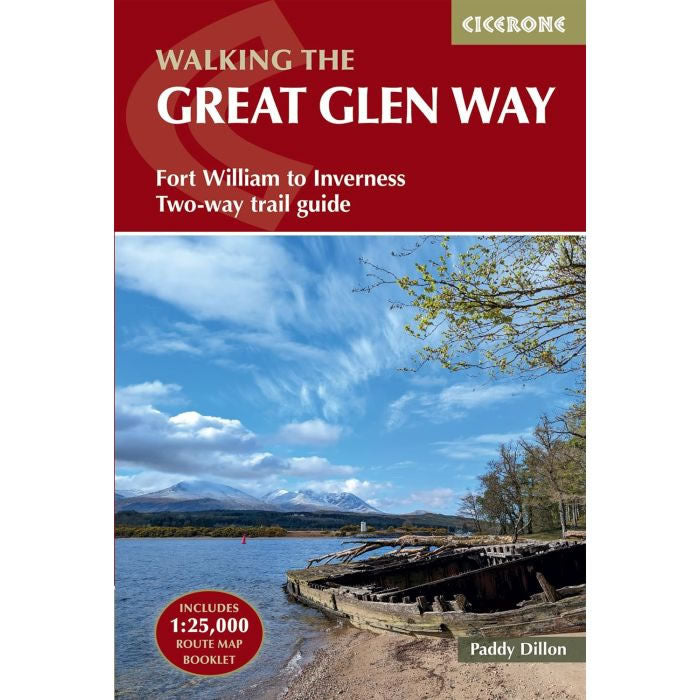
Great Glen Way Cicerone Guidebook
This Cicerone walking Guidebook covers the Great Glen Way a 79 mile National Trail along the Caledonia Canal from Fort William to Inverness. Easily walked within...
Regular price £17.95 GBPSale price £17.95 GBP Regular priceUnit price perSale Sold out -
Sports & Hobbies
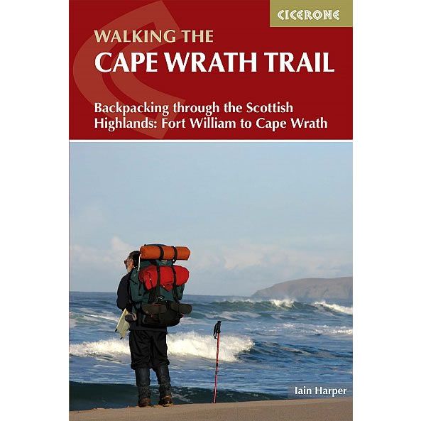
Cape Wrath Trail Cicerone Guidebook
This Cicerone walking guidebook covers the Cape Wrath Trail, a long-distance trek through the Scottish Highlands from Fort William to Cape Wrath. The Cape Wrath Trail...
Regular price £17.95 GBPSale price £17.95 GBP Regular priceUnit price perSale Sold out -
Sports & Hobbies
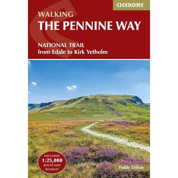
Pennine Way Cicerone Guidebook
This Cicerone walking Guidebook covers the Pennine Way from Edale in Derbyshire to Kirk Yetholm in the Scottish Borders, and is 270 miles long.The Pennine Way...
Regular price £17.95 GBPSale price £17.95 GBP Regular priceUnit price perSale Sold out -
Sports & Hobbies
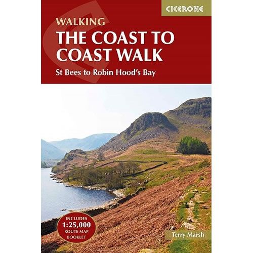
Coast to Coast Walk Cicerone Guidebook
This Cicerone walking Guidebook covers the Coast to Coast path from St Bees Head in Cumbria to Robin Hood's Bay in Yorkshire. At 190 miles (300km)...
Regular price £17.95 GBPSale price £17.95 GBP Regular priceUnit price perSale Sold out -
Sports & Hobbies
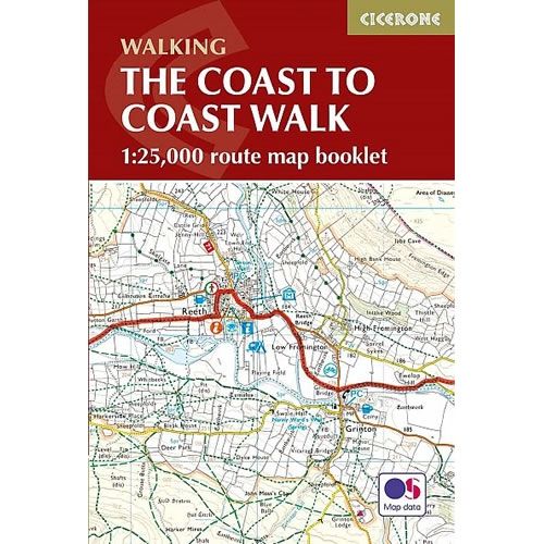
Coast to Coast Map Booklet
This Cicerone Booklet is a map of the complete Coast to Coast path from St Bees Head in Cumbria to Robin Hood's Bay in Yorkshire, at...
Regular price £12.95 GBPSale price £12.95 GBP Regular priceUnit price perSale Sold out -
Sports & Hobbies
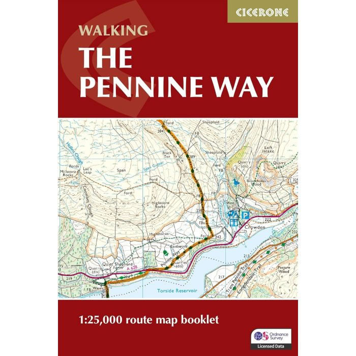
Pennine Way Map Booklet
This Cicerone Booklet is a complete map of the Pennine Way National Trail. This popular long-distance route typically takes three weeks to complete, and is 270...
Regular price £14.95 GBPSale price £14.95 GBP Regular priceUnit price perSale Sold out -
Sports & Hobbies
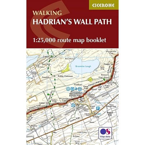
Hadrian's Wall Path Map Booklet
This Cicerone Booklet is a map of the complete of the Hadrian's Wall Path between Bowness-on-Solway in Cumbria to Wallsend in Newcastle. This National Trail is...
Regular price £12.95 GBPSale price £12.95 GBP Regular priceUnit price perSale Sold out -
Sports & Hobbies
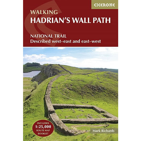
Hadrian's Wall Path Cicerone Guidebook
This Cicerone walking Guidebook covers the Hadrian's Wall Path it runs the length of the Roman Wall from Bowness-on-Solway in Cumbria to Wallsend, Newcastle. This 84...
Regular price £17.95 GBPSale price £17.95 GBP Regular priceUnit price perSale Sold out -
Sports & Hobbies
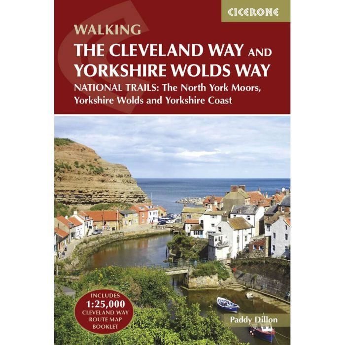
Cleveland Way and the Yorkshire Wolds Way Cicerone Guidebook
This Cicerone walking Guidebook describes two National Trails the Cleveland Way and the Yorkshire Wolds Way. Also included is the Tabular Hills Walk so that the...
Regular price £17.95 GBPSale price £17.95 GBP Regular priceUnit price perSale Sold out -
Sports & Hobbies
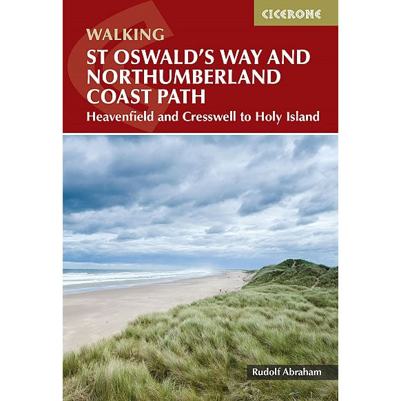
St Oswald's Way and Northumberland Coast Path Guidebook
This Cicerone walking Guidebook describes the St Oswald's Way, stretching 97 miles (156km) through Northumberland from Heavenfield near Hadrian's Wall, to Holy Island (Lindisfarne) and taking...
Regular price £16.95 GBPSale price £16.95 GBP Regular priceUnit price perSale Sold out
