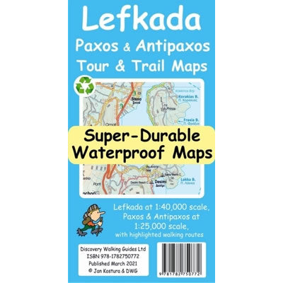
Lefkada, Paxos and Antipaxos Tour and Trail Map
Couldn't load pickup availability
Description
This Lefkada, Paxos and Antipaxos Tour and Trail Map covers the Ionia Islands of Lefkada at a scale of 1:40,000 plus Paxos and Antipaxos at a scale of 1:25,000. The map is double sided with Lefkada plus Meganisi Island and a large area of the adjacent mainland peninsula (as far as Voulkaria Lake in the northeast and Pogonias village in the southeast) on 1 side, with Paxos and Antipaxos on the other.
Away from the coastal resorts of Lefkada there are many excellent walking and hiking paths that are detailed on this map. This includes the spectacular mountainous interior of Lefkada, with the highest peak being Mount Elati at 1,158m above sea level, along with Melissa gorge and Dimosari gorge.
Published by Discovery Walking Guides in April 2021 (1st Edition), all the place names on the map are in English and Greek to aid your navigation.
This Lefkada, Paxos and Antipaxos Super-Durable map is water-proof, split-proof, tear-proof and adventure-proof that can take the roughest treatment and still folds up like new after your adventure. Backed up with a 2-year guarantee these Super-Durable maps have a special concertina map fold that means they easily unfold when in use, and more importantly folds back up easily to its compact pocket size even after the toughest of use.
Scale is 1:40,000.
ISBN is 9781782750772.

