
Torcal de Antequera Natural Park Map
Couldn't load pickup availability
Description
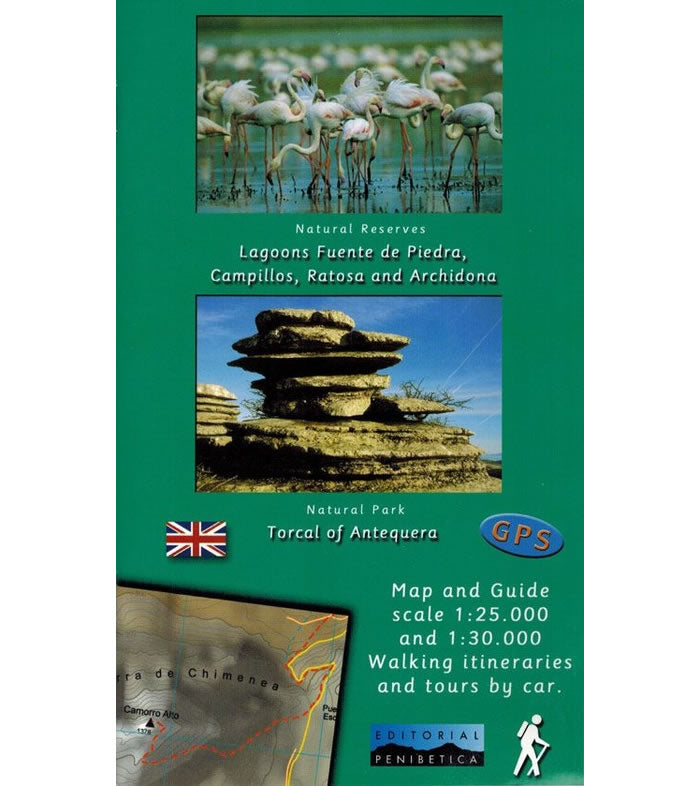
This is a 2-map set. The first map covers the Torcal de Antequera Natural Park at a scale of 1:25,000. The second map covers 4 Natural Reserves on a single map at a scale of 1:30,000. These are the Lagoons Fuente de Piedra, Campillos, Ratosa and Archidona. All of these areas are located to the north of Malaga.
The Torcal de Antequera Natural Park is renowned for its surreal limestone rock formations and dramatic karst landscapes with mountains rising to 1,339m high. This compact Natural Park offers a wide variety of walking routes of varying difficulty that are detailed on the map. Many of the walks offer panoramic views, including the stunning viewing point called Mirador Las Ventanillas with views over the sea and the surrounding countryside.
The Lagoons Fuente de Piedra is the largest natural lake in Andalusia and a vital sanctuary for flamingos and other migratory birds. Besides flamingos, this saltwater lagoon supports over 170 bird species, including avocets, stilts, shelducks, and gulls. There various walking trails and observation points that are shown on the map and allow for eco-friendly exploration of the reserve.
Accompanying the maps is a guide describing various walking routes and car tours, that is in English text throughout.
Map Scale is 1:25,000 and 1:30,000.
Folded size is 125mm x 210mm.
ISBN is 9788493444921.
