1
/
of
1
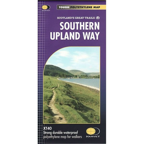
Southern Upland Way XT40 Harvey Map
Regular price
£17.50 GBP
Sale price
£17.50 GBP
Regular price
Unit price
/
per
Sale
Sold out
Sold out
Shipping calculated at checkout.
Couldn't load pickup availability
Description
This is a complete map of the Southern Upland Way showing the entire route on 1 sheet. The Southern Upland Way is one of Scotland's Great Trails, and was Britain's first official coast to coast long distance walking route (opened in 1984).The Southern Upland Way is 212 miles long (340km), running across the country from the Atlantic Ocean to the North Sea. It starts at Portpatrick on the south west coast of Scotland and finishes on the east coast at Cockburnspath - Scotland's great coast to coast route.
The route offers superb and varied walking, taking you through an enormous variety of scenery of moorland, rolling hills and occasional rocky outcrops. Over 80 summit rise above 2000ft (610m), offering some fine hill walking.
This Southern Upland Way XT40 Harvey Map is printed on light, waterproof and tear-resistant synthetic paper, and it is GPS compatible. The map key and legend is in English, French and German text.

