
Posets and Maladeta Natural Park walking map
Regular price
£9.95 GBP
Sale price
£9.95 GBP
Regular price
Unit price
per
Sale
Sold out
Shipping calculated at checkout.
Couldn't load pickup availability
Description
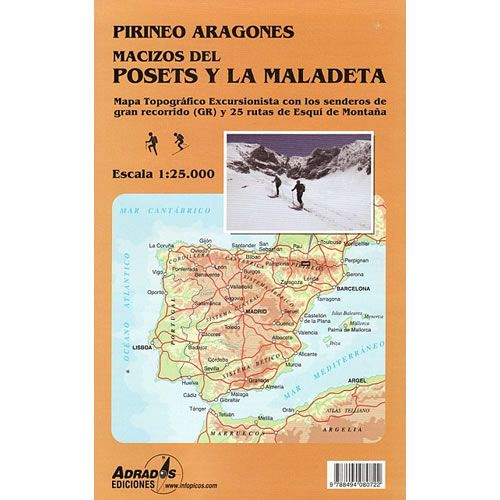
This map covers the Posets and Maladeta Natural Park in the central part of the Spanish Pyrenees. The Posets and Maladeta Natural Park is located to the west of the Ordesa National Park and east of the Aigüestortes National Park.The Posets and Maladeta Mountains that form the Natural Park are represented on a single sheet, each on one side of it, with a large area of common overlap, making it easy to switch between each side of the map. The map also covers the Plan and Zinqueta Rivers, the Benasque Valley, Pico Aneto, and Espitau de Vielha in Val d'Aran.
This map is ideal for walkers and skiers alike, with all walking paths shown including the GR11 long-distance trail and 25 mountain ski routes. The map also shows the location of the many refuges in the area, plus campsites, climbing or kayaking locations, caves, and information offices.
Published in 2016 by Adrados Ediciones the map legend is in Spanish text only.
Map Scale is 1:25,000
Map sheet size is 1,000mm x 680mm
Folded size is 210mm x 140mm
ISBN is 9788494080722
