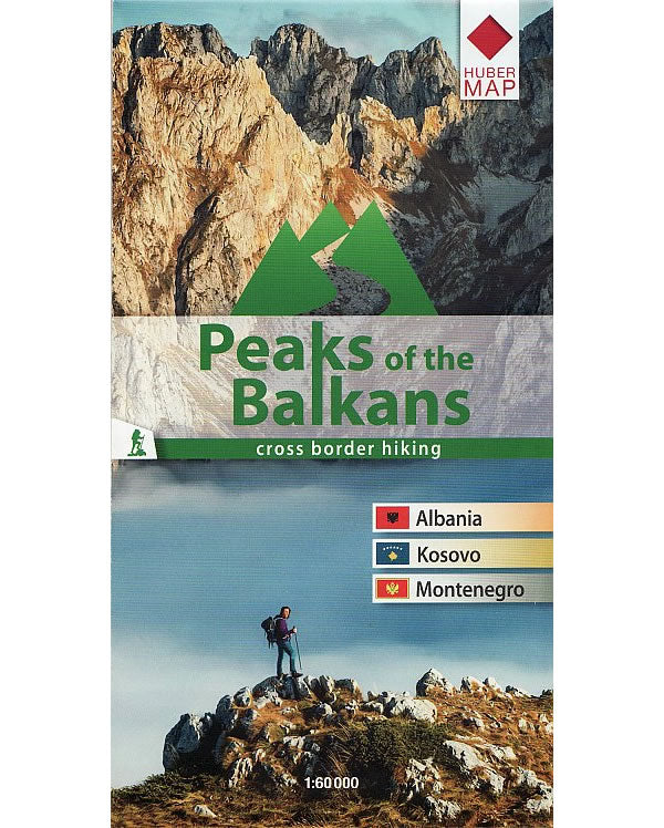
Peaks of the Balkans Mountain Map
Couldn't load pickup availability
Description
The Peaks of the Balkans Mountain Map describes a unique 192km trail through the wild mountainous area of the western Balkans. The map shows the trail through the mountains in the border region of Albania, Kosovo, Montenegro. On the reverse of the map there is a detailed description of the various parts of the route including elevation profiles.
The 192km long Peaks of the Balkans trail is a circular route that passes through one of the remote and wild mountainous region of the Western Balkans. The trail follows shepherd paths and footways and reaches heights of up to 2,300m. The wild mountain scenery provides a wide range landscapes, from green valleys and crystal-clear mountain lakes, to waterfalls, rivers and remote picturesque mountain villages in Montenegro, Albania and Kosovo.
Published in July 2022 (Revised 2nd edition), the map legend/key is in English, German, Albanian and Bosnian text. The detailed description on the reverse of the map is in English text only.
Map Scale is 1:60 000
Folded size is 120mm x 230mm
ISBN is 9783943752502.

