1
/
of
1
Irish Adventure Map - Wicklow Central
Regular price
£16.99 GBP
Sale price
£16.99 GBP
Regular price
Unit price
/
per
Sale
Sold out
Sold out
Shipping calculated at checkout.
Couldn't load pickup availability
Description
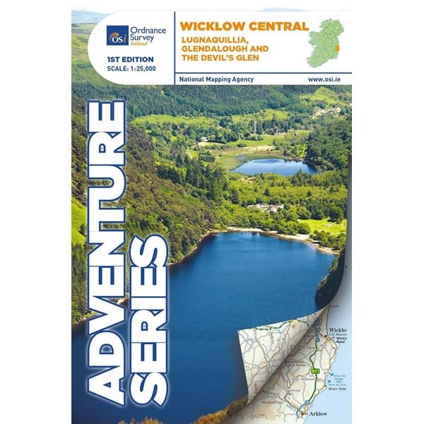
This Wicklow South Adventure Map covers Lugnaquillia, Glendalough, and the Devils Glen in the central part of the Wicklow Mountains. Also included are the towns and villages of Roundwood, Laragh, the Vale of Glendalough, Glenealy, Rathdrum, Ballyknockan and Hollywood.The two highest mountains in the Wicklow National Park are featured on this map, which are Lugnaquillia at 925m high, and Mullaghcleevaun at 849m high. Other mountains also included are Luggala (Fancy mountain), Tonelagee, Scarr, Camaderry, Silsean, Mullaghcleevaun,Table Mountain, Conavalla, Clohernagh, and Slievemaan.
Various walking trails and paths marked on this map, including the central section of the Wicklow Way, Waterfall Walk, Seamus Heaney Walk, Derrybawn Woodland Trail, Spink Short Route, St Kevins Way, Clara Vale Trails, Jubilee Walk and Deputy’s Pass.
Glendalough and The Devil’s Glen have much to offer with mountains, hills, valleys and historic monuments. Highlights of the area include: Glendalough Monastic Site, Glenmacnass Waterfall and Roundwood which is one the highest villages in Ireland.
Marked on this map are the Avonmore River, the Vartry River, the Glendasan River, Glenmacnass River, the Avonbeg River, the Slaney River and Kings River. Lough Tay, Lough Dan, Lough Ouler, Upper Lake Glendalough, Lower Lake Glendalough, Vartry Reservoir and the southern part of the Pollaphuca Reservoir also feature on this map.
The Adventure Series of maps provide detailed mapping at scale of 1:25,000. They are aimed at outdoor enthusiasts to enjoy mountaineering, hill walking, cycling, and water sports. All Adventure Series Maps are printed on Water Resistant Paper.

