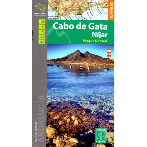
Cabo de Gata – Nijar Natural Park Walking Map
Couldn't load pickup availability
Description
This map covers the Cabo de Gata – Nijar Natural Park in the southeast part of Andalucia close to the city of Almeria in southern Spain. The map covers an area from El Cabo de Gata in the west to Carboneras in the east.
The map shows a great network of walking and hiking trails at a scale of 1:50,000. The map shows 12 suggested walking and hiking routes, plus 6 mountain biking routes. The Cabo de Gata – Nijar Natural Park is the largest coastal protected area in Andalucia. It is characterised by beautiful coastal scenery, steep cliffs that plunge into the sea, plus the salt pans that attract a wealth of migrating birds.
Published by Editorial Alpina in 2022, the map key/legend are in Spanish and English text throughout. The map is GPS compatible.
Map Scale is 1:50,000.
Folded size is 115mm x 210mm.
ISBN is 9788480906593.

