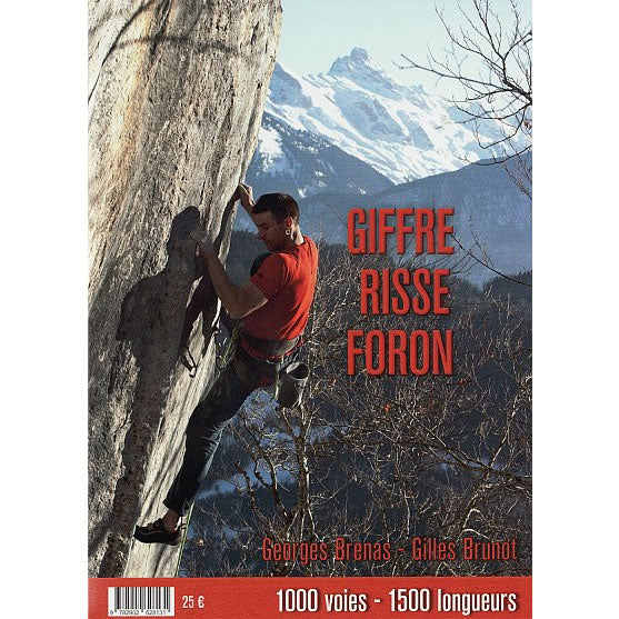
Giffre, Risse, and Foron rock climbing guidebook
Couldn't load pickup availability
Description
This guidebook describes multi-pitch routes and single pitch sport routes in the Haute Savoie area of France between Cluses and Morzine. This area is situated between Chamonix (to the east), Annecy (to the west), and Genève (to the north).
The guidebook describes both single pitch sport routes and big multi-pitch routes ranging from 100m long up to 1,200m long. They cover a wide range of grades, at an altitude between 650m and 2,500m. The multi-pitch routes tend to be bolted though some routes will also require trad gear.
In total the guidebook covers 1,000 routes that equates to 1,500 pitches across 35 crags. The guidebook is split into 4 main areas; Haut Giffre; Morzine – Les Gets; Taninges – Mieussy; and Valle du Risse.
- 16 crags are described in the Haut Giffre area near the towns of Samoens and Sixt, where most of the long multi-pitch routes are.
- 7 crags are described around the towns of Morzine and Les Gets.
- 6 crags are described around the towns of Taninges and Mieussy.
- 6 crags are in the Valle du Risse around the villages of St-Jeoire, Onnion, and Megevette.
All the routes are shown on a mixture of colour photo topos and colour detailed topos along with a description. For each crag there is access information, a location map, and GPS co-ordinates for the parking areas. Symbols indicate the style of climbing to be found, altitude, crag orientation, and the best time of the year to climbing there.
The Bornes Aravis rock climbing guidebook covers an area immediately to the south of the area covered in this guidebook, to the south of Cluses.
Published in April 2021 (revised 2nd edition) this guidebook is in French text throughout but a large amount of information is conveyed by symbols and easy-to-follow information.
Number of pages is 184.
Size is 150mm x 210mm (A5).
ISBN is 9782902628131.

